Winter temperatures make their return by the weekend
You knew this wasn't going to last, right?
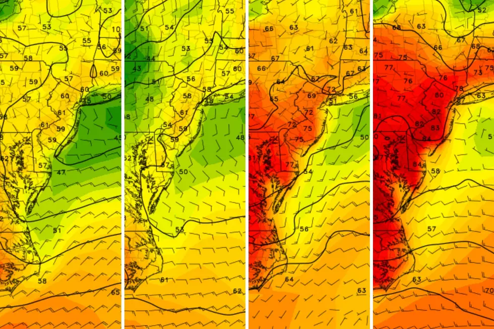
If you haven't noticed, temperatures have been backsliding since late Sunday, after a brief and bizarre winter warmup that temporarily made it feel like April in the Garden State. But there are still two more months of winter to go!
We will not notice much of a change on Wednesday or Thursday. Both are partly cloudy days — sun being more prevalent on Wednesday — with the same kind of North Jersey-to-South Jersey temperature spread we talked about on Monday.
Wednesday, that means high temperatures in the upper 40s across the northern half of the state, transitioning into the mid-50s in the southern part. Thursday, a breeze could make things a couple of degrees cooler on the northern end.
In between, clouds will increase Wednesday night, with a few rain showers coming in during the early morning hours on Thursday. Overnight lows Wednesday into Thursday will generally be in the 40s.
Friday is when temperatures start to get chilly again. It'll be sunny to wrap up your work week, but highs will do no better than the 30s. Then, we have a chance of a rain/snow mix to watch out for early Saturday, but details on that have yet to come into sharp focus.
Get ready to bundle up!
Chief Meteorologist Dan Zarrow returns Monday, Jan. 27. Patrick Lavery is Senior Producer of Morning News and Special Programming for New Jersey 101.5, and is lead reporter and substitute anchor for "New Jersey's First News."

More from New Jersey 101.5:
More From New Jersey 101.5 FM


