

The Bottom Line
Same story, different day. Copy and paste Tuesday's weather into Wednesday's forecast, and it would be pretty close. Our stretch of bright, dry, pleasant February weather continues.
There are changes ahead though. Clouds will roll in. Temperatures will go up. And spotty rain chances enter the forecast for the upcoming weekend. (Having said that, I have not included "rainy" icons on my 5 Day Forecast — that tells you how low that weekend rain chance really is.)
We are watching a potent clipper system set to slide through New Jersey early next week, in the Monday-Tuesday time frame. And, as we tap into colder air again, there is a reasonable chance for accumulating snow.

Wednesday
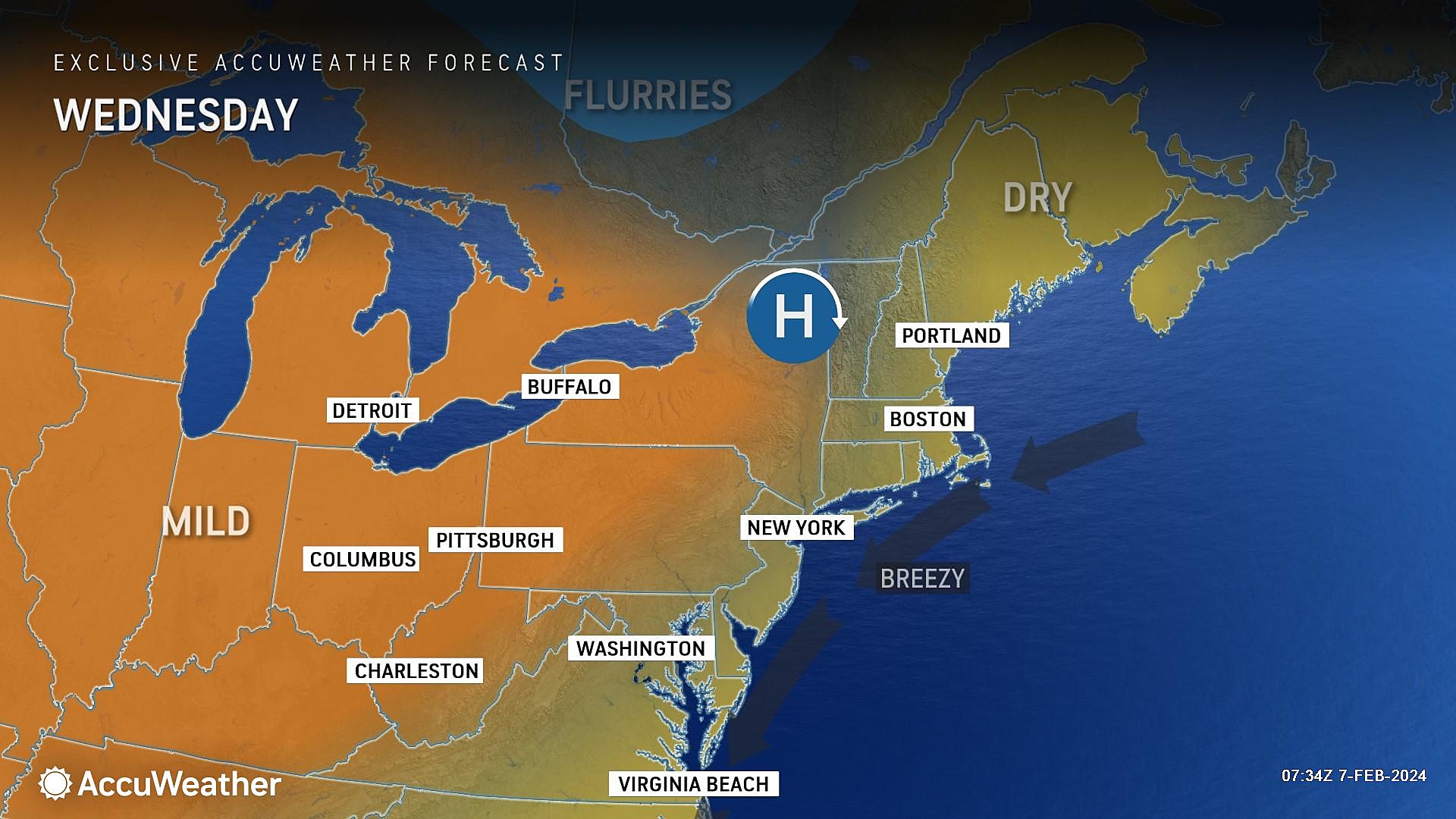
I have to admit, it is even colder than I expected on this Wednesday morning. Temperatures have fallen deep into the 20s to start the day, away from the immediate coast. An effect of the crystal clear sky, bone dry air, and lack of wind.
For the most part, Wednesday will be another bright and sunny day. Just like on Tuesday, I suspect a bank of thick cloud cover will park just over the ocean. Unlike Tuesday, some high clouds may come into view statewide by late afternoon.
Regardless of a few pesky clouds, it will be another dry, seasonable, and pleasant day (by early February standards). Highs Wednesday afternoon should reach the mid 40s. A degree or two warmer than Tuesday, and slightly above normal for this time of year.
Wednesday night stays quiet, with a few clouds overhead and cold temperatures. We are forecast to bottom out around the 30-degree mark by Thursday morning.
One more item worth mentioning. There's still some minor coastal flooding in the forecast for the Jersey Shore over the next few days. Especially in back bays, tributaries, inlets, etc. With a strong coastal storm system churning up the Atlantic, and a higher-than-usual astronomical tide, water levels are just running a few inches above flood stage.
Thursday
Still quite pleasant. And dry. I just can't call Thursday totally "sunny" like the last five days have been.
One important change is coming up on Thursday: A wind shift, from northerly to southerly. That will fuel a warmup, lasting through the upcoming weekend.
Tuesday's high temperatures should come close to 50 degrees. We will start the day with sunshine, becoming partly sunny as clouds build in through the afternoon.
Still no weather problems though. Winds will stay light, and weather will stay dry.
Friday
Even more clouds will fill in Friday, but I am optimistic we will still see plentiful peeks of sun.
The warming trend will continue, with highs around 50 to 55 degrees. Starting to feel awfully March-ish around here.
As a weak disturbance passes close to New Jersey, a sprinkle may pop up at some point Friday. It is a situation where most of the day and most of the state should stay completely dry.
Saturday & Sunday
This weekend will look and feel unsettled. There will be some light, brief rain showers around. But temperatures will soar even higher.
Saturday will be mostly cloudy and mild, with highs in the mid to upper 50s. We could touch 60 degrees in South Jersey. Just watch for a hit-or-miss shower, especially in the afternoon or evening.
Sunday will be similar. Thicker clouds will keep temperatures closer to the mid 50s. And Sunday's best shower chance will be early.
The Extended Forecast
For some time now, we have been pinpointing next week as the return of colder, more active weather. And that outlook is still holding true.
Models are converging on a strong clipper system sliding past New Jersey between about midday Monday through midday Tuesday. The exact timing and track will dictate precipitation type.
Right now, I'll say it looks like a messy "mainly rain to mainly snow" transition for the Garden State. A few inches of snow accumulation look possible, especially in colder North Jersey.
But exactly how much falls in each of NJ's 21 counties? When will the "brunt" of the storm be, with the heaviest precipitation? Will slippery travel affect Monday evening's commute? Or Tuesday morning? That is what I mean by "storm impacts" — the most important piece of the forecast puzzle, that we will piece together in the coming days.
Beyond that storm, chilly temperatures should take hold of New Jersey through Valentine's Day and beyond. Highs might only reach the 30s for much of next week — a far cry from this weekend's near-60 degree weather.
NJ speaks: What is the end of a loaf of bread called?
Gallery Credit: Dan Zarrow
Dan Zarrow is Chief Meteorologist for Townsquare Media New Jersey. Follow him on Facebook for the latest forecast and realtime weather updates.
POP QUIZ: Can you name all 10 interstate highways in New Jersey?
Gallery Credit: Dan Zarrow
More From New Jersey 101.5 FM


