Temps still below average as 2nd week of May begins
Much of New Jersey has failed to feel above-average temperatures at any point in this calendar month so far, a trend that looks to continue as we start another week.
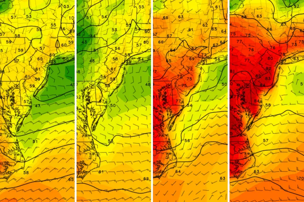
Daytime forecasts for Monday and Tuesday look exactly the same, so we'll cover them both up front and then circle back to Monday night. Both days feature a lingering chance of a sprinkle or shower in far North Jersey, with clouds and sun mixing in that area and more sun the farther south in the state you go. Temperatures will only peak around 60, probably settling into the mid-50s in most places.
In between those two copycat days, Monday night will bring some cloud cover, likely mostly cloudy in North Jersey and only partly cloudy throughout South Jersey. With lows ranging from the mid-40s in urban areas all the way down to the mid-30s away from the cities, some of those more inland areas could be susceptible to patchy frost.
Looking ahead to Wednesday, a slight warmup is on tap across the state, but probably only up to about 65 degrees. Clouds should begin to clear altogether, though, and we'll get a sunnier day overall before rain returns for the end of the week.
Meteorologist Dan Zarrow will return later this week. Patrick Lavery produces "New Jersey's First News" and is New Jersey 101.5's morning drive breaking news reporter.
More from New Jersey 101.5:
More From New Jersey 101.5 FM


