Quiet Wednesday for NJ, before heavy rain returns to the forecast
Temperatures will remain below seasonal normals through the end of the week, before flooding and severe weather concerns crop up once again.
Wednesday: A Decent Day
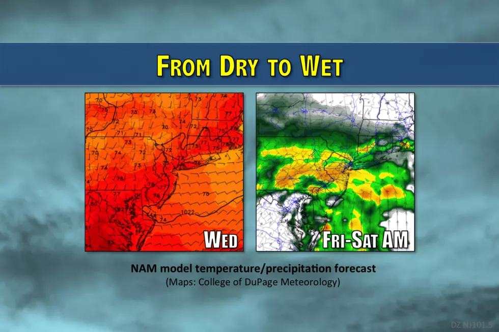
Variety is the spice of life. And the spice of the weather forecast too. Even though Tuesday was a grey, damp, cool, and occasionally "yucky" day, it was a welcome change in pace from the sultry, sticky, stormy weather of the past few days. Yes, believe it or not, even in the summertime, we occasionally see clouds and cooldowns. Wednesday's forecast looks fairly pleasant, certainly better and brighter than Tuesday.
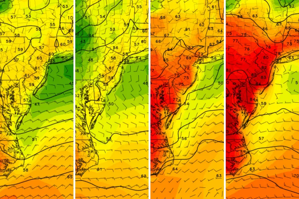
High temperatures for Wednesday will remain below normal for late July, ranging from the mid 70s for northern and coastal New Jersey to near 80 degrees to the south and west. (On-air, you'll hear me promote "upper 70s" as a statewide average.) Meanwhile, the clouds should break apart a bit, as our skies average partly sunny. While forecast models suggest a stray shower is possible at any time, the day does looks drier and more pleasant than Tuesday.
Wednesday night looks quiet and comfortable — two words we like to hear in the overnight forecast. Reasonable humidity levels will allow low temps to fall into the mid 60s or so by Thursday morning.
Thursday-Friday: Turning Wet Again
There are two notable atmospheric disturbances in the medium-range forecast: a front, and a coastal storm system. This combination will probably result in an extended period of (very) wet and (very) stormy weather for the Garden State.
Round one will come on Thursday. Clouds will increase during the day, and humidity ticks upward (dew points will rise from the 60s to around 70). It will get a bit warmer too, with highs climbing into the lower 80s for most of New Jersey. The best chance for showers and thunderstorms will develop in the afternoon and evening hours. Any storm that does form could become strong or severe, with gusty winds, localized downpours, and frequent lightning. You know the deal — we've played this game countless times already in July.
Sometime on Friday (or possibly Saturday), the aforementioned coastal storm system will end up right on top of New Jersey. This presents the risk for very heavy rain. Several (2 to 4) inches of rain. Flooding could be a big problem at some point. In addition, there will be plenty of energy in the atmosphere to produce some noisy and powerful embedded thunderstorms on Friday.
The Weekend: Not Quite Perfect
In my weather blog posts from earlier this week, my description of the upcoming weekend has ranged from "good" to "spectacular". As the forecast picture becomes clearer, I now have to temper that excitement, as the first part of the weekend now looks less-than-pleasant. The forecast for the finish of the weekend, however, remains fantastic.
The latest model guidance suggests Friday's rain will linger (and possibly even peak) early Saturday morning. So, my latest forecast puts raindrops over New Jersey through about Noon on Saturday. I remain hopeful that clearing skies and drier conditions will make Saturday afternoon tenable. But the clouds, rain, and brisk northerly wind will keep temperatures on the cool side of normal for another day, peaking at or below 80 degrees.
And then along comes Sunday, the kind of weather that summer dreams are made of. Unbelievably low humidity will allow for perfectly sunny, blue skies. That will allow high temperatures to climb to the mid 80s for inland NJ (around 80 along the coast). Simply beautiful.
If everything else holds constant, the long-range forecast shows an extended period of very warm, but otherwise calm weather. At the very least, Monday and Tuesday look sunny and quiet, with at least some high temperatures in the state making a run for 90 degrees.
More From New Jersey 101.5 FM


