
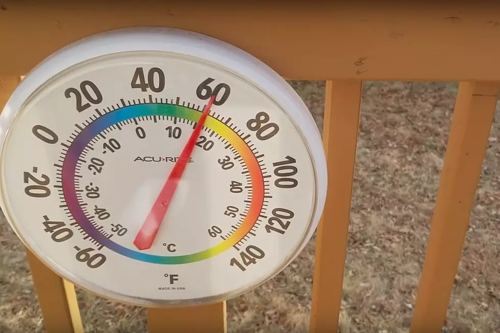
NJ’s big warmup is on — 40s, 50s, maybe even 60s
The Bottom Line
Let's recap high temperatures at the Trenton Mercer Airport weather station over the last four days. On Saturday (Christmas Eve), it was a bone-chilling 14 degrees. 26 Sunday (Christmas Day). 28 Monday. And 34 on Tuesday, above freezing at least.
The warming trend will kick into high gear on Wednesday, as building high pressure and a light southwesterly breeze push temperatures higher. We will begin a stretch of above normal temperatures that will last into the new year. Highs will reach the 40s and 50s, with 60+ a possibility by the end of the weekend.
Meanwhile, there is only one storm system on the horizon. It is a rainmaker, but will unfortunately coincide with the New Year's Weekend. While dangerous, severe weather seems unlikely, it could be pretty soggy and inclement to ring in 2023.

Wednesday
Wednesday morning's temperature map is rather odd — it is warmer in North Jersey than in South Jersey. The reason? Cloud cover. A blanket has kept the northern third of the state tucked in snugly overnight, preventing temps from dropping much below 30. Meanwhile, farther south, it is closer to a chillier 20 degrees to start the day.
So you'll still want a coat to start the day. But Wednesday afternoon's warmup will be noticeable. And welcome, for that matter.
Look for highs in the mid 40s. That is actually a hair above normal for late December.
I'll call the day partly sunny, mixing bright spots with fair weather clouds. We should stay dry, with light winds.
Wednesday night stays quiet, with some lingering clouds and low temperatures in the lower 30s.
Thursday
Early clouds should quickly yield sunshine, as high temperature push toward 50 degrees. I think it's fair to call Thursday a nice December day.
Friday
Even warmer. Highs are forecast to push into the lower to mid 50s — about 10 degrees above normal for this time of year. We will fully enjoy the mild temperatures, as dry weather continues. I am seeing sunshine for most of the day Friday, although clouds will increase later on.
Saturday (New Year's Eve)
Not so pretty. But still mild.
Skies will progress from mostly cloudy to overcast. An isolated rain shower may creep into New Jersey by midday Saturday. But the "main event" — a period of widespread, steady rain — is expected from the late afternoon through evening hours.
Forecast models are not in great agreement about rainfall totals. The GFS shows a respectable quarter to half inch, while the Euro pushes totals closer to an inch. In either case, it will be a wet and soggy scene all across the Garden State.
As it stands, the wettest weather should wrap up before the ball drops on 2023. But that timing is not 100% looked in at this point.
Sunday (New Years Day)
There could be some lingering showers and clouds to start 2023. But we can optimsitically look forward to partial sunshine by Sunday afternoon.
Best of all, temperatures will still be mild. In fact, the southern half of New Jersey could touch 60+ degrees.
New Year's Day warmth is not all that unusual. We kicked off 2022 at 59 degrees (at ACY). And January 1, 2019 hit 65 (with a trace of rain).
The Extended Forecast
The mild temperature should continue through the first week of January. High temperatures will vary from the 50s to the 60s.
Needless to say, with such unseasonable warmth, there is still no viable snow threat on the horizon.
Dan Zarrow is Chief Meteorologist for Townsquare Media New Jersey. Follow him on Facebook or Twitter for the latest forecast and realtime weather updates.
LOOK: See how much gasoline cost the year you started driving
Gallery Credit: Sophia Crisafulli
25 True Crime Locations: What Do They Look Like Today?
More From New Jersey 101.5 FM


