

NJ weather: Cool and quiet for now, watching potent coastal storm
The Bottom Line
Welcome to Spring, New Jersey! Well, almost. The Vernal Equinox, marking the official start of the spring season, arrives at 11:06 p.m. Tuesday. We are holding at about 12 hours of daylight, which will increase to about 15 hours at the Summer Solstice — June 20th this year.
Weatherwise, things are not going to feel very springlike for the next week-plus. We are back to bundling up, as temperatures settle mainly below normal. That means daily lows near the freezing mark, and afternoon highs primarily in the 40s. There will be a few "ups and downs" along the way, but it is hard to pick a truly "pleasant" day in the forecast. Especially with the persistent chilly breeze.
A few rain and snow showers are possible along the way, especially Wednesday afternoon.
We are also watching a potentially significant coastal storm system brewing for late-week, in the Friday night to Saturday time frame. Heavy rain, gusty winds, coastal flooding, and a little bit of snow are all on the table. The magnitude of rainfall, wind, surge, and snowfall are still very much in question, with a wide range of model solutions floating out there.

Tuesday
The day begins with temperatures near the freezing mark and bright, sunny skies. Winds are already elevated, with breezy conditions adding a bite to the cool air.
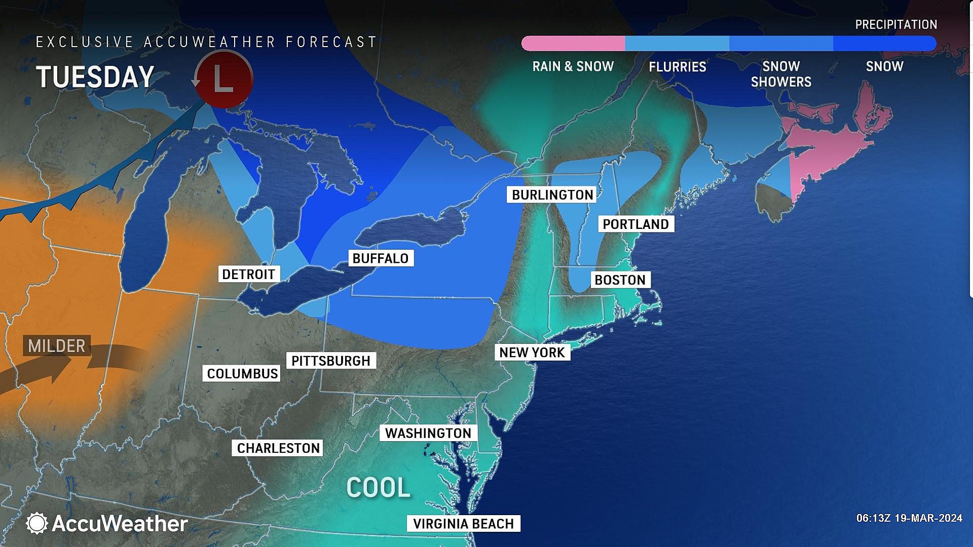
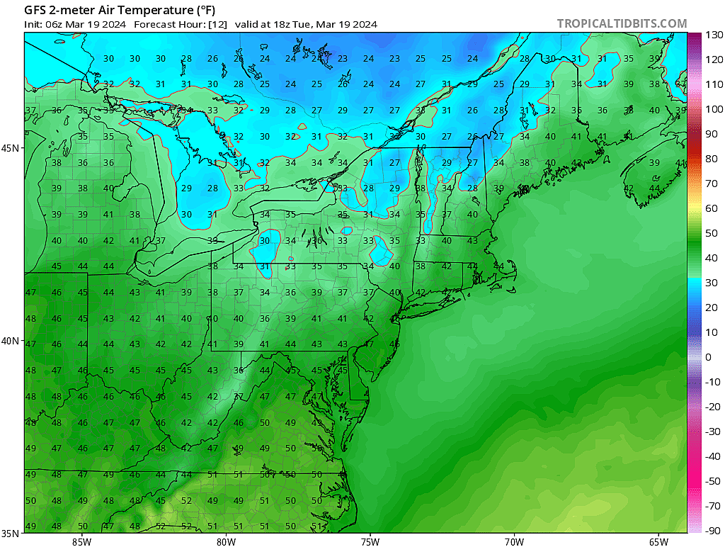
High temperatures Tuesday afternoon will be limited to the mid 40s. That is about five degrees below normal for this time of year. We will see clouds fill-in through the afternoon, as the stiff westerly breeze continues.
I can't rule out a few flurries flying around Tuesday, and even an outright snow shower Tuesday night. Otherwise, we will see mostly cloudy skies overnight, with low temperatures falling into the upper 30s. Because of the breeze and cloud cover, thermometers should predominantly stay above freezing overnight.
Wednesday
Wednesday will feel better. High temperatures push to around 50 to 55 degrees, which is close to the seasonal normals for late March. Of course, it will still be breezy, with top gusts still holding around 20 mph.
We will see a mix of sun and clouds across the day Wednesday.

And it looks like a batch of spotty showers will clip through the Garden State around the Wednesday afternoon hours. Having said that, our atmosphere is pretty dry right now. So don't expect much — just some hit-or-miss raindrops and snowflakes. (Yes, surface temperatures will be in the 50s, so it will be mostly wet and not wintry.)
Wednesday night stays breezy, if not downright windy, as cold air whooshes in yet again. A widespread freeze is likely by Thursday morning.
Thursday
Thursday is looking like the coldest day of the week. 30 in the morning, and only lower to mid 40s in the afternoon, plus a strong northwest wind? It will feel much more like a February day than a late March one.
At least Thursday will be bright and sunny. And completely dry.
Friday
Friday daytime will be a continuation of Thursday, although less blustery. Mostly sunny and mid 40s.
Clouds will increase late-day ahead of our next storm system. Rain may start creeping into the picture late Friday evening.
The Extended Forecast
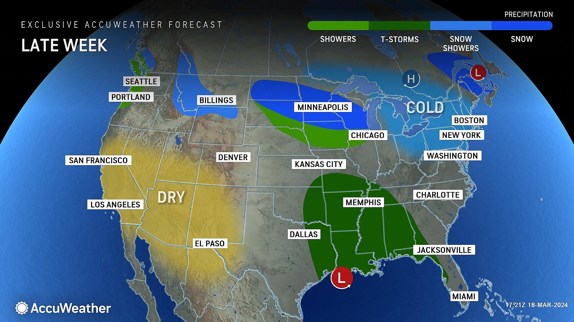
The big weather story in the long-range forecast is a coastal storm system, expected to slide up the coast this weekend.

This could be a significant weather event, another wind-blown rain machine with flooding potential. But there are a few possible scenarios that may play out — let me list the top three:
1.) Just Showers
A glancing blow by this broad storm system would produce some rain showers from Friday night to Saturday morning, but the rest of the weekend would be saved. It would be windy, driving several rounds of coastal flooding.
2.) Rainy, Windy, Nasty Day
This is the most likely scenario right now. A direct hit by this potent area of low pressure would result in about 24 hours of wet weather, from Friday evening through Saturday evening. Rainfall would be heavy at times, likely reaching 1 to 2 inches. (With the highest totals along the Jersey Shore.) There could be some areas of ponding and flooding, especially during torrential downpours. Depending on timing and temperatures, a brief period of wintry mix may occur in the higher elevations of NW NJ for a few hours at onset. (Although I doubt there would be any accumulations.) For the duration, wind gusts may exceed 40 mph. And several rounds of coastal flooding would be likely at high tide.

3.) Storm Gets Stuck
I need to stress this option is highly unlikely at this point — but the possibility of a "worst case scenario" is worth watching. The Euro model showed a particularly nasty solution this morning, showing the storm system basically getting "stuck" and retrograding toward NJ for several consecutive days. That means you would copy scenario #2 and copy-paste it to Sunday and Monday too. Raw model output for total rainfall reaches 6 inches in this solution, which could lead to dramatic flooding. The wind and wave machine would pound the coast for several days too.
I am not ready to ring alarm bells for the weekend just yet. But we will be tracking this storm system carefully. And you should keep an eye on the latest forecasts and updates too.
Spring is here: This NJ park is a great place to explore
Gallery Credit: Kyle Clark
Dan Zarrow is Chief Meteorologist for Townsquare Media New Jersey. Follow him on Facebook for the latest forecast and realtime weather updates.
Spring has sprung in NJ, check out these flowers
Gallery Credit: Dennis Malloy
More From New Jersey 101.5 FM


