

How will Post-Tropical Cyclone Nestor impact NJ this weekend?
Once (briefly) a Tropical Storm, Nestor is now classified as a Post-Tropical Cyclone. (Arguably, it never showed stellar "tropical" organization, and it will not gain strength going forward.) As of 5 p.m. Saturday, the storm was estimated to pack maximum sustained winds of about 40 mph after making landfall near Apalachicola on the Florida panhandle. The National Hurricane Center has issued their last advisory on Nestor.
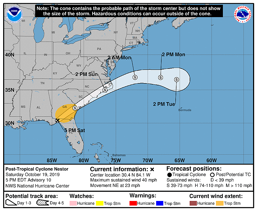
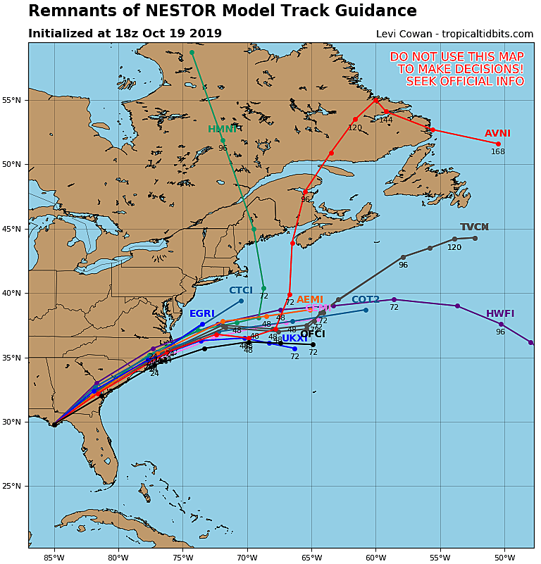
There are no big changes to the track forecast to report, since I last blogged on Friday. The storm will charge through the southeastern U.S. and eventually eject from North Carolina into the Atlantic Ocean.
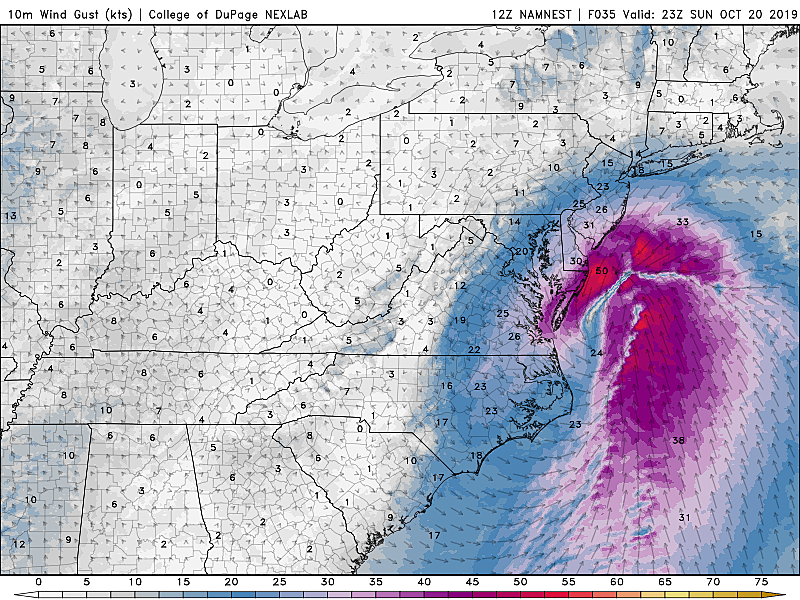
Sunday is looking pretty wet for New Jersey, especially (but not exclusively) through the second half of the day. Models are pointing to periods of moderate to heavy rain (1 to 2 inches) for southern and coastal New Jersey in particular. Yes, northern and central New Jersey are still likely to get wet too, with periods of showery to light rain throughout the day.

Wind gusts of 30 to 40 mph are likely along NJ's southern Shore.
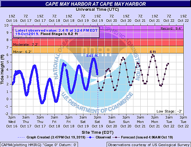
The storm surge picture looks better. As tide levels peek just below flood stage, only localized minor coastal flooding issues are expected through Monday.
Bottom line... Dangerous storm for New Jersey? Not really. Inclement weather Sunday? Yes indeed.
We'll flip back to seasonable, sunny weather on Monday. A cold front will bring another batch of rain through New Jersey on Tuesday.
Dan Zarrow is Chief Meteorologist for Townsquare Media New Jersey. Follow him on Facebook or Twitter for the latest forecast and realtime weather updates.
More From New Jersey 101.5 FM


