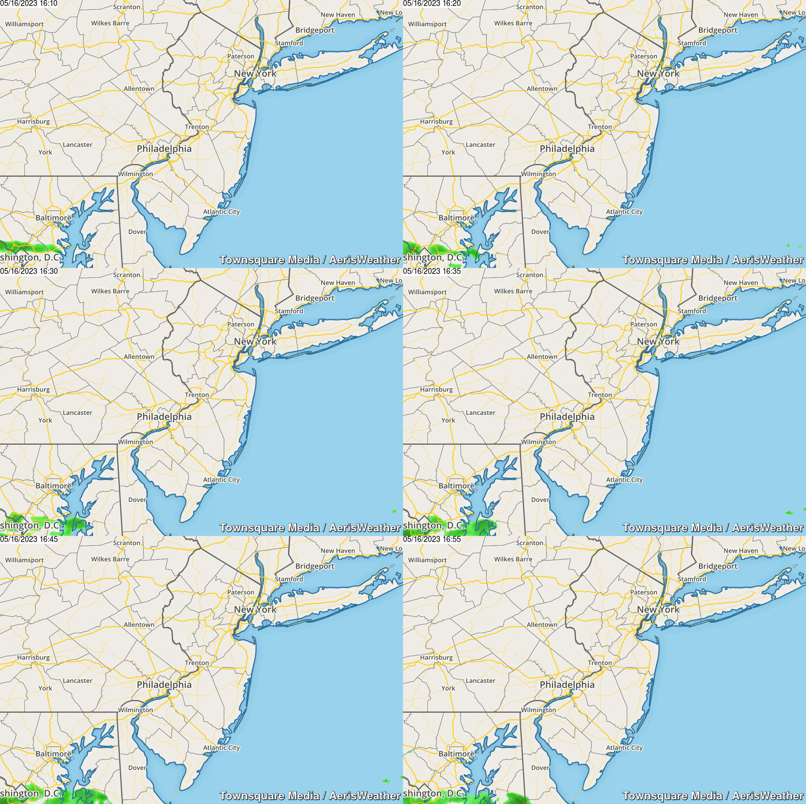
From steamy to stormy: Severe Thunderstorm Watch for NJ until 10 p.m.
Heat plus humidity plus a little bit of lift equals convective thunderstorms. And that's exactly what's barreling toward New Jersey on this steamy Wednesday evening — one quick round of storms, that could get pretty noisy and pretty nasty.
Here's an overview of what to expect...
Timing
First raindrops to the southwest around 5 p.m.
Peak thunderstorm activity and intensity between 6 p.m. and 8 p.m.
Residual showers through Midnight.
Impacts
A quick burst of wind (60+ mph gusts) and heavy rain (over an inch an hour) are likely. (Not for everyone — it depends where the strongest storm cells set up.)
Lots of lightning and thunder too.
The atmosphere may be conducive to hail and an isolated tornado too.
Severe Thunderstorm Watch
Issued when potentially dangerous thunderstorms (wind, hail, tornado) are possible within 6 to 8 hours. It does not guarantee a specific location will experience a storm, just highlights the high potential.
This Severe T-Storm Watch is in effect until 10 p.m. Wednesday for all 21 counties in New Jersey: Atlantic, Bergen, Burlington, Camden, Cape May, Cumberland, Essex, Gloucester, Hudson, Hunterdon, Mercer, Middlesex, Monmouth, Morris, Ocean, Passaic, Salem, Somerset, Sussex, Union, and Warren.
A watch is really just a waiting game. You should consider your outdoor plans for this evening carefully. Monitor changing weather conditions closely, and have some way of receiving weather warnings. If a warning is issued (Tornado, Severe Thunderstorm, or Flash Flood), that means a storm is imminent — be prepared to take shelter in a sturdy building.
Dan Zarrow is Chief Meteorologist for Townsquare Media New Jersey. Follow him on Facebook or Twitter for the latest forecast and realtime weather updates.
More From New Jersey 101.5 FM


