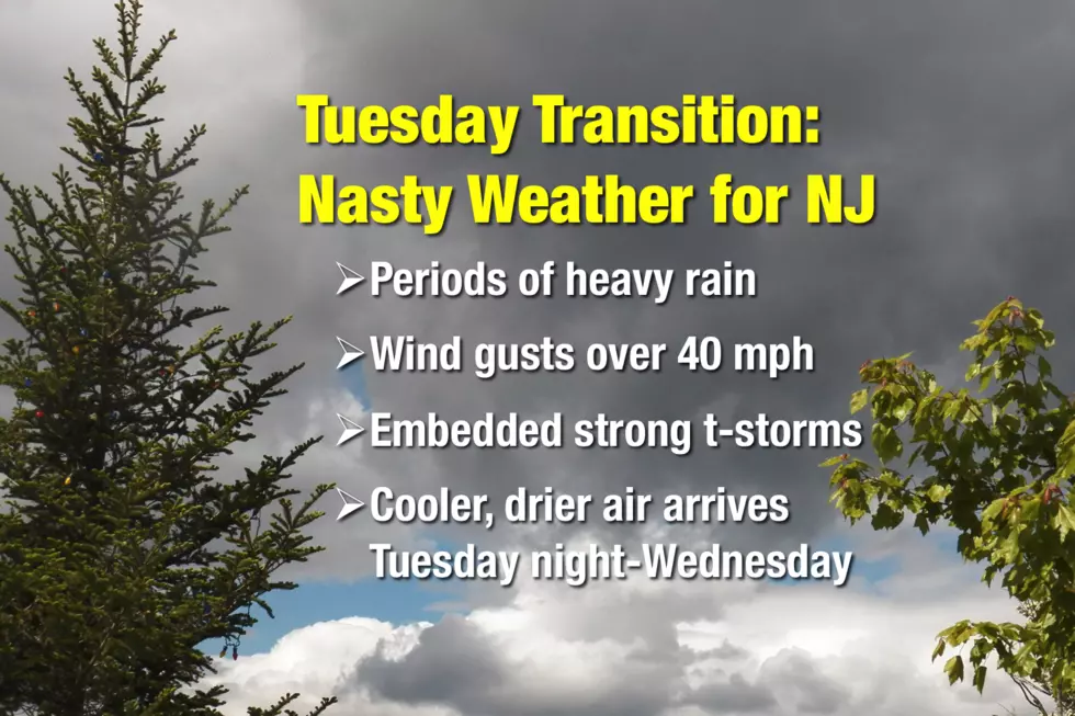
Clash of the air masses: A stormy Tuesday for NJ
Bands of rain and gusty winds will make for nasty weather conditions across the Garden State, before cooler and drier air arrives for the rest of the week.
As I have been promising for almost a week, Tuesday is transition day. After more than two weeks of mild, pleasant weather, a cold front will drive much-needed rain and not-needed wind through the Garden State. Behind the front? A cooldown. If you've been craving autumnal temperatures, we've got some on the way in the coming days.
Let's run through what you can expect for Tuesday and beyond...
Rain
As of this writing, the first few bands of rain are moving through New Jersey. Rain bands will likely remain scattered — in other words, it's not going to rain all day long. There will be numerous patches of steady rain. There will be pockets of heavy rain. I'm still thinking most of New Jersey will see a half-inch to an inch of total rainfall. But if a storm sits over one location for an extended period of time, localized 3+ inch of rain totals will be possible.
As our slow-moving front slides eastward, rain should begin to taper in western NJ by late afternoon. Substantially clearer and drier skies should take over the state by late evening.
Because this storm system will depart so slowly, I have to include a chance for some lingering rain along the coast on Wednesday (around midday).
Storms
Given the warmth and humidity in the air and the strength of the approaching front, it's no surprise that a few summerlike embedded thunderstorms are possible. Some of these may become strong or severe. The Storm Prediction Center has drawn New Jersey in the "Slight Risk" category in Tuesday's severe weather outlook. That's the fourth most serious category of five, suggesting a 15 percent chance of severe wind, and even a 2 percent tornado risk.
Wind
We have already seen gusts over 40 mph Tuesday morning, and many more are on the way. The fierce southeasterly wind should peak around mid to late morning, before slowly calming Tuesday afternoon and evening.
That kind of wind is sure to blow around garbage cans, lawn furniture, and Halloween decorations. Sporadic power outages are possible too.
A Wind Advisory has been posted for most of New Jersey through (at least) midday. The advisory includes the following counties through the following times:
--Until 8am... Sussex, Warren
-- Until 11am... Hunterdon, Mercer, Middlesex, Morris, Somerset
--Until 1pm... Atlantic, Burlington, Camden, Cape May, Cumberland, Gloucester, Monmouth, Ocean, Salem
--No Advisory Yet... Bergen, Essex, Hudson, Passaic, Union
Autumn Leaves
The combination of heavy rain and high winds will likely cause a great deal of leaf fall throughout Tuesday. Not only will that affect the future of our fall foliage season, those leaves are going to be very wet. Be prepared for very slippery conditions on roadways all day.
Cooldown
As rain tapers off and wind speeds decrease Tuesday evening, cooler and much drier air will start to flow into New Jersey. Overnight lows will fall into the upper 50s to around 60 degrees — just a hint of coolness.
Wednesday's high temperature should reach the mid 60s — still above normal for this time of year. Thursday will be a much more typical late October day, with morning lows in the 40s and afternoon highs around 60 degrees. (Yes, that means some spots in NJ will be stuck in the 50s at best.) It will be a mostly sunny and breezy day.
Friday and Saturday look great, as temperatures recover to the mid to upper 60s, with abundant sunshine.
The Next Weathermaker
Another cold front is forecast to arrive on Sunday, which looks to be another wet and windy day. This one will have be tapped into tropical moisture too, so rainfall totals could be even higher than Tuesday. Could make for a miserable, nasty end to the final weekend of October.
Behind Sunday's front? Another cooldown. Highs on Monday will fall to around 60 degrees again, with even cooler temperatures possible for Halloween.
Again, you wanted cooler, more fall-like temperatures? You got 'em!
More From New Jersey 101.5 FM


