This will be NJ’s first mild, dry weekend in over a month
Another January thaw is in the weather forecast for the Garden State, bumping temperatures to near 50 degrees for Saturday and Sunday.
Yes, for the first time since early to mid December, we can look forward to a mild, dry weekend. (I can't give you exact dates, because it depends on your location and your definition of "mild".) Mornings will still be chilly and we'll be far from record high temperatures — it's just a pleasant stretch of not-frigid weather!
Friday is starting with thermometers in the teens and 20s for most of the Garden State. In northwestern New Jersey, where there is still a good deal of snow on the ground, we're seeing single digits. By Friday afternoon, temperatures will reach about 40 degrees (give or take) — that is precisely the normal high for mid-January. While sunshine will win the sky during the morning hours, fair-weather clouds will likely dot the sky by midday.
Friday night will be chilly, and probably below-freezing, but it won't be as frigid as the past few nights. Overnight lows will dip into the upper 20s to around 30 degrees. Any area that still has snow cover will be a bit colder.
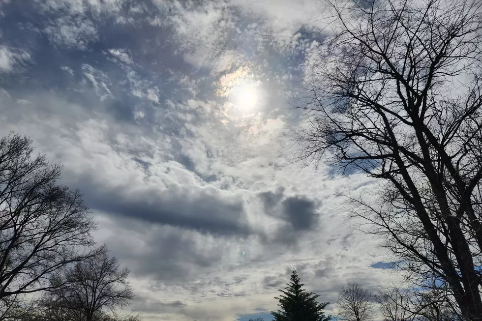
Saturday's forecast still looks fantastic, with partly sunny skies. Even though models have been sliding back the temperature forecast, a high near 50 degrees will be quite nice for a mid-winter's day. It will be a bit breezy at times, out of the southwest up to 20 mph. (We can't complain too much about the occasionally brisk wind — it's fueling our warmup, after all.)
By Sunday morning, skies will be mostly cloudy or even overcast across New Jersey. That change will be enough to keep daytime temperatures a few degrees cooler, averaging upper 40s. It's still above normal and, on the whole, still pretty pleasant.
The NAM model paints a few showers and sprinkles over the state on Sunday. I've opted to ignore those raindrops in my forecast, as there won't be a major forcing to produce anything resembling significant rainfall.
On Monday, skies will remain cloudy and winds will shift from southwesterly to southeasterly. That will keep coastal areas cooler than the rest of the state, in the mid to upper 40s. Further inland, we may spike into the lower 50s once again.
Our next weather-maker arrives early Tuesday morning, with a round of rain forecast between about 4 a.m. and 10 a.m. Models suggest anywhere between a half-inch (south) and an inch (north) will be possible. That's healthy rain that will particularly benefit the 39% of New Jersey currently classified as abnormally dry.
Behind the rain, we'll see clearing skies and cooling temperatures Tuesday afternoon. The inevitable ensuing blast of cold air won't be all that ferocious. High temps are expected to drop only slightly below-normal (30s) for Wednesday and Thursday.
Have a great weekend!
More From New Jersey 101.5 FM


