
NJ beach weather and waves: Jersey Shore Report for Sat 9/2
Advisories
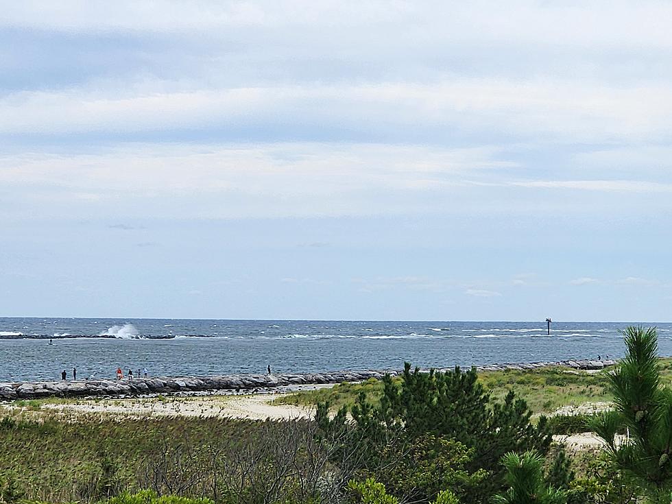
--A High Risk of dangerous rip currents and rough surf continues along the Jersey Shore this weekend. Pay attention to all posted signs, flags, and lifeguard instructions. And never swim alone on an unguarded beach.
At the Shore
Current conditions and forecast as of Sat morning
| Rip Current Risk | High |
|---|---|
| Waves | 2 - 4 feet |
| Winds | From the Southwest 9 - 16 mph (Gust 22 mph) 8 - 14 knots (Gust 19 knots) |
| Ocean Temperature | 72° - 75° (Normal 72° - 76°) |
| Air Temperature | 72° - 80° |
| Sunrise/Sunset | 6:24am - 7:29pm |
| UV Index | 7 (High) |
Tide Times
| SANDY HOOK Sandy Hook Bay | High Sat 10:16a | Low Sat 4:37p | High Sat 10:37p | Low Sun 4:54a | |
| LONG BRANCH Atlantic Ocean | High Sat 9:50a | Low Sat 4:01p | High Sat 10:11p | Low Sun 4:18a | |
| MANASQUAN INLET Atlantic Ocean | High Sat 10:04a | Low Sat 4:13p | High Sat 10:25p | Low Sun 4:30a | |
| SEASIDE HEIGHTS Atlantic Ocean | High Sat 9:46a | Low Sat 4:05p | High Sat 10:07p | Low Sun 4:22a | |
| SEASIDE PARK Barnegat Bay | Low Sat 8:15a | High Sat 1:56p | Low Sat 8:42p | High Sun 2:17a | |
| BARNEGAT INLET Barnegat Bay | High Sat 10:07a | Low Sat 4:33p | High Sat 10:29p | Low Sun 4:53a | |
| MANAHAWKIN BRIDGE Manahawkin Bay | Low Sat 7:49a | High Sat 1:03p | Low Sat 8:16p | High Sun 1:24a | |
| LITTLE EGG INLET Great Bay | High Sat 11:05a | Low Sat 5:06p | High Sat 11:23p | Low Sun 5:28a | |
| ATLANTIC CITY Atlantic Ocean | High Sat 9:52a | Low Sat 4:03p | High Sat 10:15p | Low Sun 4:24a | |
| OCEAN DRIVE BRIDGE Townsends Inlet | High Sat 10:25a | Low Sat 4:28p | High Sat 10:49p | Low Sun 4:50a | |
| WILDWOOD CREST Atlantic Ocean | High Sat 10:00a | Low Sat 4:08p | High Sat 10:22p | Low Sun 4:30a | |
| CAPE MAY Delaware Bay | High Sat 11:01a | Low Sat 5:05p | High Sat 11:25p | Low Sun 5:27a |
Marine Forecast
From the National Weather Service, Mt. Holly
TODAY: W winds around 5 kt, becoming S early this afternoon, then increasing to 10 to 15 kt late. Seas 3 to 4 ft. E swell 3 to 4 ft at 8 seconds.
TONIGHT: SW winds 10 to 15 kt. Seas 3 to 4 ft. E swell 2 to 4 ft at 8 seconds.
SUN: SW winds 5 to 10 kt. Seas around 3 ft. E swell 2 to 4 ft at 8 seconds.
SUN NIGHT: SW winds 5 to 10 kt, becoming W after midnight. Seas 3 to 4 ft. E swell 2 to 4 ft at 8 seconds.
MON: NW winds around 5 kt, becoming S around 5 kt in the afternoon. Seas 2 to 3 ft. E swell 2 to 3 ft at 8 seconds.
MON NIGHT: SW winds around 5 kt. Seas 2 to 3 ft. E swell 2 to 3 ft at 7 seconds.
TUE: NE winds around 5 kt, becoming E in the afternoon, then becoming SE in the evening, becoming W after midnight. Seas 2 to 3 ft.
WED: N winds around 5 kt, becoming S in the afternoon and evening, then becoming SW after midnight. Seas around 3 ft.
Plan Your Trip
Data on this page amalgamated from several sources, including the National Weather Service (weather), National Ocean Service (tides), U.S. Naval Observatory (sun), and the U.S. Environmental Protection Agency (UV index).
Dan Zarrow is Chief Meteorologist for Townsquare Media New Jersey. The Shore Report is generated semi-automatically daily at 5 a.m. from mid-May to late September. Follow Dan's weather blog, Facebook page, and Twitter feed for your latest forecast and realtime weather updates.
Fuhgeddaboudit! Great Jersey names for a hurricane
Gallery Credit: Steve Trevelise
How to start your first garden
Gallery Credit: Judi Franco
Inside Island Waterpark coming soon to Atlantic City
Gallery Credit: Joe Votruba
More From New Jersey 101.5 FM


