Monday NJ weather: Storm chances go down, temperatures stay steamy
The Bottom Line
The weatherman is back in action! And what do you know, the summery forecast continues.
We are now entering the "dog days of summer" — on average, late July is the hottest part of the entire year in New Jersey. Normal high temperatures are as high as they'll go, in the mid to upper 80s.
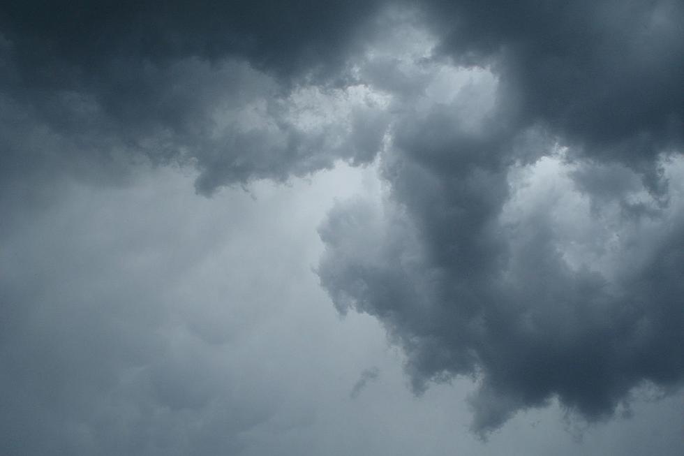
After some dramatic and even catastrophic storms this weekend, it is good to see the "atmospheric river" — a stream of incredibly rich moisture — has shifted off-shore. That means NJ's weather will dry out a bit this week. However, it will stay hot and pretty humid. (Hopefully not as "tropical" as it has been.)
The ground is super-saturated. So a popup storm producing heavy rain in the wrong spot could have some serious consequences. Although the threat for rain is low on Monday, New Jersey's chance for thunderstorms is almost never zero in the summertime. So we are always watching the sky.
Meanwhile, temperatures this week show a gentle cooling trend. The tropics remain dormant. And next weekend has the potential to be dropdead gorgeous.

Monday
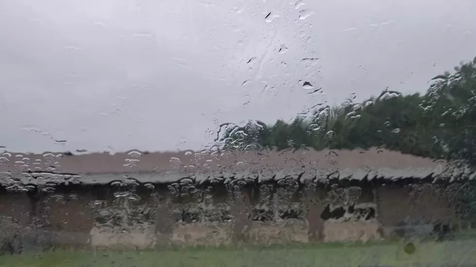
Compared to Sunday's stormy, soggy mess, Monday's weather will be considerably brighter, drier and warmer.
We are starting the day with some soupy air. And some pea soup fog. Visibilities have dipped as low as a quarter-mile in spots to start the day. That is enough to slow you down a bit. We have a Dense Fog Advisory in effect for most of NJ until 11 a.m. But I think we will see visibility improve dramatically before that expiration time, likely in the 8 a.m. to 10 a.m. time frame.
And then we'll enjoy mostly sunny skies through Monday afternoon. It is going to be seasonably hot, as inland high temperatures reach for 90 degrees. NW NJ and the Jersey Shore will be cooler, closer to the 80-degree mark. Humidity levels are still high, with dew points in the 70s. (Hopefully scaling back into the 60s as the air becomes less "tropical" Monday night.)
The chance of a shower or thunderstorm is not zero — I could see a little popup forming along the sea breeze front Monday afternoon. But most of New Jersey will remain umbrella-free to start the new workweek.
Guess what also returns on Monday? Canadian wildfire smoke. As of this writing, New Jersey has not issued an Air Quality Alert. (Pennsylvania and New York have.) Minor air quality concerns are possible from those fine particulates. More likely, it will add some extra haze to the sky on this hot, humid, summer day.
Monday night's weather will stay quiet, with a few clouds. It will be sticky, as lows only descend into the lower 70s.
Tuesday
Tuesday's forecast brings the return of spotty thunderstorms. We're talking hit-or-miss stuff. Not an all-day washout kind of thing — do not cancel your plans. Best chance of rain will be in the afternoon, to the north and east.
Otherwise, expect a partly sunny day with high temperatures averaging upper 80s.
Wednesday
Another "mainly dry" day. The only exception would be a late-day shower brushing along the southern edge of the state.
Otherwise, same story different day. Sun and clouds, with highs around 85 to 90 degrees.
Thursday & Friday
I have to lump these two days together, because the timing of our next round of storms is a bit nebulous. Sometime between late Thursday and early Friday, we will probably see a widespread batch of rain and thunderstorms slide through New Jersey. There will be the potential for some strong embedded storm cells and localized downpours. As I mentioned above, that could result in some ponding and flooding concerns.
No surprise to temperatures for Thursday and Friday. As long as the sun comes out at some point, we'll see highs in the seasonable mid to upper 80s both days.
The Extended Forecast
I like what I see in the long-range forecast for next weekend. Although it's a little too early to go full bore on that good news.
High temperatures in the lower 80s? Dew points dropping into the comfortable 50s? A minimal chance of thunderstorms? Plenty of sunshine? Summer weekend dreams are made of those. And I would really love to see this forecast hold firm.
We will see how things evolve as the week presses on.
Booziest spots: NJ towns with the most bars per square mile
Dan Zarrow is Chief Meteorologist for Townsquare Media New Jersey. Follow him on Facebook or Twitter for the latest forecast and realtime weather updates.
These towns actually cut their property taxes in 2022
More From New Jersey 101.5 FM