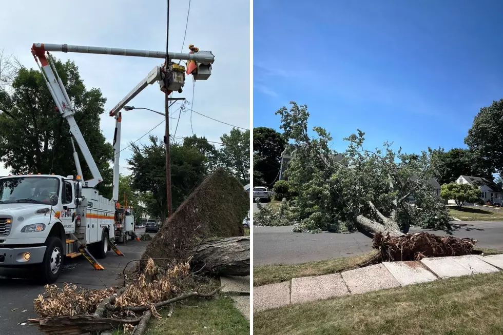
It was a chilly November in NJ, but put the record books away
November has been one of the cooler months in recent years. Only March, since then, has been below average for that time of year.
Dave Robinson, state climatologist at Rutgers University said he was looking through some records, and November 2019 has challenged March 2014 as the last time the state had temperatures so far below the monthly average.
November was somewhere between five and six degrees below average, said Robinson. That's not a record, but he said it may be in the top 15 coldest Novembers, going back over 100 years.
Yet September and October ranked as the ninth-warmest of either such month going back to 1895, said Robinson — there was a major pattern shift in circulation across the Northern Hemisphere. He also said it was very strange. Almost at the stroke of midnight from Halloween into Nov. 1, the jet stream was riding much to the north, keeping the cold air up to the north and allowing a lot of that cold air into the western United States in October..
The jet stream dipped quite often to the south through the month of November, and that has allowed the access to colder, polar air coming into our region, Robinson said.
In New Brunswick, the afternoon of Oct. 2 was 95 degrees — the warmest Oct. 2 on record for so late in the summer season, said Robinson. Just five weeks later, on Nov. 8, it was 19 degrees in New Brunswick. He said that was the coldest on record for so early in the winter season.
He said in November, the northwestern part of the state was coldest, relative to normal. It took until Nov. 8th to drop below freezing across the state.
As far as precipitation is concerned, Robinson said November was a dry month. Again, the state is in a seesaw pattern, as he called it. September was very dry. October was wetter than average and November was below average.
Most of the state finished with 1.5 to 3 inches of rain for November. The average for the month is 3.6 inches. No part of the state except for a few scattered areas in the northwestern part reached an average value in November. Robinson said there were southern NJ areas under 1.5 inches of rain.
There's nothing to worry about for now, said Robinson. The state had a wet summer and a wet October.
"It's okay but we need to watch the reservoir levels as we make our way through the winter months," Robinson said.
Robinson predicts December, for the most part, will see temperatures returning to normal. He said he does not see anything that points to an extreme that the state has seen in the last two months.
Robinson said he'd be surprised if temperatures leaned heavily either in the very warm or very cold direction as December rolls on through. He also sees the rest of the winter being more on the milder than normal side.
"Even so, a warmer than normal winter can still mean snow," Townsquare Media's Chief Meteorologist, Dan Zarrow said.
More from New Jersey 101.5:
More From New Jersey 101.5 FM