Win for transparency: You’ll see NJ legislative maps before vote
TRENTON – For the first time, New Jerseyans will have the chance to see and comment on proposed redistricting maps before the boundaries of the 40 legislative districts – and the inside track for control of the Legislature – are set for the next decade.
Retired judge Philip Carchman, the court-appointed 11th member of the Apportionment Commission, said Wednesday that “one dominant theme” in the testimony at the public hearings has been that maps should be available for public comment.
Carchman said he had suggested posting proposed maps on the Apportionment Commission website one week before the final vote to certify a map and that one public hearing be scheduled after they were published. He said the members of the commission, five Democrats and five Republicans, agreed.
“Two maps will be posted on Feb. 7 for public comment,” Carchman said. “I have requested and the parties have agreed that neither map be labeled as a Democratic map or a Republican map. I do so because I do not want the maps to contain partisan labels, and I want to eliminate any bias that may be attached with a partisan designation.”
In addition to a virtual hearing Saturday at 10 a.m., the commission has scheduled an in-person meeting Wednesday, Feb. 9 at 6 p.m. The location has not yet been announced, but the in-person meetings that were held earlier were in Atlantic City and Ewing, so a North Jersey location would appear likely.
“I add a cautionary note,” Carchman said. “As I advised the parties, I do not expect these maps to be the final maps but hope that these maps will prompt public comment, recommended changes and discussion which will prove helpful in making appropriate adjustments to move us forward to a final map to be adopted by the commission.”
A coalition of progressive groups calling itself the Fair Districts NJ coalition submitted its own proposed statewide map at the commission’s meeting Wednesday. Maps – whether for the whole state or just a section – can be submitted by the public through the commission’s website.
Philip Hensley, the democracy policy analyst for the League of Women Voters of New Jersey, said the Fair Districts map was the result of extensive outreach and community mapping sessions that resulted in over 50 community-interest maps submitted along with the statewide proposal.
Hensley said the map reflects the state’s growing diversity, with 48% of the population counted in the 2020 Census being non-white. The Hispanic population grew by 29% and the Asian population grew 44% in the last decade, he said.
“We know that due to systemic census undercounts, New Jersey’s communities of color are in reality an even larger share of the population than 48%, likely 50% or more,” Hensley said. “So accordingly, this map creates 20 majority people of color districts out of 40, which is five more than the current map.”
The map splits Newark into three districts – something that used to happen but doesn't under the current map. An appeals court 20 years had ruled the practice violates the state constitution, but the state Supreme Court in 2003 overturned that decision.
The panel heard other testimony Wednesday, as well, including pleas to keep New Brunswick, Piscataway and Franklin together in a single district and to move Morris Plains into a district with the other Morrises – Morris Township and Morristown.
Tim Howes, the Somerset County GOP chairman, urged the commission to minimize the number of times a county is split into multiple districts. His county has around 345,000 residents, which could fit into two districts, theoretically – but was split into six districts for the past decade.
He said the state constitution requires that districts are split as minimally as possible but “that was seemingly thrown in the garbage” in the 2011 redistricting cycle.
“We are represented by 18 wonderful legislators,” Howes said. “I love most of them, like some of them. One or two of them I could do without.”

Howes said there are now no Somerset County residents in the Senate, after this month’s retirement of Sen. Kip Bateman.
“The current map splits up a community of interest; the burgeoning South Asian population on the north end of the county is in three different districts,” Howes said. “The Somerset Hills school district, home to 19,000 people, is only a Group 2 school, is in three districts. We have nine legislators representing one of the smallest high schools in the state.”
Michael Symons is State House bureau chief for New Jersey 101.5. Contact him at michael.symons@townsquaremedia.com.
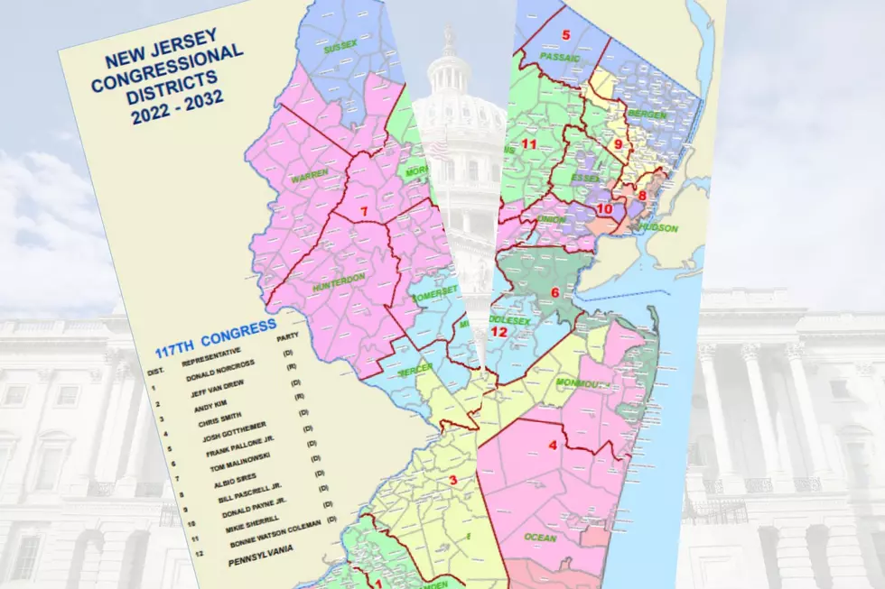
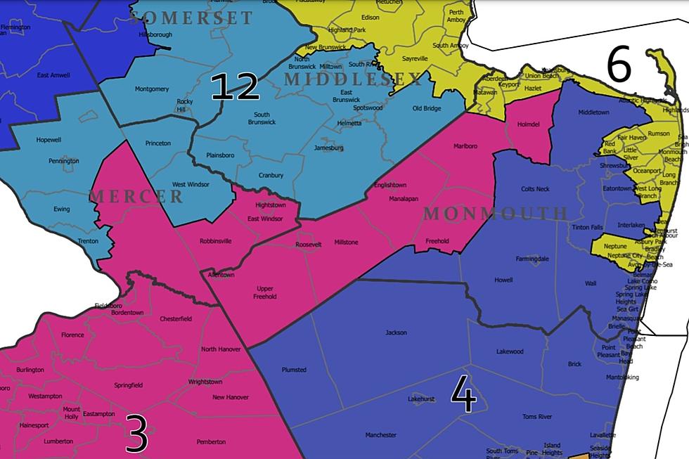
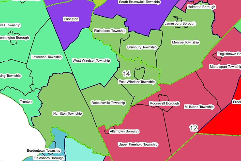
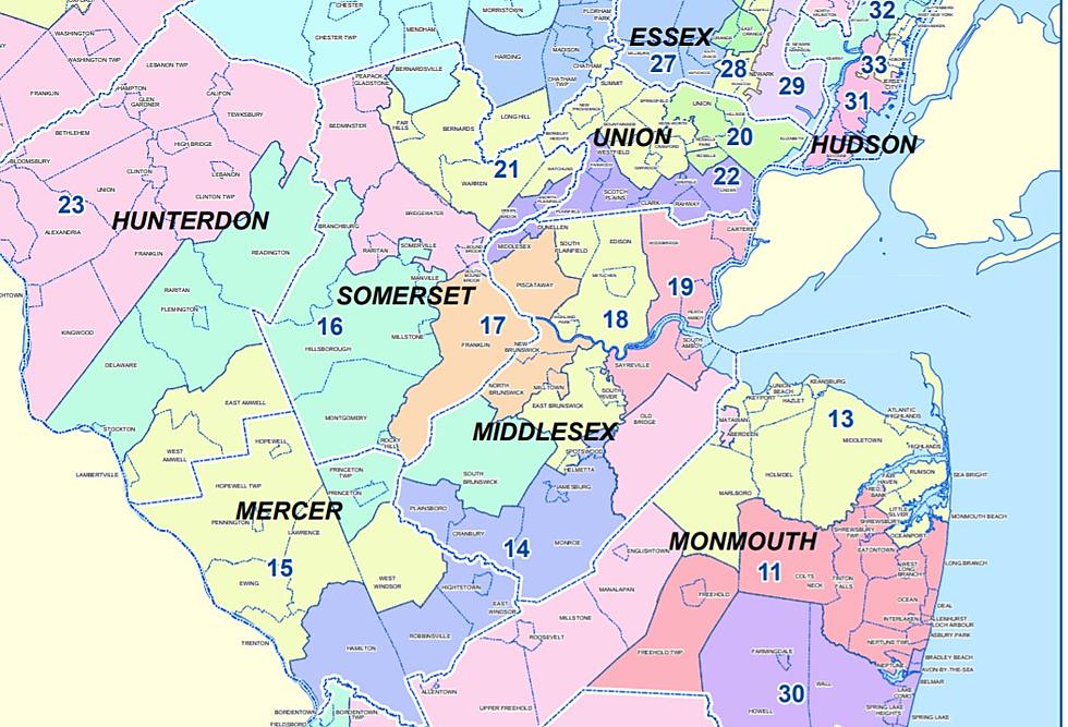
New Jersey's new congressional districts for the 2020s
Gallery Credit: Michael Symons
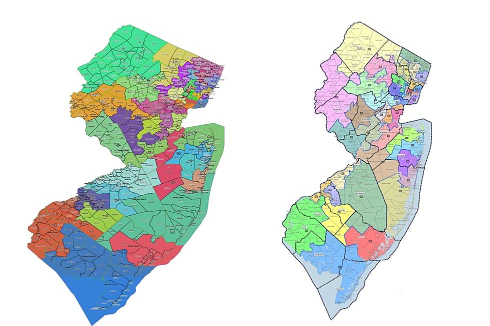
Where NJ's 'red wave' of the 2021 election was reddest
Gallery Credit: Michael Symons
More From New Jersey 101.5 FM