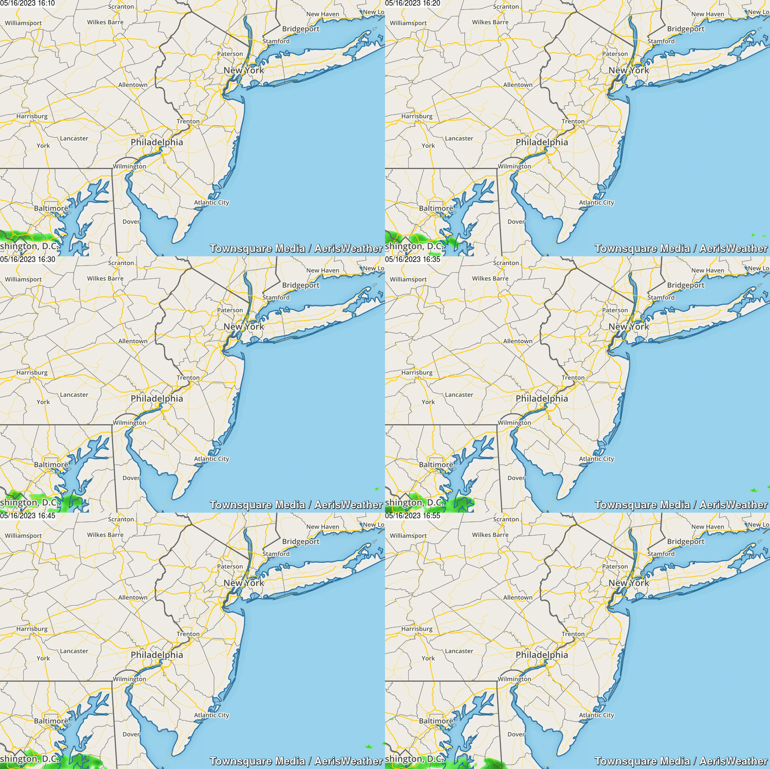
Severe T-Storm Watch, Flash Flood Watch for NJ through Thursday evening
For the third day in a row, strong thunderstorms are aiming for New Jersey. True, the severe weather risk is lower this time around, compared to Tuesday and Wednesday. (No Tornado Watch this time.) But these storms may still bring a nasty mix of heavy rain, flooding, and gusty winds to the Garden State, significantly impacting your evening commute.
A Severe Thunderstorm Watch has been posted until 9 p.m. for 10 counties in western and southern New Jersey: Atlantic, Burlington, Camden, Cape May, Cumberland, Gloucester, Hunterdon, Mercer, Salem, and Warren. Remember: a "watch" is just a formal heads-up that dangerous weather (wind, hail, tornado) may occur. No severe storms are imminent (as of this writing), and there's no guarantee that you see a thunderstorm.
Our greatest "severe weather" threat of the evening will be 60+ mph damaging winds. Some hail and an isolated tornado can't be ruled out, but that threat is limited.
The geography of this Severe T-Storm Watch matches up well with the warm sector of the state, as temperatures have spiked into the 70s and 80s away from the coast. Storms should fizzle quickly as they hit the cooler marine-influenced air along the Jersey Shore. (If not, you may find watches and warnings extended farther east as the evening progresses.)
In addition, a Flash Flood Watch has been issued until 10 p.m. for 18 counties in New Jersey — all but Atlantic, Cape May, and Cumberland. Once again, 1 to 2+ inches of heavy rain may cause flooding of roadways and low-lying areas. If the downpours are torrential (and I suspect they will), such big puddles may appear very quickly — especially since our ground is still saturated from the last round of storms.
Never attempt to drive, walk, or swim through flooded areas. You have no idea how deep that water is, and might get stuck or imperiled.
So what do you do now? No need to cower in the basement just yet. Stay "weather aware" this afternoon and this evening — keep an eye on the sky, be alert to changing conditions, have a way to receive weather warnings as they are issued, and be ready to adjust your plans if needed.
I'm happy to say this is the grand finale of this stormy week. The forecast for Friday still looks sunny, breezy, warm, and (most importantly) dry!
Be smart and stay safe out there.
Dan Zarrow is Chief Meteorologist for Townsquare Media New Jersey. Follow him on Facebook or Twitter for the latest forecast and realtime weather updates.
More From New Jersey 101.5 FM


