Ride the seesaw, NJ: Nice and stormy weather alternate this week
The Bottom Line
Monday's rain was truly a best case scenario. Much of New Jersey got a drenching, while avoiding the woes of severe weather and/or flooding. Rainfall totals ended up between a quarter-inch and just over an inch.
That desperately-needed rain does not completely erase our wildfire danger and drought concerns. But hopefully this marks a change to a more typical June weather pattern, with occasional bouts of rain and thunderstorms.
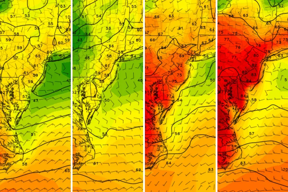
The rest of this week certainly reads like a typical mid-June week. We will oscillate between beautiful, bright, warm, dry days (Tuesday and Thursday) and periods of unsettled, stormy weather (Wednesday and Friday).

Tuesday
Overall, a pleasant day with seasonable temperatures from start to finish.
You may encounter some puddles, patchy fog, and/or low-hanging clouds early on Tuesday. Then mostly sunny and dry, with falling humidity throughout.
Tuesday morning will be breezy, with an occasional gust over 20 mph. The afternoon looks really good, with highs close to 80 degrees. Jersey Shore beaches should be well into the 70s, thanks to a continuing land breeze. (Flies might be an issue for you at the beach.)
Quiet weather will continue into Tuesday night. I'll call it "mainly clear," although clouds will probably start to increase before daybreak. Low temperatures will once again dip to around 60 degrees.
Wednesday
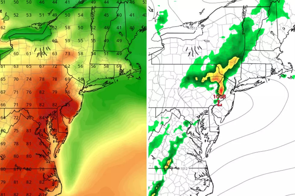
With another storm system arriving from the west, New Jersey's weather turns unsettled again on Wednesday. This time around, things turn stormy right in the middle of the day.
At the moment, I'll say most of Wednesday morning looks OK. And the evening hours will turn dry. Best chance for scattered showers and thunderstorms on Wednesday will be from about 11 a.m. to 7 p.m. The epicenter for wet weather in NJ will be in the afternoon.
There could be some rumbles of thunder and pockets of heavy rain. But once again, severe weather is not a huge concern. Total rainfall will probably end up around a quarter-inch.
Because of the rain and mostly cloudy skies, Wednesday's temperatures will turn somewhat cool. We should still see mid 70s for highs.
Thursday
We will settle into another nice slice of the atmosphere on Thursday.
The day looks completely dry across the entire state. Skies will be partly sunny. And high will once again make a run for about 80 degrees.
Friday
Another piece of energy pushes in on Friday, leading to another round of rain. Friday's thunderstorms could be a bit more impactful, as model guidance ramps up the chance of downpours and some stronger storm cells. I'd estimate total rainfall will will end up closer to a half-inch this time around.
While Friday's thunderstorm chance will last throughout the daytime hours, they will be spotty. It's a hit-or-miss situation, not an all-day washout.
Highs will come down slightly, to around 75 to 80 degrees. That depends wholly on cloud cover and rain coverage.
The Weekend & Beyond
The final weekend of Spring is also the Father's Day Weekend. And things are still looking somewhat unsettled. Saturday is probably the better day for a few showers, especially in northern New Jersey. While we won't have bright blue, perfectly sunny skies, it will be pleasant enough as long as it's not raining. Highs will end up in the 70s or so.
Next week is an important week for the New Jersey weather forecast, given the hundreds of graduation, promotion, and moving up ceremonies that will take place. It is always a tricky time of year, with occasional thunderstorms putting a damper on those festivities. There is another rain chance popping up in models for Monday-Tuesday. But we will further refine that outlook as next week gets closer.
LOOK: The best minigolf in every state
Dan Zarrow is Chief Meteorologist for Townsquare Media New Jersey. Follow him on Facebook or Twitter for the latest forecast and realtime weather updates.
LOOK: States with the most drive-in movie theaters
More From New Jersey 101.5 FM
