

NJ weather: A few days of quiet conditions, warming temperatures
The Bottom Line
This weekend's weather ranged from tornadic to terrific. The National Weather Service has confirmed four tornadoes in New Jersey so far on Saturday: in Cinnaminson (rated EF-1), Jackson, Howell, and Sea Girt. Additional surveys and analysis will be done today, and we'll pass along any determinations and ratings as they are published.

Now we settle into a quiet weather pattern, as temperatures across most of New Jersey warm into the 60s and 70s. Our next batch of unsettled weather will arrive Wednesday into Thursday. And Thursday in particular could bring our next batch of stormy weather.
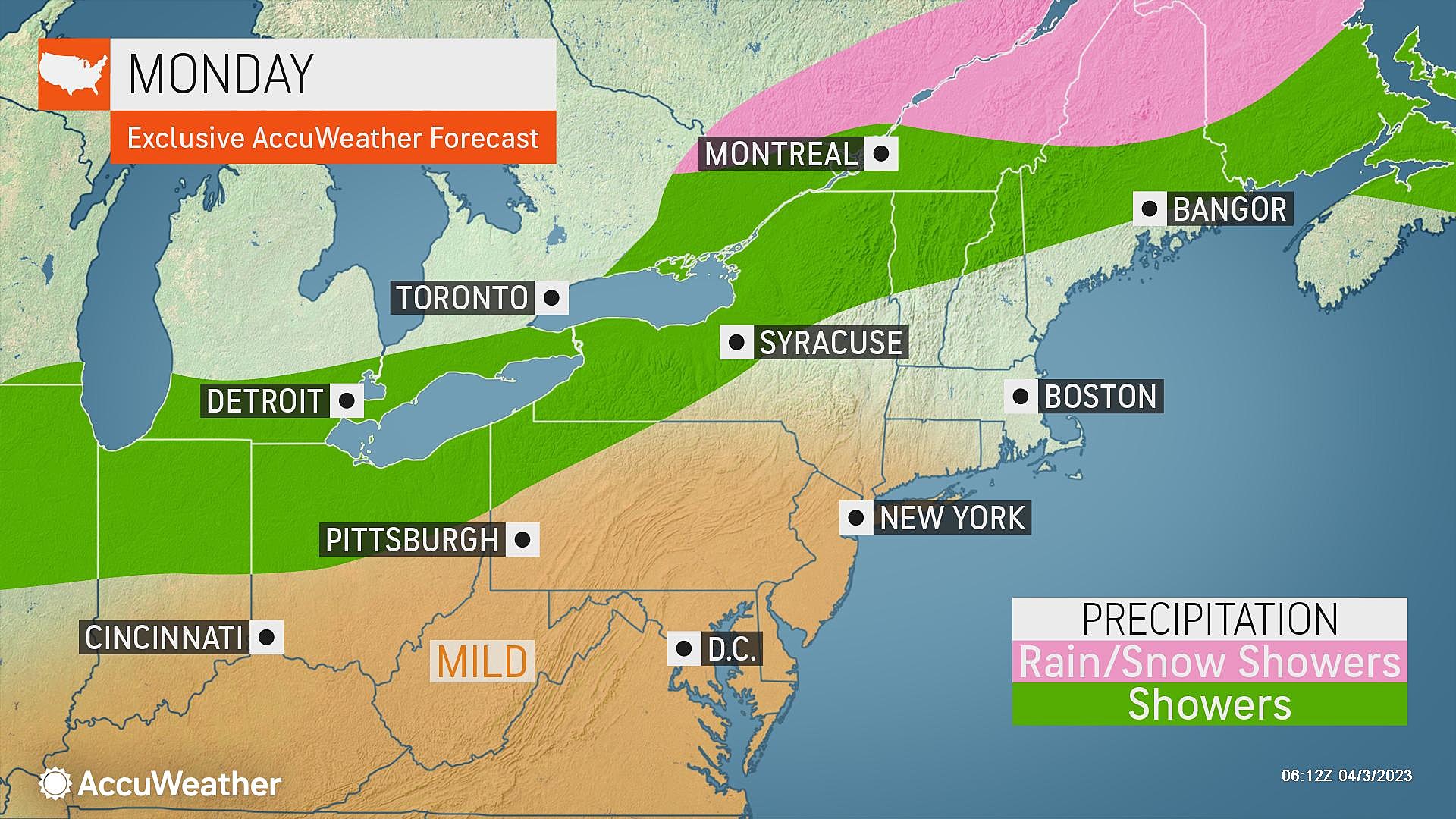
Monday
The first workweek of April is starting off quite cold. Temperatures are in the 20s across most of the state. Thermometers are closer to 40 degrees around the edges, in urban and coastal areas.
There are Freeze Warnings and Frost Advisories posted for much of New Jersey through 9 a.m. But that's more of a technicality than anything else. The growing season hasn't really started yet. And it shouldn't be too surprising that temperatures are this cold.
Having said that, this will be the last widespread frost/freeze for a while. (Not necessarily for the entire season though.) Warmer air will filter back into New Jersey this week, pushing both daytime highs and nighttime lows higher.
We will max out around the lower 60s across most of the state Monday afternoon. Along the Jersey Shore, however, the influence of the 48-degree ocean can not be ignored. Coastal communities will be stuck in the cooler 50s.
We'll see good sunshine from morning through midday, before some fair weather clouds come into play. It will be breezy at times too.
Monday night looks quite nice. With a few clouds overhead, temperatures will stay well above freezing. Look for lows in the upper 40s.
Tuesday
Even warmer. And potentially, even nicer.
Skies will be partly sunny — still nice and bright, with some classic puffy clouds joining golden sunshine overhead. Winds will be light — although blowing off the ocean, keeping the Shore cooler again.
High temperatures will range from lower 60s (north and coast) to lower 70s (inland central and south). Keep in mind, normal highs for early April are in the 50s. We're not breaking records here, but this is unseasonable warmth.
Once again, Tuesday night won't be cold. Lows may not drop below 50 degrees.
Wednesday
Wednesday gets a little tricky. And a little bit unsettled. But there's still a lot to like. And plenty of time for springtime outdoor activities.

Clouds will thicken up Wednesday. And the bubble of warm air retreats a bit. That will put northern and coastal New Jersey closer to 60 degrees again. Southwestern NJ will probably still hit lower 70s.
A few rain showers may dampen part of New Jersey late-day Wednesday. (That's late afternoon and evening.) But they look widely scattered and limited in time — most of the state and most of the day will stay dry.
Thursday
Concerns for strong thunderstorms return on Thursday, as warmth surges, humidity increases, and a cold front approaches.
With a mix of clouds and sun, high temperatures on Thursday will push into the lower 70s for the majority of the state. A stiff southwesterly breeze means even Shore towns will have a shot at 70+ degrees.
However, starting Thursday afternoon, we will have to watch the western sky for a round of scattered thunderstorms. Given the warmth and rising dew points, yes there is a chance for severe weather. For now, we'll just watch this developing situation. And if you have outdoor plans Thursday afternoon or evening, you should too.
Friday & Beyond
Cooler, quiet weather resumes on Friday. Seasonable high temperatures in the upper 50s to around 60 degrees with join a mix of clouds and mix. It may still be breezy in the morning, as our new air mass fully settles in.
The rest of the Easter holiday weekend is trending dry too. 60s with bright skies for both Saturday and Sunday? Sounds good to me.

Next week is trending warm. Long-range models suggest our first shot at 80s may be on the way by next next weekend. Of course, warmth and humidity also brings more showers and thunderstorms too. 'Tis the season.
Dan Zarrow is Chief Meteorologist for Townsquare Media New Jersey. Follow him on Facebook or Twitter for the latest forecast and realtime weather updates.
NJ street fairs return for the 2023 fall season
Gallery Credit: Mike Brant
The best-selling Easter candies in America - Ranked
Gallery Credit: Mike Brant
More From New Jersey 101.5 FM


