NJ beach weather and waves: Jersey Shore Report for Sun 9/24
Advisories
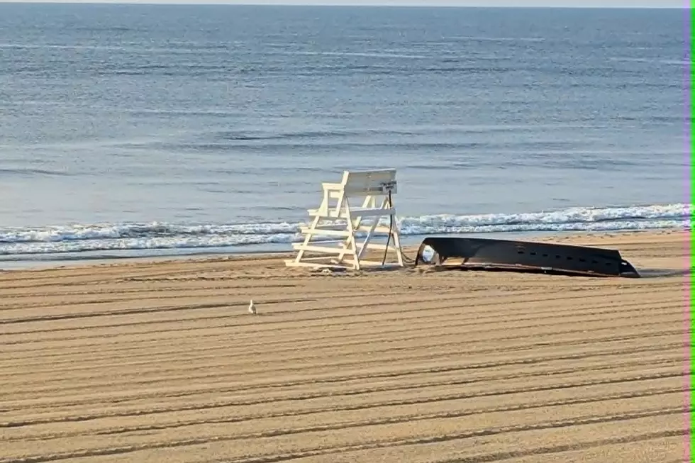
--A High Surf Advisory cautions of a high risk of dangerous rip currents and rough surf Sunday, as the remnants of Ophelia continue to churn up the ocean.
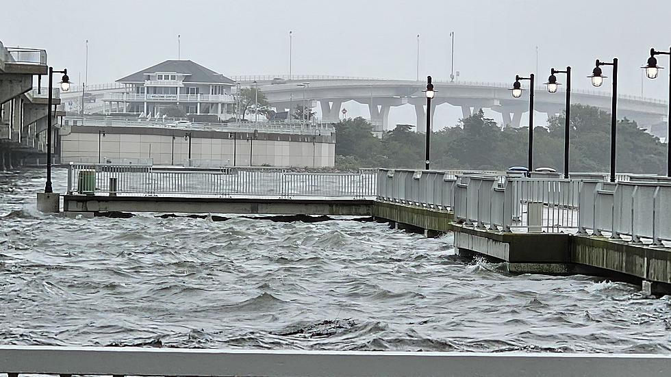
--A Coastal Flood Advisory continues for tidal waterways, with minor flooding expected at high tide.
--A Gale Warning is effect for waters off the Jersey Shore, calling for winds up to 35 knots (40 mph).
At the Shore
Current conditions and forecast as of Sun morning
| Rip Current Risk | High |
|---|---|
| Waves | 4 - 10 feet |
| Winds | From the East 14 - 26 mph (Gust 38 mph) 12 - 23 knots (Gust 33 knots) |
| Ocean Temperature | 67° - 70° (Normal 67° - 72°) |
| Air Temperature | 66° - 70° |
| Sunrise/Sunset | 6:45am - 6:54pm |
| UV Index | 1 (Low) |
Tide Times
| SANDY HOOK Sandy Hook Bay | Low Sun 9:41a | High Sun 3:49p | Low Sun 10:45p | High Mon 4:29a | |
| LONG BRANCH Atlantic Ocean | Low Sun 9:05a | High Sun 3:23p | Low Sun 10:09p | High Mon 4:03a | |
| MANASQUAN INLET Atlantic Ocean | Low Sun 9:17a | High Sun 3:37p | Low Sun 10:21p | High Mon 4:17a | |
| SEASIDE HEIGHTS Atlantic Ocean | Low Sun 9:09a | High Sun 3:19p | Low Sun 10:13p | High Mon 3:59a | |
| SEASIDE PARK Barnegat Bay | High Sun 6:58a | Low Sun 1:46p | High Sun 7:29p | Low Mon 2:50a | |
| BARNEGAT INLET Barnegat Bay | Low Sun 9:33a | High Sun 3:48p | Low Sun 10:41p | High Mon 4:28a | |
| MANAHAWKIN BRIDGE Manahawkin Bay | High Sun 6:05a | Low Sun 1:20p | High Sun 6:36p | Low Mon 2:24a | |
| LITTLE EGG INLET Great Bay | Low Sun 10:02a | High Sun 4:50p | Low Sun 11:17p | High Mon 5:24a | |
| ATLANTIC CITY Atlantic Ocean | Low Sun 8:57a | High Sun 3:37p | Low Sun 10:17p | High Mon 4:18a | |
| OCEAN DRIVE BRIDGE Townsends Inlet | Low Sun 9:17a | High Sun 4:15p | Low Sun 10:40p | High Mon 4:38a | |
| WILDWOOD CREST Atlantic Ocean | Low Sun 9:07a | High Sun 3:48p | Low Sun 10:23p | High Mon 4:26a | |
| CAPE MAY Delaware Bay | Low Sun 10:01a | High Sun 4:43p | Low Sun 11:05p | High Mon 5:18a |
Marine Forecast
From the National Weather Service, Mt. Holly
GALE WARNING IN EFFECT UNTIL 6 AM EDT EARLY THIS MORNING
TODAY: E winds 20 to 25 kt, diminishing to 15 to 20 kt late. Gusts up to 35 kt. Seas 10 to 11 ft, subsiding to 8 to 10 ft this afternoon. E swell 2 to 7 ft at 4 seconds. Showers.
TONIGHT: E winds 15 to 20 kt, becoming NE 10 to 15 kt after midnight. Gusts up to 30 kt. Seas 6 to 8 ft. E swell up to 4 ft at 4 seconds. Showers.
MON: NE winds 20 to 25 kt, increasing to 25 to 30 kt in the afternoon. Seas 6 to 7 ft, building to 7 to 10 ft in the afternoon. E swell 2 to 4 ft at 6 seconds. Showers likely.
MON NIGHT: NE winds 25 to 30 kt. Seas 8 to 11 ft. NE swell 2 to 5 ft at 6 seconds, increasing to 5 to 10 ft at 7 seconds after midnight. A chance of showers.
TUE: NE winds 25 to 30 kt, diminishing to 20 to 25 kt in the afternoon. Seas 9 to 11 ft. NE swell 7 to 11 ft at 7 seconds. A chance of showers.
TUE NIGHT: NE winds 15 to 20 kt with gusts up to 25 kt. Seas 7 to 10 ft. NE swell 6 to 10 ft at 8 seconds. A chance of showers in the evening.
WED: NE winds 15 to 20 kt, diminishing to 10 to 15 kt. Seas 6 to 9 ft, subsiding to 6 to 7 ft after midnight.
THU: NE winds 10 to 15 kt. Seas 5 to 7 ft.
Plan Your Trip
Data on this page amalgamated from several sources, including the National Weather Service (weather), National Ocean Service (tides), U.S. Naval Observatory (sun), and the U.S. Environmental Protection Agency (UV index).
Dan Zarrow is Chief Meteorologist for Townsquare Media New Jersey. The Shore Report is generated semi-automatically daily at 5 a.m. from mid-May to late September. Follow Dan's weather blog, Facebook page, and Twitter feed for your latest forecast and realtime weather updates.
What Is This Foam I Spotted On A Jersey Shore Beach
Gallery Credit: Nicole Murray
Stunning Jersey Shore rentals steps from the beach
Gallery Credit: Erin Vogt
33 Beach Umbrellas You've Seen At The Jersey Shore
Gallery Credit: Rich De Sisto
More From New Jersey 101.5 FM