More Thunderstorms For New Jersey On The Way
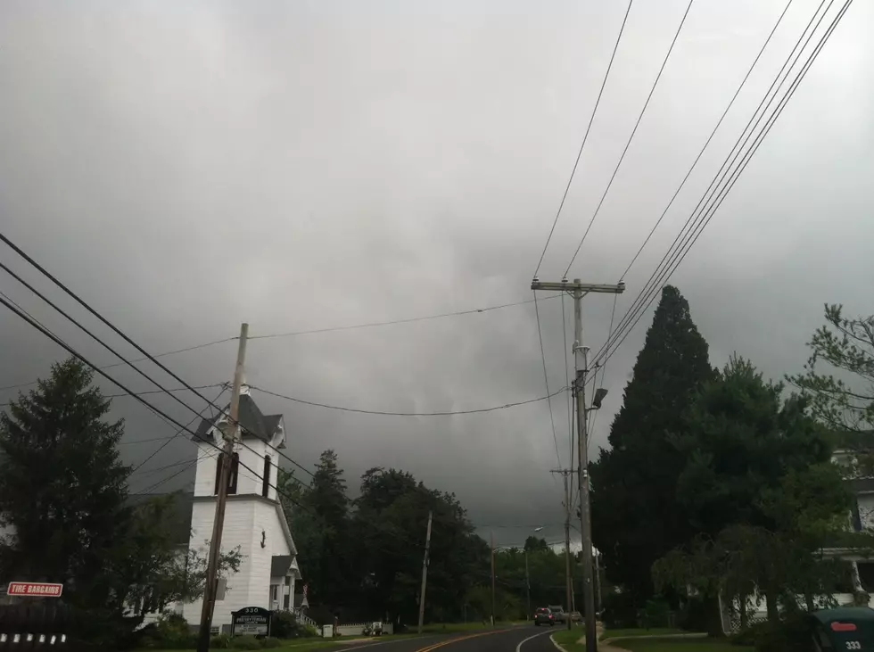
Another round of thunderstorms is expected to cross New Jersey this afternoon.

A Flood Advisory has been posted by the National Weather Service for counties along the Delaware River as a line of storms move in from Pennsylvania with heavy rain that could drop 2 inches of rain causing flooding in small streams, on roads and in poor drainage areas.
Cells of strong storms hit yesterday afternoon with heavy rain that caused flash floods & quarter-size hail in some places with winds blowing up to 60MPH.
Trees were knocked down in West Trenton across the tracks at the SEPTA station and a window shattered at Trenton-Mercer Airport according to NWS observers.
The storms knocked out power in PSE+G's service area according to their outage map with many outages in Trenton.
JCP+L restored power to nearly all of its customers who lost power on Thursday according to their outage map
Send us your storm pictures using the form below!


More From New Jersey 101.5 FM


![Grilling Gone Wrong – Top 5 BBQ Fails [NSFW- Language]](http://townsquare.media/site/385/files/2012/05/BBQ-Fail1.png?w=980&q=75)
![9/11/2001: On The Air [AUDIO]](http://townsquare.media/site/385/files/2012/02/1161079.jpg?w=980&q=75)