Monday NJ weather: Day 2 of 5 beautiful, sunny, dry, warm days
The Bottom Line
This might be the shortest weather blog post I have ever written. That is because we are in the middle of a beautiful stretch of weather. After such a soggy September, this is an awesome way to start October.
High pressure will remain in control of our atmosphere for most of this week. That will keep skies sunny, weather dry, winds light, and temperatures warm. Back to "shorts weather" for a few days.
There are some minor hiccups, especially as a more prominent on-shore breeze kicks in midweek. And we will be tracking a strong cold front at the end of the week, driving in rain and then a big cooldown over the weekend.

Monday
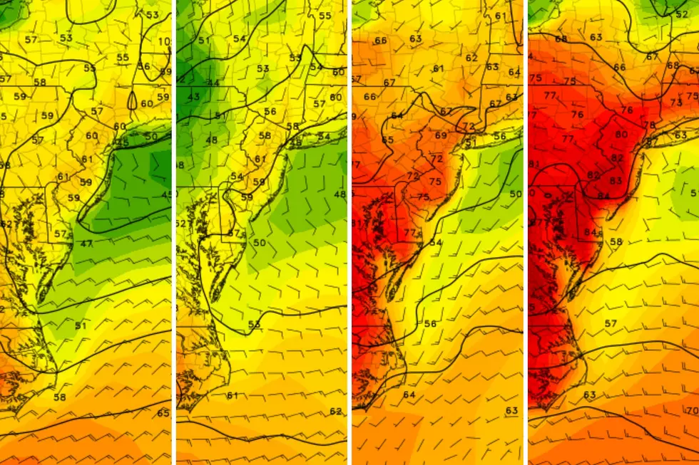
One theme this week will be comfortable — but not really chilly — mornings. (Thanks to a touch of humidity in the air.)
We are starting this Monday morning with some patchy fog, in the usual spots. And temperatures are mainly in the 50s. Coastal and urban areas are quite a bit warmer, in the 60s.
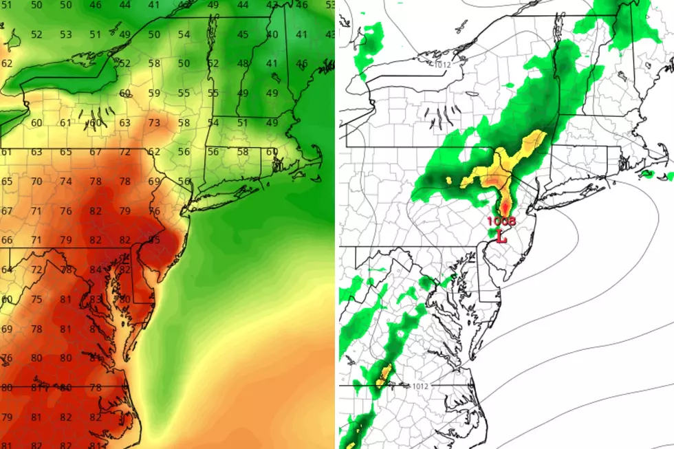
Just like Sunday, Monday will be mostly sunny, dry, and mild. Afternoon high temperatures will reach about 75 to 80 degrees. Not even close to the record high temperature for this date, but it is 5 to 10 degrees above normal for early October.
If you have been craving some lovely "Local Summer" weather to enjoy a late-season (well, after-season) beach day? Here you go. The rough surf and rip current risk has subsided a bit, but remains elevated. (We will keep the Jersey Shore Report running daily through Friday.)
There is a plume of smoke extending our way from wildfires over Quebec, Canada — that may produce some haze over North Jersey at times Monday, but it should not be too thick.
Monday night will be clear and comfortable, with low temperatures again mainly in the 50s.
Tuesday
Thanks to a southwesterly wind shift, temperatures on Tuesday will end up a few degrees warmer than on Monday. Look for highs around the 80-degree mark. Sunny skies, dry weather. Rinse, lather, repeat.
Wednesday
On Wednesday, the wind direction will shift to blow from the southeast. That is an on-shore breeze, which could cool temperatures right along the coast.
But for the vast majority of New Jersey, the pleasant, warm weather will continue. Wednesday will be mostly sunny and dry, with highs again near 80. (Wednesday could be the warmest day of the week for most locations.)
Thursday
On Thursday, that on-shore breeze becomes a bit more prominent. And clouds could start to roll in late-day. But we're staying dry and mild. High temperatures will only scale back a little bit, to the mid-upper 70s.
Friday & Beyond
All good things must come to an end, unfortunately. And this week's great weather will wrap-up on Friday, with changes afoot heading into the weekend.
At the very least, Friday will turn mostly cloudy. And therefore cooler, as high temperatures come down to the lower-mid 70s. There is a chance for a shower or sprinkle during the day, although isolated.
Eventually, a strong cold front will drive in up to an inch of rain and then a significant cooldown. The exact timing is up in the air at the moment. The GFS model is favoring wet weather from Friday evening to Saturday morning. The European model is later but more broken, with rounds of scattered showers and thunderstorms from Saturday morning through Saturday evening.
By Sunday, the sun will come out. And high temperatures will settle back into the 60s, below seasonal normals. If you're looking for a "fall feel" in the air for apple picking, corn maze hunting, and/or pumpkin spice latte sipping ... there you go.
Spirit Halloween is back! Here's every NJ location for 2023
Gallery Credit: Mike Brant
Dan Zarrow is Chief Meteorologist for Townsquare Media New Jersey. Follow him on Facebook for the latest forecast and realtime weather updates.
Unique fall facts about the Jersey Shore you probably didn't know
Gallery Credit: Mike Brant
More From New Jersey 101.5 FM


