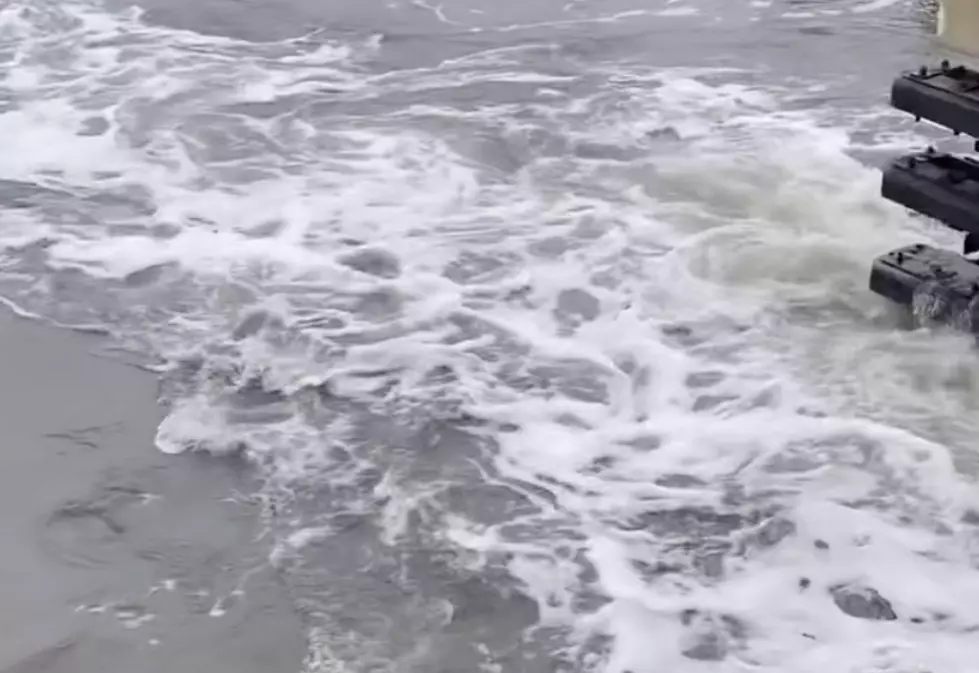
The nor’easter came in through the front door. It’s leaving through Fortescue.
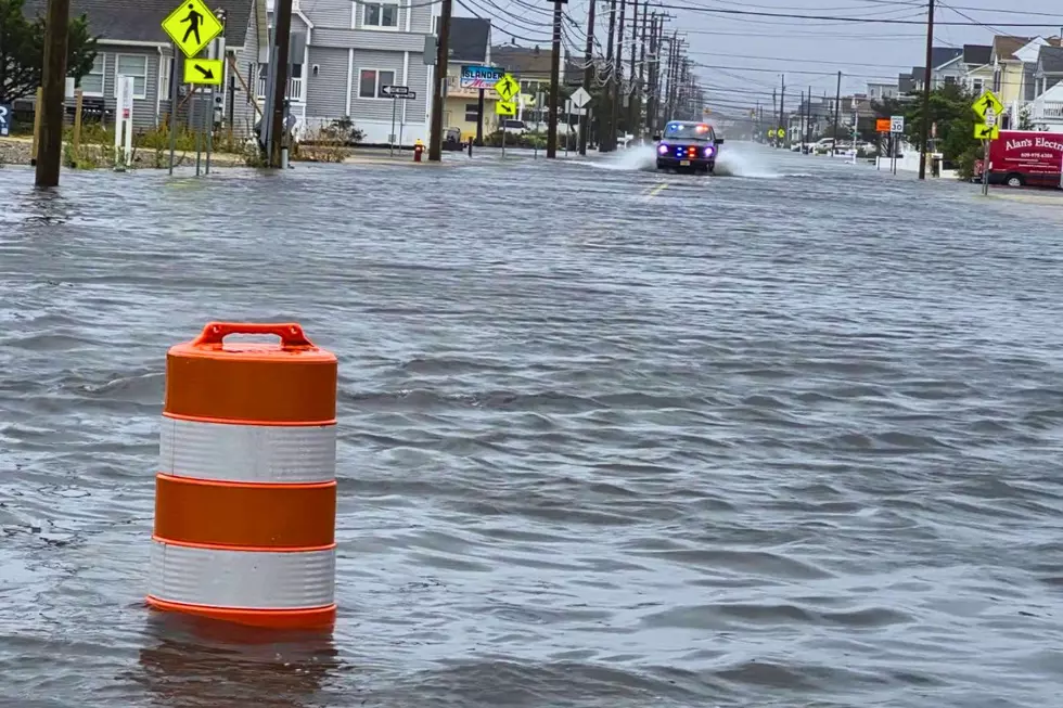
All weekend my phone has been nothing but flooded streets. Wildwood, mostly. Water up to the bumpers, people wading down the block, the usual storm pictures.
Then Sunday afternoon, a video from the Delaware Bay side stopped me.
It came from Higbee's Bait and Tackle in Fortescue, and it wasn't a flooded street. It was Fortescue Creek at 4 p.m., on the outgoing tide.
The creek looked like a river rapid.
What Higbee's saw
"One of the hardest running creeks in SJ," Cliff Higbee wrote with the video. "Many water rescues in this very spot over the years with a few boats lost." (Cliff also messaged me he follows our own Eric Scott. Thanks for watching and listening, Cliff!)
He added that the dive team trains members in that exact spot, because you have to be able to make rescues in the worst water you have.
One commenter summed it up in a single line: "When the meadows empty, they don't waste time."
Why the water leaves that fast
It's not one thing. It's four, all at once.
- Days of water pushed in. North and northeast gales drove Delaware Bay water up into the marshes, the meadows, all weekend. The National Weather Service had Cumberland County under a Coastal Flood Warning into Sunday afternoon, warning of 1 to 2 feet of water in low-lying areas.
- A full moon. New Jersey 101.5 Chief Meteorologist Dan Zarrow pointed to the full moon. Tidal currents run strongest at full and new moons, according to NOAA.
- Inches of rain. Zarrow forecast 1.5 to 4-plus inches for the storm. All of it drains into those same marshes.
- One way out. That whole extra load has to leave through the same creek mouth as any normal tide. More water through the same opening in the same few hours means it moves faster.
That's what you're watching in the video: a weekend's worth of bay, going home all at once.
SEE ALSO: This Delaware Bay village is the most New Jersey place you've never been
Video: Higbee's Bait and Tackle in Fortescue, used with permission.
One road in, one road out
When I drove the bay shore in February, I called it stark, windswept and honest. That's still true. It's also exposed.
Cumberland County doesn't even have a federal tide gauge of its own. The weather service measures its flooding off the Cape May Ferry Terminal gauge. By its own reference sheet, once that gauge hits 6.7 feet, water starts covering Route 637, the only road into Fortescue.
These are people who've been through it before. Sandy took 30 homes here, as I wrote in March.
So when the photos from Wildwood start to fade this week, remember that the storm is still leaving. It's going out the back door, through the meadows and creeks of the Delaware Bay, and the people who live there know exactly how dangerous that water is.
Stay out of it. Let the dive team keep training there, not rescuing.
Delaware Bay Beaches in Cumberland & Salem Counties
Gallery Credit: Eric "EJ" Johnson
More From New Jersey 101.5 FM