A recipe for beautiful NJ weather: Clearing skies, lower humidity
The Bottom Line
After pouring rain and noisy thunderstorms overnight, our weather will improve dramatically on Tuesday. In fact, as high pressure builds in, we'll be treated to a series of pleasant days. Our weather will turn warmer, steamier, and stormier for the final weekend of Spring.
It's also worth mentioning, by the way, that the Atlantic Ocean has its second named storm of the 2021 hurricane season. Tropical Storm Bill is centered just over 300 miles southeast of Atlantic City, N.J. as of early Tuesday morning. It will have zero impacts on New Jersey's weather. But our surf will run a bit high and rough over the next few days.
Tuesday
The worst storms Monday night brought down trees and wires in several spots. And we have two swaths of 3+ inch rainfall: Monmouth county, and from Cumberland to Atlantic counties.
As of this writing, those ferocious storms have almost completely exited the coast. Final raindrops will fall over southern Ocean, southern Burlington, Atlantic, and Cape May counties by mid-morning. And statewide, of course, there will be puddles and mist hanging around through the morning commute.
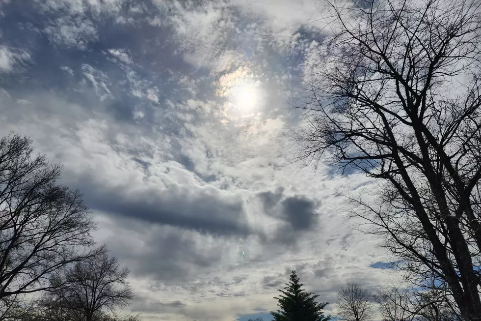
The big question now is how quickly skies will start to clear. And honestly, I think the answer is very! Partly sunny by late morning, mostly sunny by this afternoon. The only exception is NW NJ, where a little impulse Tuesday afternoon could clip the state with some sprinkles. Slight chance, very isolated, very light.
Tuesday morning is still a bit sticky, with temperatures in the 60s. Dew points and humidity levels will fall steadily through Tuesday afternoon, leading to much more comfortable air. High temperatures will hit about 75 to 80 degrees. Technically, that's below normal. Technically, who cares - it is going to turn into a nice day.
You'll really feel the dry air Tuesday evening. Overnight low temperatures will fall into the "comfortably cool" zone, mainly in the upper 50s. (Possibly as cool as about 50 degrees in far northern New Jersey and the midst of the Pine Barrens.)
Wednesday
A fantastic late Spring day. Mostly sunny skies. Dry weather. A fresh breeze. High temperatures in the upper 70s to around 80. Enjoy!
Thursday
Another fantastic late Spring day. Mostly sunny skies. Dry weather. A light breeze. High temperatures in the upper 70s to around 80. (Possibly with a more prominent sea breeze.) Enjoy again!
Friday
As winds shift from northwesterly to southwesterly, we will see three changes on Friday. 1.) Increasing clouds, from mostly to partly sunny. 2.) Increasing temperatures, to the lower 80s. 3.) Subtly increasing humidity. (It won't be truly steamy yet though.)
Friday should be another dry, pleasant, warm day.
The Extended Forecast
We dive into the final weekend of Spring with a return to more unsettled weather, fueled by a cold front set to arrive Saturday night. Pre-front, during the day Saturday, it is going to be very warm and humid. High temps will spike into the mid 80s. (90 is a possibility in spots.) We'll see partly to mostly cloudy skies.
A few showers or thunderstorms could pop during the day Saturday. The best chance of rain will come Saturday evening through Sunday morning.
As long as this forecast timeline holds, Father's Day should be fine as rain is limited to the morning. We'll progress from clouds to sun, with highs back in the lower 80s.
Forecast uncertainty goes up early next week. The GFS paints a period of showery, on-shore-breezy weather. Meanwhile, the Euro favors the start of another heat wave for the final week of June. We'll see who wins.
Dan Zarrow is Chief Meteorologist for Townsquare Media New Jersey. Follow him on Facebook or Twitter for the latest forecast and realtime weather updates.
13 things to love about Six Flags Great Adventure's new Jersey Devil roller coaster
Questions to ask to see if someone’s REALLY from New Jersey
More From New Jersey 101.5 FM


