
Thursday NJ weather: Reaching for 60 degrees, but only for one day
The Bottom Line
Step 1: Warming up. Step 2: Some clouds, raindrops, and wind. Step 3: Cooling down again.
We have finally reached our one and only mild day of the week. Thursday should present a good opportunity to catch up on some outdoor yard work, like putting up Christmas lights or raking up leaves. (Just make sure you get it done by sunset, around 4:30 Thursday afternoon.)
A cold front Thursday evening will bring a return to cold, blustery weather across New Jersey by Friday.
It is December, and definitely "snow season" now. There are two "bigger" storm systems on the horizon next week that are worthy of watching.
Thursday
If all goes according to plan, it will be New Jersey's warmest day in exactly two weeks.
From top to bottom across the state, temperatures are starting the day well above freezing. (Mainly in the 40s and 50s.) So the overnight rain produced wet roads, but nothing wintry, frozen, or icy.
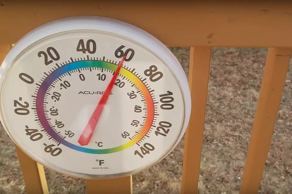
High temperatures will reach about 55 to 60 degrees Thursday afternoon — 5 to 10 degrees above normal for early December. Skies will stay mostly cloudy. And it will become increasingly breezy too.
I think it's fair to call the day "mainly dry" as the early morning rain wraps up by 7 a.m. Spotty rain showers may reemerge Thursday afternoon and evening (about 1 p.m. to 10 p.m.)
The warmth comes to an end Thursday evening, as a cold front drags in colder air once again. A few raindrops and/or snowflakes and a brief burst of wind may accompany the transition.
Friday
By Friday morning, temperatures will average upper 30s across NJ. Not that cold — the vast majority of the state should stay above freezing overnight.
Friday's forecast features a mix of sunshine and a chilly breeze, gusting over 20 mph at times. High temperatures will reach the mid to upper 40s — back to below-normal. A few flurries are possible, but that's all I expect from the sky.
Saturday
Overall, the first weekend of December looks pretty good. It's going to feel December-ish.
Models are now putting a quick snow/rain shower over New Jersey early Saturday morning. After 10 a.m. the day looks quiet and dry. Look for a mix of sun and clouds, with a light westerly breeze. High temperatures will come within spitting distance of 50 degrees — pretty typical for this time of year.
Sunday
Partly sunny and dry. Highs again on either side of 50. That's it — not too shabby.
The Extended Forecast
Monday is going to be another active, potentially crazy weather day.
Step 1: Warming up, probably into the lower-mid 60s. Step 2: Rain and/or snow. Step 3: Cooling down with a brisk wind, possibly gusting above 50 mph.
Some models are painting a rain-to-snow scenario on Monday, with light snow accumulations in North Jersey. That's going to be a matter of 1.) timing, and 2.) how fast temperatures tumble late-day. For the record, at this point, I am far more worried about the transition — the wind and cooldown — than the wintry weather potential.
Since Monday's storm is still at the tail-end of the 5 Day Forecast, we still have plenty of time to piece together forecast details.
Model guidance puts another substantial storm system over New Jersey around Wednesday. Seven days out, uncertainty is pretty high. At this point, we can call this storm system worth watching — again, especially to the north. But it also does not look like a "blockbuster" snowstorm.
Dan Zarrow is Chief Meteorologist for Townsquare Media New Jersey. Follow him on Facebook or Twitter for the latest forecast and realtime weather updates.
NJ’s most hated Christmas decorations
Gallery Credit: Jeff Deminski
First flakes: When does snow season start in NJ?
Gallery Credit: Dan Zarrow
More From New Jersey 101.5 FM


