
NJ’s big warmup is almost here: How warm, and for how long?
The Bottom Line
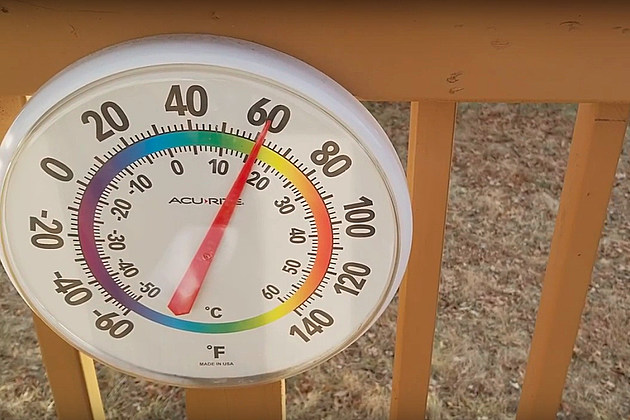
Are you ready for a big springlike warmup?! After one more day of cool sunshine Monday, we'll enjoy four days of the warmest weather of 2021 so far. 50s, 60s, and even 70s are on the way.
However, any hint of an on-shore wind or sea breeze will completely squash any hope of rising into the 60s. And I think it's important to note that this warmup is not permanent — our next cooldown arrives next weekend.
Monday
This is a persistence forecast — in other words, a "copy and paste" of Sunday. The sunshine will be nice, but temperatures will be stuck in the lower 40s. We'll stay dry with passing clouds and light winds, so it won't be entirely unpleasant.
Monday night will be seasonably chilly, as temperatures dip into the lower 30s. (Below-freezing inland, above-freezing east.) A few models hint at a sprinkle barely clipping North Jersey early Tuesday morning, I've opted for a dry forecast.
Tuesday
About 15 degrees warmer than Monday, as temperatures swing from 5-below to 10-above normal. Highs in the upper 50s would make for our warmest day since Christmas. 60+ is a possibility for inland South Jersey. We'll enjoy pleasant periods of sun and clouds throughout the day, with an occasional breeze.
Wednesday
A little wind shift will cause temperatures to step backward slightly across most of New Jersey, into the mid 50s Wednesday afternoon. Even more so along the Jersey Shore, with highs only in the 40s on Wednesday thanks to a southeasterly component to the wind. That's right — we get to break out our classic catchphrase cooler at the Shore for the first time of the season!
The ocean water is still quite cold right now, holding around 40 degrees. While on-shore flows and sea breeze make the beaches nice and cool in the summer, they also keep the Jersey Shore not-so-nice and too-cool around this time of year.
Wednesday will be sunny and dry, likely to become our 9th day in a row with no measurable precipitation.
Thursday
This week's warmup kicks into high gear on Thursday, as a southwest wind pushes temperatures even higher. Even as skies become mostly cloudy, high temperatures are forecast to push into the 60s across almost all of New Jersey. Warm enough to ditch the jackets and sweats in the afternoon. And I suspect parks, golf courses, and boardwalks will be very popular.
The exception to the warmth once again will be the immediate coast. Although we'll hopefully see 50s at the beaches Thursday afternoon.
Friday
The warmup peaks and concludes with a not-so-perfect weather day. Upper 60s for most, cooler along the coast, and 70 possible inland South. Clouds will continue to win the sky. And we are facing some widely scattered rain showers throughout the daytime hours Friday. Far from steady, soaking rain. But those raindrops could get in the way of your outdoor plans.
The Extended Forecast
I realize that Spring is only 12 days away and the Memorial Day Weekend is just 82 days away. But you had to know this surge of warmth wasn't going to stay for the duration. A cold front will reintroduce cold air to New Jersey just in time for the final full weekend of Winter. I don't think it's going to get bitterly cold again — thermometers just get knocked back to more seasonable levels. For now, guidance is suggesting lower 50s on Saturday and mid-upper 40s for Sunday.
I'm still thinking our weather turns more active again next week, as we pass the Ides of March. Long-range models show the opportunity for two storm systems next week. Given the temperature trend, there could be some snowy, icy, and/or sloppy weather to talk about. Even as you potentially dig out t-shirts later this week, don't put away the heavy coats and snow shovels just yet!
Dan Zarrow is Chief Meteorologist for Townsquare Media New Jersey. Follow him on Facebook or Twitter for the latest forecast and realtime weather updates.
More From New Jersey 101.5 FM


