Sunny, warm weather returns to NJ, but it won’t last into the weekend
Goodbye, coastal storm system. After two inches of rain fell over Cape May County and coastal Monmouth County over the past two days, we are looking forward to big improvements to NJ's weather scene Thursday. Drizzle, fog, and low clouds will linger until around midday, especially along the coast. And then skies will brighten significantly, pushing high temperatures toward 80 degrees. Friday will be even warmer, with abundant sunshine and highs in the lower to mid 80s, feeling like a mid-summer day. Cooler air invades for the last weekend of summer, pushing temps 10 to 15 degrees lower.Other than a stray sprinkle on Sunday, it will remain partly sunny and pleasant.

Thursday NJ weather: Big improvements
As of early Thursday morning, the skies over New Jersey are still murky. I still see numerous pockets of drizzle around the Garden State, with pockets of mist/fog and abundant low clouds. It feels really humid too, with both temperatures and dew points in the 60s.
As this week's coastal storm system pulls away, skies will brighten and conditions will improve dramatically around the midday hours. For most of New Jersey — inland areas — I believe skies will become mostly sunny by late morning. The coast will be the last part of the state to clear out, likely not until the early afternoon.
That will set us up for a very nice afternoon, with sunshine and warm temps. Highs should reach about 80 degrees.
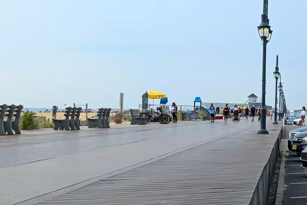
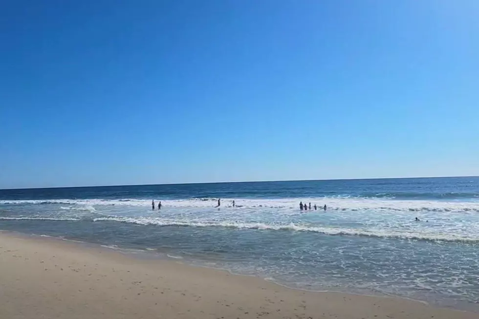
If you decide to make it a beach day, keep in mind the ocean is still a bit churned up. A moderate risk of dangerous rip currents and rough surf is still posted for the Jersey Shore.
Thursday evening should be beautiful, with clear skies and seasonable temperatures. You might feel a touch of stickiness in the air. Overnight lows will dip to around 60 degrees.
Friday NJ weather: Sunny and warm
Friday will definitely be warm and summery.
Expect lots of sunshine, moderate humidity, and a prominent west-northwest wind up to 20 mph. High temperatures will soar into the lower to mid 80s.
A cold front will arrive Friday evening. I suppose a sprinkle is possible, but this one looks pretty dry. More significantly here will be the big cooldown heading into the last weekend of summer.
Saturday NJ weather: Much cooler
This weekend will be 10 to 15 degrees cooler than Thursday and Friday. Weather conditions will be quite pleasant — just not in the 80s anymore.
Saturday looks partly sunny and dry. High temperatures will go no higher than the lower 70s. There should be a nice, crisp "fall feel" in the air.
Sunday NJ weather: Cooler for the time-being
Sunday will be a bit cloudier and even cooler, with highs only reaching about 70 degrees. Forecast models hint of a sprinkle clipping southern NJ at some point Sunday.
We enter the first day of autumn on Monday as another warming trend kicks in. We should be back in the 80s by midweek, with minimal rain chances.
I'll close with a look at the tropics, as Tropical Storm Gabrielle has ended a 20-day drought of tropical activity in the Atlantic. It is not quite a "fish storm" as Gabrielle could affect Bermuda as a low-grade hurricane early next week. There is another tropical wave behind Gabrielle that is being monitored too. There are still about 10 weeks to go in hurricane season, so plenty of time for storms to form and develop.
Biggest NJ company layoffs announced in 2025
Gallery Credit: Erin Vogt
Dan Zarrow is Chief Meteorologist for Townsquare Media New Jersey. Follow him on Facebook for the latest forecast and realtime weather updates.
NJ highway back-to-school messages
Gallery Credit: Dan Alexander
More From New Jersey 101.5 FM