NJ beach weather and waves: Jersey Shore Report for Thu 6/8
Advisories
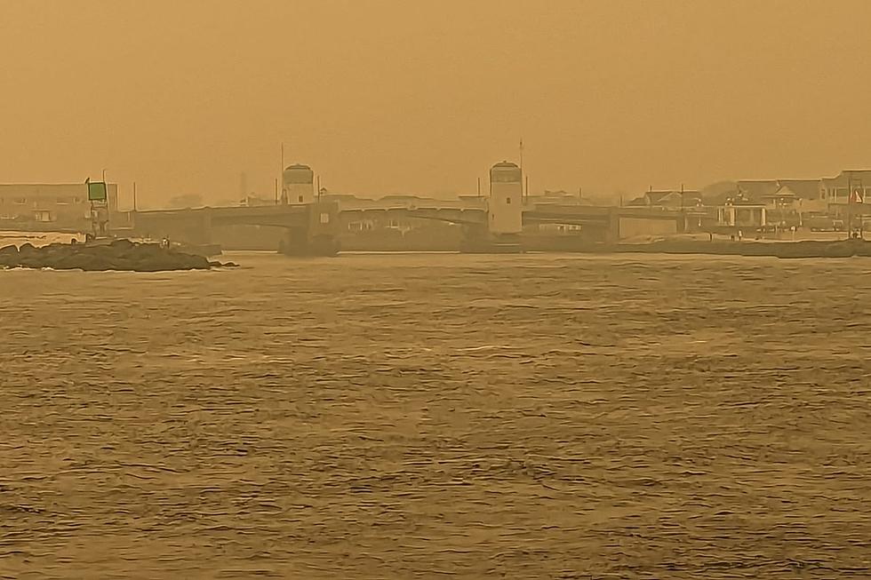
DENSE SMOKE ADVISORY in effect until 11 a.m. Dense smoke will reduce visibility to 1/4 to 1/2 NM.
CODE ORANGE AIR QUALITY ALERT in effect. Air pollution concentrations within the region may become unhealthy for sensitive groups. Avoid strenuous activity or exercise outdoors.
At the Shore
Current conditions and forecast as of Thu morning
| Rip Current Risk | Low |
|---|---|
| Waves | 1 - 3 feet |
| Winds | From the North 7 - 13 mph (Gust 16 mph) 6 - 11 knots (Gust 14 knots) |
| Ocean Temperature | 62° - 73° (Normal 60° - 74°) |
| Air Temperature | 65° - 74° |
| Sunrise/Sunset | 5:26am - 8:24pm |
| UV Index | 7 (High) |
Tide Times
| SANDY HOOK Sandy Hook Bay | Low Thu 6:08a | High Thu 12:19p | Low Thu 6:15p | High Fri 12:35a | |
| LONG BRANCH Atlantic Ocean | Low Thu 5:32a | High Thu 11:53a | Low Thu 5:39p | High Fri 12:09a | |
| MANASQUAN INLET Atlantic Ocean | Low Thu 5:44a | High Thu 12:07p | Low Thu 5:51p | High Fri 12:23a | |
| SEASIDE HEIGHTS Atlantic Ocean | Low Thu 5:36a | High Thu 11:49a | Low Thu 5:43p | High Fri 12:05a | |
| SEASIDE PARK Barnegat Bay | Low Thu 10:13a | High Thu 3:59p | Low Thu 10:20p | High Fri 4:15a | |
| BARNEGAT INLET Barnegat Bay | Low Thu 6:15a | High Thu 12:07p | Low Thu 6:14p | High Fri 12:23a | |
| MANAHAWKIN BRIDGE Manahawkin Bay | Low Thu 9:47a | High Thu 3:06p | Low Thu 9:54p | High Fri 3:22a | |
| LITTLE EGG INLET Great Bay | Low Thu 6:55a | High Thu 1:04p | Low Thu 6:47p | High Fri 1:22a | |
| ATLANTIC CITY Atlantic Ocean | Low Thu 5:48a | High Thu 11:52a | Low Thu 5:43p | High Fri 12:08a | |
| OCEAN DRIVE BRIDGE Townsends Inlet | Low Thu 6:16a | High Thu 12:22p | Low Thu 6:09p | High Fri 12:47a | |
| WILDWOOD CREST Atlantic Ocean | Low Thu 5:53a | High Thu 11:54a | Low Thu 5:46p | High Fri 12:15a | |
| CAPE MAY Delaware Bay | Low Thu 6:44a | High Thu 12:56p | Low Thu 6:44p | High Fri 1:17a |
Marine Forecast
From the National Weather Service, Mt. Holly
TODAY: NE winds around 5 kt, becoming E early this afternoon, then becoming SE 10 to 15 kt late. Seas around 2 ft. SE swell around 2 ft at 5 seconds. Smoke this morning. Hazy. Patchy smoke this afternoon. A slight chance of showers and tstms late.
TONIGHT: S winds 5 to 10 kt, becoming W after midnight. Seas 2 to 3 ft. S swell around 2 ft at 5 seconds, becoming SE at 6 seconds after midnight. Hazy.
FRI: N winds around 5 kt, becoming SE in the afternoon. Seas around 2 ft. SE swell around 2 ft at 6 seconds in the morning, becoming light. A chance of showers. Hazy. A chance of tstms in the afternoon.
FRI NIGHT: SW winds around 5 kt, becoming W after midnight. Seas around 2 ft. SE swell around 2 ft at 9 seconds. A chance of tstms in the evening. A chance of showers.
SAT: NW winds 5 to 10 kt, becoming SW in the afternoon. Seas around 2 ft. SE swell around 2 ft at 9 seconds.
SAT NIGHT: SW winds 5 to 10 kt. Seas around 2 ft.
SUN: W winds around 5 kt, becoming S. Seas 2 to 3 ft. A chance of showers after midnight.
MON: S winds 5 to 10 kt, increasing to 10 to 15 kt. Seas 3 to 5 ft. A chance of showers through the day, then showers likely through the night. Winds and seas higher in and near tstms.
Plan Your Trip
Data on this page amalgamated from several sources, including the National Weather Service (weather), National Ocean Service (tides), U.S. Naval Observatory (sun), and the U.S. Environmental Protection Agency (UV index).
Dan Zarrow is Chief Meteorologist for Townsquare Media New Jersey. The Shore Report is generated semi-automatically daily at 5 a.m. from mid-May to late September. Follow Dan's weather blog, Facebook page, and Twitter feed for your latest forecast and realtime weather updates.
The Tastiest Jersey Shore Food Trucks You Should Try This Summer
Gallery Credit: Jimmy G
CHECK OUT: All the free beaches in New Jersey
New Jersey's best tourist town for all 4 seasons
Gallery Credit: Dennis Malloy
More From New Jersey 101.5 FM