

Tuesday NJ weather: Go ahead, make it an October beach day
The Bottom Line
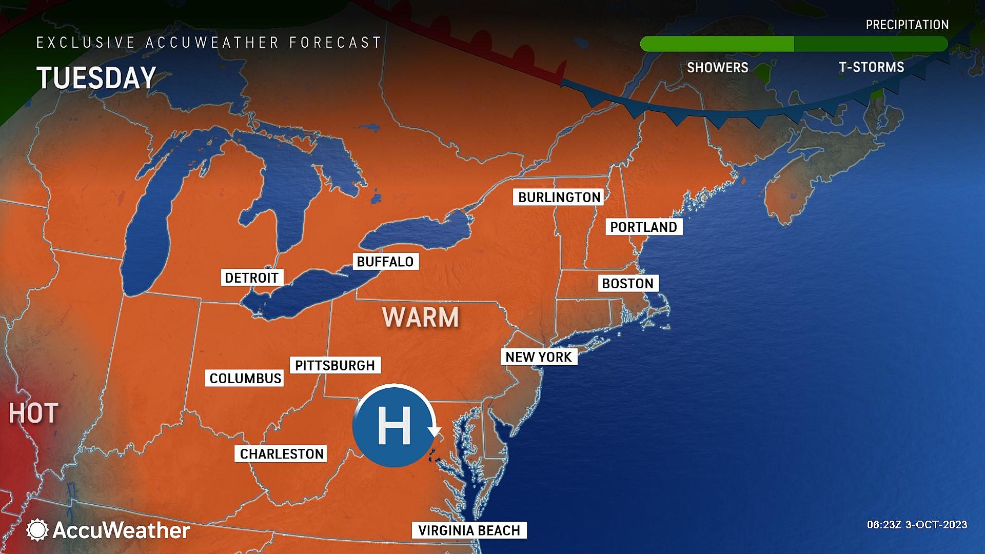
What a week of weather! Tuesday will be the third of five gorgeous weather days, featuring abundant sunshine, completely dry weather, and warm temperatures. Both Tuesday and Wednesday will see thermometers flirting with 80 degrees, running about 5 to 10 degrees above normal for early October.
As much as I love the warm, sunny weather — especially after our recent stretch of cool, soaking wet weather — we do have to start focusing the strong cold front looming at the end of the week. That will be our next chance of rain. And it will open the door to much cooler air. Sunday will be about 20 degrees cooler than Tuesday — a real taste of fall.

Tuesday
You might need a light jacket to start Tuesday morning, as temperatures have dipped into the 50s across most of the Garden State. But by Tuesday afternoon, you might be reaching for shorts, as high temperatures reach about 80 degrees. Mostly sunny skies, dry weather, and barely a breeze.
Back in June or early September, such weather would make for a great beach day. Now, ocean temperatures have cooled quite a bit since summer, with the water currently around 66 degrees. And we're calling it a "moderate" risk of rip currents too. But stick to the sand, and you'll be in a very happy place. High temperatures at the beaches will be closer to 70 degrees, with a light sea breeze setting up.
No problems are expected for Tuesday evening either, as our weather stays clear and comfortable. Low temperatures will fall into the upper 50s overnight, on average.
Wednesday
Wednesday could be the warmest day of the week, as most highs reach into the lower 80s. Closer to record highs than normal highs. Again, we will bask in sunshine and dry weather.
Thursday
Of course, if I am calling Wednesday the warmest day, then the second half of the week will start to slide backwards again. Don't worry though — Thursday will stay mild and pleasant.
We will see some subtle changes Thursday, largely owing to a wind shift to southeasterly (an on-shore breeze). Skies will become partly sunny — still bright, but with some clouds. High temperatures will come down slightly, to the mid-upper 70s — still above normal, but affected by an ocean influence.
More importantly, Thursday looks like another rain-free day.
Friday & Saturday
I have lumped these two days together because this is when we face the impacts of our next storm system. A strong cold front will push a band of rain through New Jersey, possibly totalling an inch in spots. But the big question: When?
The daytime hours on Friday should be salvageable. It will be mostly cloudy. And I could see a few hit-or-miss showers popping up at some point during the morning and/or afternoon. But the day will be mainly dry. And we will hold on to high temperatures in the mid 70s.
The first of two scenarios on the table for the cold front pushes steadier rain through New Jersey from Friday evening through Saturday morning. This would be the "best case" scenario, as the overnight timing limits impacts to outdoor activities. If this timetable plays out, lingering showers could carry into Saturday afternoon. But we will gradually dry out, clear out, and cooldown as the day goes on.
Scenario number two is far less kind to the weekend, as the wet weather timeline pushes later. Pockets of rain would push through New Jersey from Saturday morning through Saturday afternoon.
In either scheme, the risk of severe weather and/or flooding would be limited. It's just some rain. And breezy conditions. Maybe some rumbles of thunder.
The Extended Forecast
On the other side of that frontal boundary, a new, much cooler, much drier air mass will push into New Jersey by Sunday. We are looking at morning lows in the 40s and afternoon highs barely in the 60s. Much more autumnal. And a far cry from this week's 80+ degree weather, for sure.
Below-normal temperatures are expected through next week. And farmers and gardeners may need to watch out for the first frost of the season in North Jersey, if temperatures manage to dip into the 30s.
LOOK: Food history from the year you were born
Gallery Credit: Joni Sweet
Dan Zarrow is Chief Meteorologist for Townsquare Media New Jersey. Follow him on Facebook for the latest forecast and realtime weather updates.
More From New Jersey 101.5 FM


