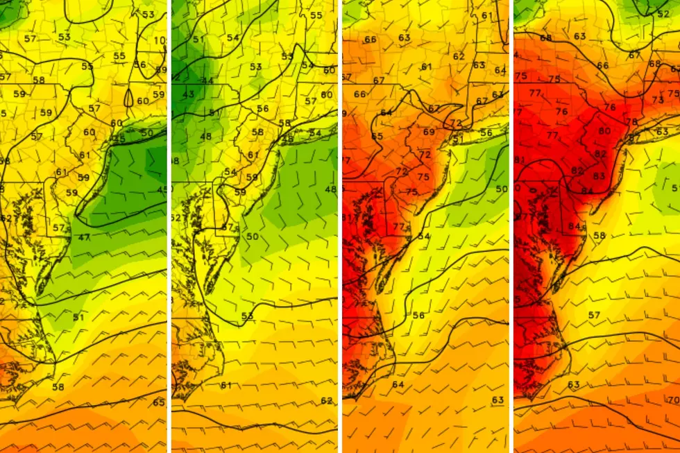
Snow, icy mix, and rain wind down – frigid temps ahead for NJ
The Bottom Line
For the first time in almost two years, New Jersey is a winter wonderland. As of this writing, top snow totals around the state are in the neighborhood of 3 inches. It looks like every corner of NJ picked up at least an inch of fresh snow.
The Tuesday morning rush hour will be sloppy. Dozens of NJ school districts have opted for a delayed opening or outright closing Tuesday.
Looking ahead, the steadiest snow has already started to dial back. But warming temperatures are forcing a transition from straight snow to icy mix — that is snow, sleet, and freezing rain.
While additional snow accumulation will be limited to North Jersey going forward, a glaze of ice could become even more treacherous elsewhere.
Wintry precipitation will shut off Tuesday afternoon. And then even colder air will make for a frigid night.
Our next storm system is coming up on Friday, but impacts look minor at this point.

Tuesday
A Winter Weather Advisory continues through this afternoon for the entire state of New Jersey, as snow and ice make for slick roads and poor visibility all around.
Throughout Tuesday morning, pockets of light to moderate snow will slowly transition (south to north) to icy mix and then plain rain. That mixing line will probably reach as far north as Interstate 78 (maybe even I-80) by lunchtime.
Far northern New Jersey could see another 2 or 3 inches of snowfall. But for most of the state, accumulation is done. Up to a tenth-inch glaze of ice is possible due to sleet and freezing rain through early afternoon.
At some point Tuesday afternoon — by 4 p.m. at the latest — snowflakes, sleet pellets, and raindrops will exit New Jersey. As our weather dries out, you will notice a brisk northwest wind kick up over 20 mph. That is even colder air that will settle into New Jersey Tuesday night.
Cold air, clear skies, and fresh snow cover? The perfect recipe for a frigid January night across New Jersey. Our coldest since last February, in fact.
Overnight low temperatures will plummet to around the mid teens. Factor in the continuing breeze, and the wind chill (the "feels like" or "apparent" temperature) will be in the single digits.
So two pieces of advice for Tuesday night:
1.) Bundle up.
2.) Beware the refreeze. Any puddles or untreated wet surfaces will absolutely freeze solid. Watch your step.
Wednesday
Wednesday stays blustery and cold. It will be dry and sunny, which will help with some snow/ice melt. But high temperatures will be stuck below freezing, statewide. We will only warm into the mid 20s Wednesday afternoon.
In fact, North Jersey will probably stay below freezing continuously for the next week — seven days. Welcome to winter!
Thursday
Thursday's thermometer will be a little better, with most highs in the mid 30s. Skies will turn partly sunny and then mostly cloudy, with a lighter wind.
Forecast models do paint a chance of a snow shower over New Jersey right around the evening rush hour. Light stuff — I do not think we have to worry about accumulations or massive travel issues.
Friday
We have been watching another storm system for Friday. As it stands now, the ingredients are not coming together for another winter storm with widespread impacts — it is tracking too far south and east. The current consensus forecast gives New Jersey an inch or two of snow accumulation by Friday afternoon.
This one is worth watching though. There is still time for that track to "wiggle" a bit closer to the coast, making wintry impacts more widespread and impactful. Once we clear away from our current storm system, we should have better clarity on what is coming late-week.
The Extended Forecast
Another arctic air mass takes hold on Saturday, keeping New Jersey in the deep freezer. Highs will only reach the lower-mid 20s. Brrr.
Temperatures should moderate to more seasonable levels for Sunday and next week. Keep in mind, normal highs in late January — the "dead of winter" — are in the upper 30s.
The next opportunity for a storm would be in the second half of next week. While model guidance currently favors a wet scenario, rather than a wintry one, I would not put much stock into that just yet.
LOOK: Biggest snowfalls recorded in New Jersey history
Gallery Credit: Stacker
Dan Zarrow is Chief Meteorologist for Townsquare Media New Jersey. Follow him on Facebook for the latest forecast and realtime weather updates.
Dan Zarrow's Top 10 Weather and Climate Stories of 2023
Gallery Credit: Dan Zarrow
More From New Jersey 101.5 FM


