

NJ weather: Chilly temps, two more little shots of snow this week
UPDATE... This article is outdated...
For the latest storm forecast information, please refer to my newest weather blog post.
The Bottom Line
Well, Wednesday is certainly starting much quieter and easier than Tuesday did. After New Jersey's biggest snowstorm in two years moved away, the sun came out and caused some solid snowmelt. Snow totals in New Jersey ranged from 0 to an impressive 15 inches.
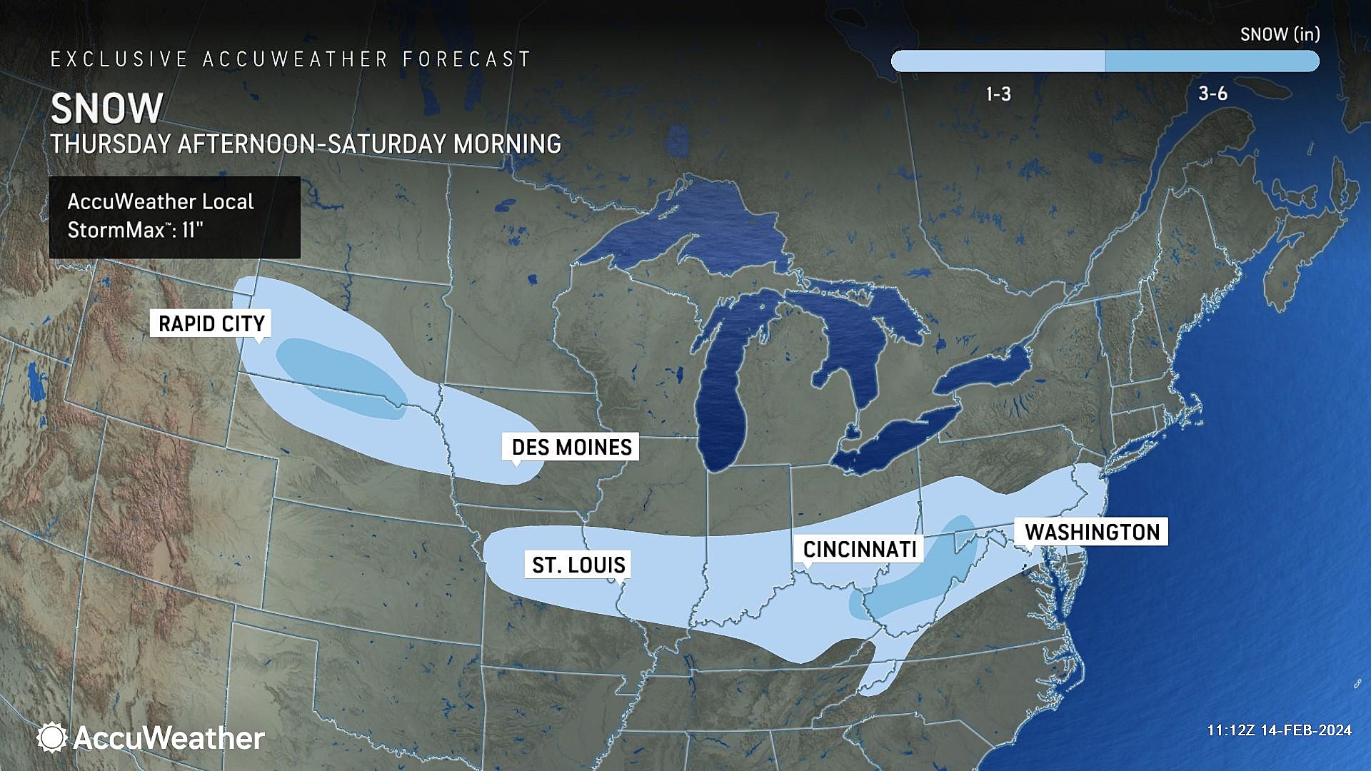
There are no "big" storms in the forecast here. Just a bunch of unseasonably chilly days, right through the upcoming weekend. And a couple "little" hits of snow coming up too — Thursday evening and Saturday morning. Each of which could produce some light snow accumulation.

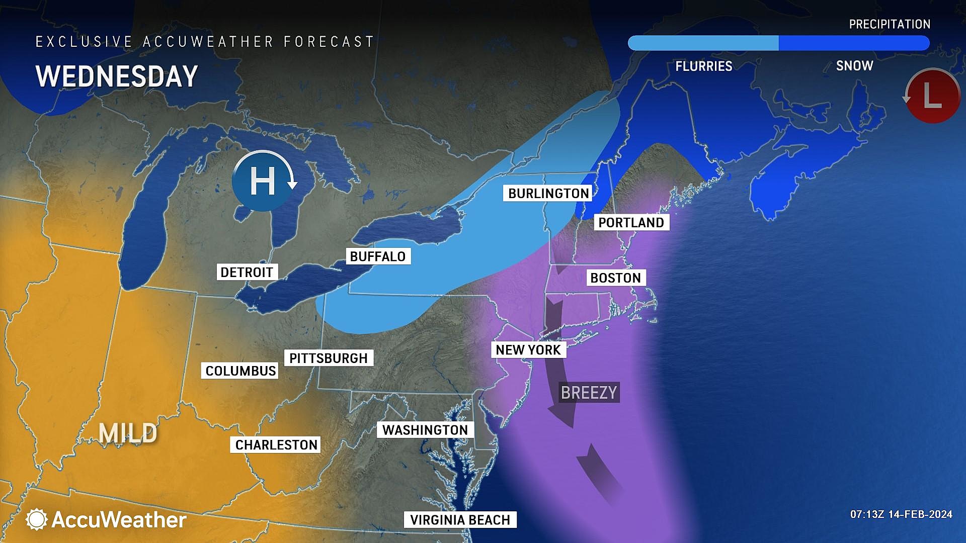
Wednesday
Radar has been picking up on some flurries streaming into New Jersey from New York and Pennsylvania, so do not be surprised if you see some flakes flying around at any point Wednesday.
Meanwhile, overnight temperatures dropped into the lower 30s on average across the state. Not as cold as expected, as the breeze did not fully die down. Yes, there are some slippery spots. Yes, you should still watch your step. But this is not a big, bad, dramatic flash freeze or anything like that.
The operative word for Wednesday's weather forecast is blustery. That uncomfortable combination of cold temperatures and a biting wind. Highs will only reach the mid 30s Wednesday afternoon, so thermometers will not budge much. Meanwhile, a brisk northwesterly wind will gust over 20 mph throughout the day. At least sunshine will help to cut that chill a little bit.
As the wind dies down Wednesday evening and skies stay clear, we are facing a very cold night. In fact, it could be New Jersey's coldest since January. Look for lows mainly in the lower 20s. Some teens are possible in the coldest corners of NJ.
Thursday
Most of Thursday will be fine. Early sunshine will give way to mostly cloudy skies through the midday and afternoon hours. High temperatures will temporarily improve to the lower 40s. (That is still a couple degrees below normal for this time of year.)
The big hiccup for Thursday will be a string of showers that will come into play between 4 p.m. and 10 p.m. Light stuff, centered over northern New Jersey.
I think there is a legitimate shot at an inch of snow accumulation along and north of I-78, especially on colder surfaces. That is not really enough to cause widespread travel nightmares, but there could be some slick roads for a time. For central and southern NJ, this disturbance will either produce only rain or non-accumulating snow/mix.
Friday
In the wake of a cold front on Friday, we will flip back to dry weather, with a mix of sun and clouds overhead.
But Friday will also bring back the blustery. An even stronger wind is forecast to kick up Wednesday, with gusts possibly approaching 40 mph.
Temperatures are a little tricky on Friday. I agree with most model guidance, dropping highs to around the 40-degree mark. A couple solutions are warmer, in the mid 40s. I think the chilly wind wins out, preventing temperatures from reaching such seasonable levels.
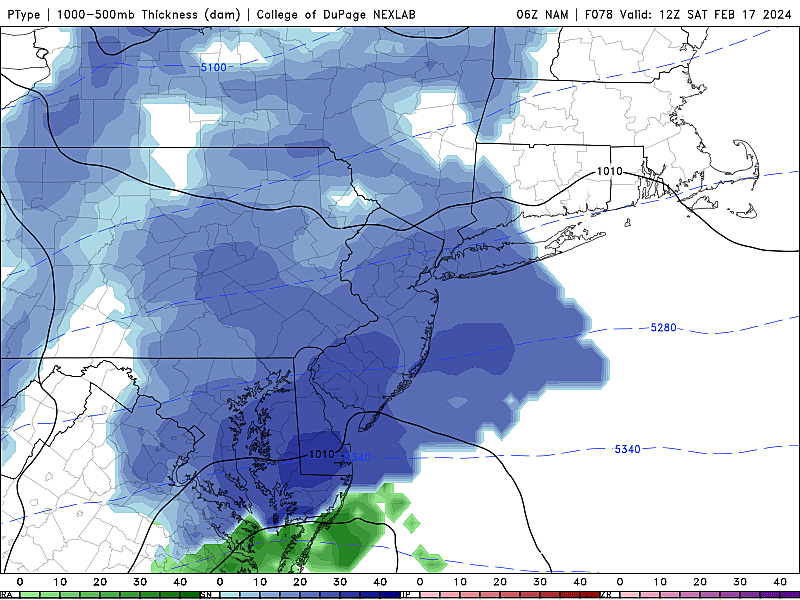
Saturday
One more disturbance passes through New Jersey to start the weekend. I'm eyeballing Saturday 2 a.m. to 10 a.m.
This time around, given the early morning timing and therefore cold temperatures, it would be all snow. That light snow looks widespread across the entire state. Light accumulations are a distinct possibility too, on the order of an inch or two. The best chance for fresh snow on the ground would actually be southern New Jersey — closer to the core of this storm, and might see a period of "moderate" intensity snow.
If this forecast holds, we will start talking more seriously about those potential accumulations in the coming hours and days. Again, not a big storm, but there could be some impacts to travel around the region.
The rest of Saturday looks fine. Skies will clear to partial sunshine, with chilly high temperatures in the upper 30s.
Sunday & Beyond
Sunday afternoon will be very familiar to Saturday afternoon, with a bright sky and unseasonably chilly temperatures. Highs hold steady in the upper 30s.
Long-range models paint a warmup for New Jersey early next week, well into the 40s for Monday and Tuesday. We could even see some 50s around by midweek.
There is a signal for another potent winter storm arriving late next week, centered on Friday. That is about 9 days away, right on the edge of when these things become "real" in model guidance. So for now, we'll just keep watching closely. It probably wouldn't be until the middle of next week when we would get serious about predicting snow totals, storm timeline, advisories, etc.
Top 21 fastest growing towns in New Jersey
Gallery Credit: New Jersey 101.5
Dan Zarrow is Chief Meteorologist for Townsquare Media New Jersey. Follow him on Facebook for the latest forecast and realtime weather updates.
21 fastest shrinking towns in New Jersey
Gallery Credit: New Jersey 101.5
More From New Jersey 101.5 FM


