How did the blizzard forecasts go so wrong?
How did the much-predicted "historic winter storm" of 2015 become the "blizzard that wasn't" for New Jersey? Mainly by tracking 50 miles further to the east than forecasters expected.

After forecasts of two to three-foot snowfalls failed to materialize overnight, National Weather Service meteorologist Gary Szatkowski tweeted an apology for his agency early Tuesday.
"My deepest apologies to many key decision makers and so many members of the general public," tweeted the lead meteorologist for the Mt. Holly-based agency. "You made a lot of tough decisions expecting us to get it right, and we didn't. Once again, I'm sorry."
Dan Zarrow, chief meteorologist for Townsquare Media in New Jersey, echoed those sentiments.
"There’s a lot to learn from this storm and the way yesterday played out," Zarrow said early Tuesday. "When it comes down to it, I tended toward the “worst-case scenario” forecast. I consider myself a very honest meteorologist... but ultimately, I would much rather “bust” a forecast than “miss” a big storm. If I had predicted three to six inches and we actually got three feet, the public’s pitchforks would be even sharper this morning. Nonetheless, I sincerely apologize for letting you down, New Jersey."
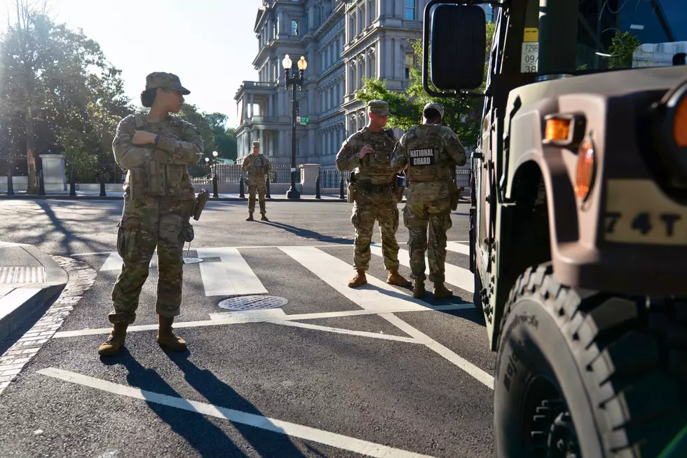
Anticipation of the major snowfall led Gov. Chris Christie to issue a state of emergency, and implement a travel ban on Monday night, which remained in effect Tuesday morning. NJ Transit suspended all service for Tuesday morning and hundreds of schools and businesses cancelled sessions.
The governor told ABC7-NY this morning that he had no regrets about the precautions.
"I was being told as late as 9 last night that we were looking at 20-inch accumulations in most of New Jersey," Christie said. "If, in fact, that is what would have happened, having these types of things in effect were absolutely the right decision to make. . . I am always going to err on the side of caution."

Zarrow, who spent all day Monday tracking the movement of the storm, said it was a "close call" forecast and that any variations in the track would cause huge differences in weather conditions, As it turned out, the storm tracked roughly 50 miles further to the east than expected.
"My job as a meteorologist is to present not only a forecast of expected weather conditions, but also provide an honest assessment of my confidence that those conditions will actually happen," said Zarrow. "I think I could have communicated that uncertainty a lot better, and will work on ways to do that better for the next storm."
More From New Jersey 101.5 FM