Why is NJ Getting Snow in Spring?
March 20th marked the first day of spring, so why are we experiencing winter-like weather five days into spring?
Upper Atmosphere Conditions
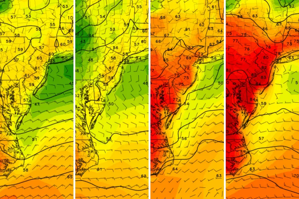
The 850 millibar temperatures are favorable for snow. The 0 degree isotherm is south of New Jersey.
Looking at the skew-T of the atmosphere in New Jersey, much of the atmosphere is below freezing. Only at the surface and a couple hundred meters up, is the temperature above freezing. With only one freezing level, temperature at the surface around 2 degrees Celsius, and the freezing level is less than 1,200 meters it is indicative of snow fall.
New Jersey is currently in the left jet exit of the jet stream. This is indicative of upward vertical motion. The stronger the upward vertical motion, the greater the potential for more snow to fall.
Snow Accumulation
This snow storm will have a greater impact on south Jersey than north Jersey. Due to marginal temperatures in central and northern New Jersey, the snow may melt as it falls, meaning less accumulations for parts of central and all of northern New Jersey.
In spring the sun is higher in the sky, meaning the solar intensity is stronger. Although the sky is completely covered by clouds, enough radiation from the sun can pass through the clouds to warm the atmosphere.
Models are predicting only 1 to 3 inches of snow for northern New Jersey and 2 to 4 inches for central New Jersey with 3 to 6 inches for southern New Jersey and some areas that may exceed more than 6 inches.
More From New Jersey 101.5 FM


