Thunderstorms threaten Monday’s afternoon commute
New Jersey face the threat of potentially strong thunderstorms Monday and Tuesday.
A line of strong thunderstorms in central Pennsylvania moving east prompted a Tornado Watch to be issued for Hunterdon, Morris, Sussex and Warren counties until 10 p.m. on Monday night.
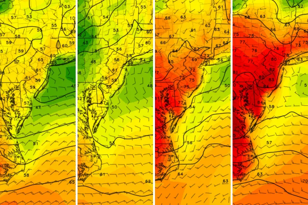
Meteorologist Mark Thibodeau,, substituting for Dan Zarrow, says for a cold front will trigger the storms late on Monday afternoon which could contain damaging winds and hail. Flash flooding in locally heavy rain is also possible. North and Central Jersey are at the highest risk for storms but "given the unstable air that has built up during the day, Storms could independently pop up just about anywhere in the state," says Thibodeau.
Another round of thunderstorms is expected on Tuesday along with an increase in humidity which should be the last threat of storms for the week.
The shore will offer some relief with cooler temperatures but there is moderate risk of rip tides with wind and wave conditions favoring their development. Swimmers should stay in areas with a life guard on duty and take a flotation device into the water.
Get the latest watches and warnings sent to your phone by texting WEATHER to 89000 or following nj1015 on Twitter.


NJ 101.5 SMS Alerts (Max 8msg/mth); T&C and Privacy Policy at 89000.mobi. Reply STOP to opt-out or HELP for help. Msg & Data rates may apply.
More From New Jersey 101.5 FM


