
Three days of warm and increasingly wet weather for NJ
The Bottom Line
This weather forecast is starting to look awfully springlike. Not just because of the warmup coming this week, into the 50s and 60s through midweek. But also because long-range, there are big "bounces" in temperature — from warm to cold to warm to cold. That is a very March-ish or April-ish kind of pattern. And, of course, the warm comes with some wet — rain showers are regular occurrences in the forecast too.
We will see widespread 50s on Monday, followed by 60s on Tuesday and Wednesday. A nice break from the cold. Rain chances will go up starting Tuesday evening, lasting much of Wednesday.
A cold front is set to arrive Wednesday night. And it is going to have some teeth. Not only are we looking at a period of heavy rain, rumbles of thunder, and 40 mph wind gusts. But also sharply falling temperatures, potentially leading to a flash freeze by Thursday morning.
Yes, it is going to be a tumultuous, lion-ish end to February.

Monday
Despite the impending warming trend, Monday morning is still pretty chilly. Most of New Jersey is starting the day around 30 degrees. Along the southern and eastern edges of the state, temperatures are closer to 40.
There will be a batch of light showers clipping the state through about 10 a.m. Monday. No big deal, just some raindrops and snowflakes. Mainly to the north.
The rest of Monday will feature a mix of sun and clouds. And mild high temperatures hitting about 50 to 55 degrees. That is 10+ degrees warmer than Sunday, and firmly above normal for late February.
Monday night will be cool, but not a freeze for the vast majority of the state. Look for lows averaging the upper 30s to around 40.
Tuesday
Getting warmer. But also getting wet, eventually.
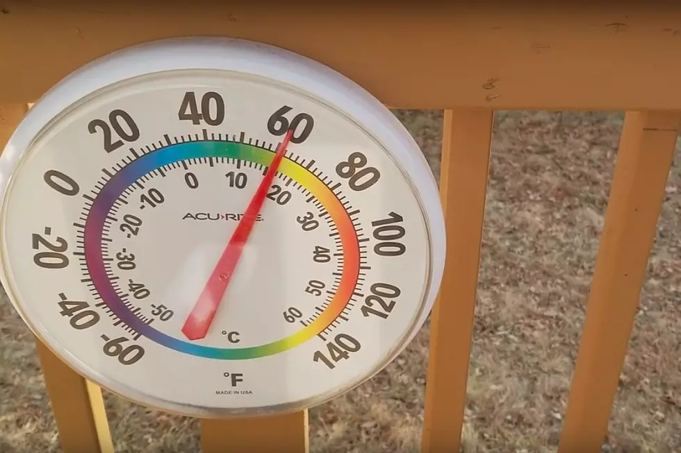
Skies will turn mostly cloudy on Tuesday. But temperatures will continue to rise. I expect most of New Jersey to hit the lower 60s Tuesday afternoon. North of I-78 will probably be stuck in the 50s — still quite mild. And the chilly ocean water will temper the warmup along the immediate coast, with temperatures closer to 50 degrees east of the Garden State Parkway.
Scattered rain showers will likely come into view starting around 5 p.m. Tuesday. So from dinnertime onwards, we will have to deal with sporadic wet weather.
Wednesday
Wednesday will be the most unsettled weather day of the week, with clouds and raindrops around. Hit or miss showers are possible at any time, with highs in the lower 60s.
If we see a break of dry weather and peek of sunshine, I believe there is a chance for some mid to upper 60s on Wednesday. Record high temps might be in jeopardy.
But Wednesday will be the final day of this warm stretch, as a strong cold front arrives late-day. Again, we are looking at a "dinnertime or later" timing.
This front is going to drive a few hours worth of heavy rain and wind. Embedded thunderstorms may produce rumbles of thunder.
Cold air pushes in behind the front. There could be a brief period of snowflakes on the backside of this storm system Wednesday night, but accumulations are unlikely.
Temperatures will drop like a stone Wednesday night, likely ending up in the 20s by Thursday morning. I am concerned about the "flash freeze" potential, where all wet surfaces ice over.
Thursday
Back to blustery on Thursday. And back to below-normal temperatures.
High temperatures will only reach the lower 40s on Thursday, with a brisk northwest wind to remind you how chilly it is. Skies will become mostly sunny, at least.
Friday & Beyond
We'll still be stuck in the 40s on Friday, with a chance of late-day rain. And then our next warming trend begins on Saturday, as thermometers push toward 50 degrees. 60 is a possibility again as early as Sunday.
There is no significant threat of snow within the next week or two. And that means the window for potential winter storms is rapidly closing. I am not ready to "bang the gavel" on the winter season just yet. There is still an opportunity for mid-March to turn cold and active — it is, after all, a traditionally tumultuous part of the year. I am interested to see how things look at this point next week.
2024 Seaside Heights Polar Bear Plunge raises $2.75M
Gallery Credit: Andrew Miller/For New Jersey 101.5
Dan Zarrow is Chief Meteorologist for Townsquare Media New Jersey. Follow him on Facebook for the latest forecast and realtime weather updates.
New Jersey's St. Patrick's Day Parades 2024 (by date)
Gallery Credit: Dan Alexander
More From New Jersey 101.5 FM


