
Winter weather advisory in effect as temperatures plunge
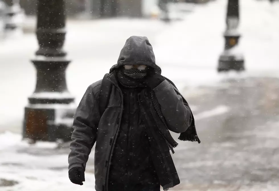
Wind chills were in the single digits Sunday morning, in a temperature plunge that could achieve record-setting levels.
A winter weather advisory is in effect until 3 p.m. and a high warning has been issued until 2 p.m. with gusts of up to 55 miles per hours expected.
Sporadic power outages are also being reported in some parts of the state, including Newark, Linden, Toms River and parts of Morris County.
The wind is the bigger factor in the morning's brutal winter conditions.
"What's gonna make it even worse is the wind," said Joe Mikitta, a meteorologist at the National Weather Service in Mount Holly predicted earlier. "When the second shot comes in Sunday night, it's going to get even colder."
Despite the cold temperatures, this winter isn't one of the coldest on record. January 2014 was actually colder than this January and February, according to Dave Robinson, the state climatologist at Rutgers University.
"It is somewhat rare, indeed, in the last several decades, to have cold Januaries and Februaries back to back," Robinson said. And while January 2014 was colder than January 2015, both were 3 to 4 degrees below average. Last February was about 4 degrees below average.
And although there are no complete numbers for February 2015, it hasn't been one for the record books, at least not yet.
"As we speak, we are already into the second week of February and North Jersey is running about 7 degrees below average. South Jersey is about 3 degrees below average," Robinson said.
But make no mistake, it's going to be cold this weekend.
Experts pin these extremes on the polar vortex, a huge mass of Arctic air that can plunge the U.S. into a deep freeze.
"There is always an area of low pressure system that is sitting near the pole up in Northern Canada. And sometimes the flow with that low moves farther south, and the center of the low moves farther south -- that tends to be what people think is the polar vortex, and that indeed is what it is," Mikitta said. "The center of the low is not necessarily dropping down right on top of us. It did a little bit last year."
But it's a little bit more complicated than just saying the polar vortex is paying us a visit.
"What's happening in this instance Friday and again later on the weekend is that the flow has been opened up to the poles. So the center of the low will be staying to our north, but the low from the pole will be be coming south," Mikitta said.
More From New Jersey 101.5 FM


