
NJ’s first (light) snow of the season! Your comments, pics
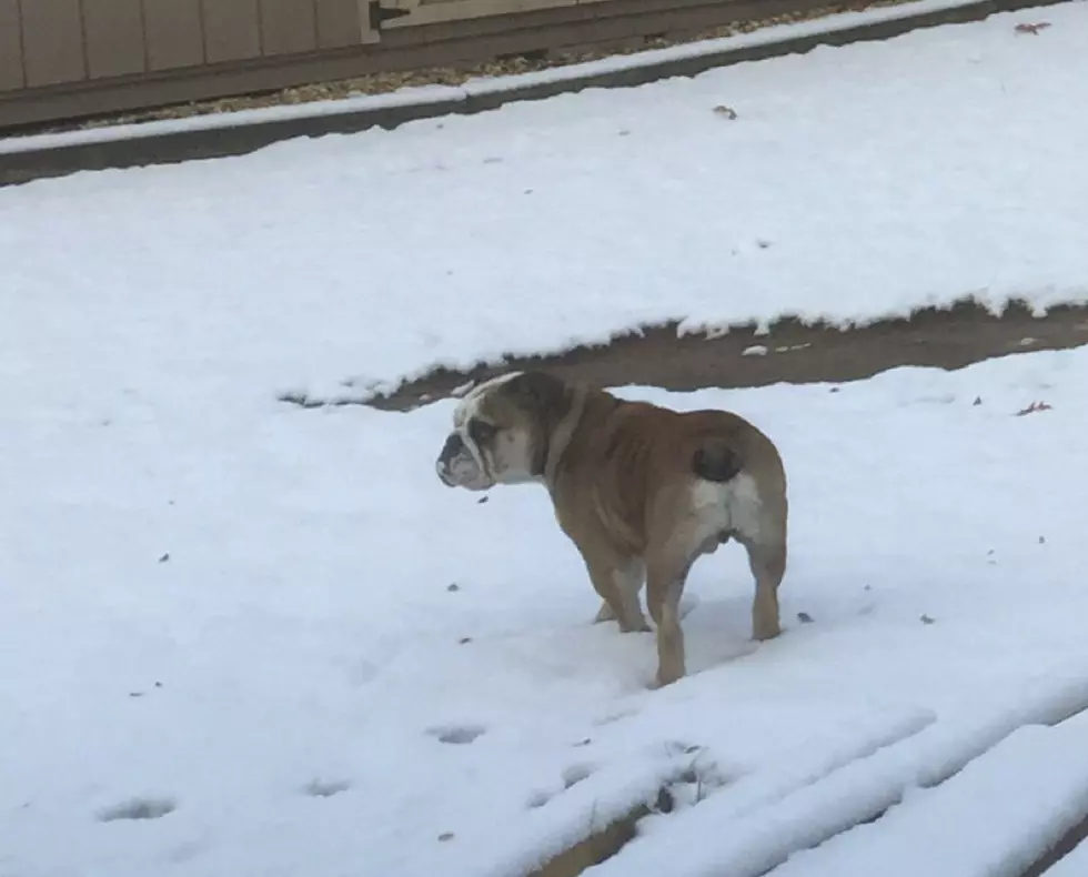
New Jersey may not be a stranger to cold weather or snow, but the Garden State's first snowfall of the year - no matter how slight - always causes a stir and some chatter on social media. Saturday night's weather was no exception.
Many people in the state took to social media to comment about the blustery winds and light snow that blanketed New Jersey. According to Meteorologist Dan Zarrow, we haven't seen the last of this round of wintry weather.
"Record-breaking snow! Well, we tied the daily snowfall record at Atlantic City Airport, with a trace (less than 0.1") of new snow," Zarrow said Sunday morning.
We could also see a bit more snow as a result of this current cold front.
"Sunday will be cold and blustery all day, with on-and-off snow showers continuing. A Wind Advisory remains in effect for the entire state," Zarrow said. "Temperatures will remain well below normal for Monday and Tuesday, before moderating a bit on Wednesday."
Some parts of the state saw more significant snowfall, while other barely saw a dusting or a few flurries, although the majority of New Jersey saw some very high winds and in a few places, the gusts were enought to knock out power.
According to PSE&G's outage map, just over 730 customers were affected. Jersey Central Power and Light reports about 571 customers with service disruptions and Atlantic City Electric only had about 20 people affected, according to the company's map.
Zarrow also warns New Jerseyans that although the ground may only appear to be wet following the overnight precipitation, there could be some slick spots on the roadways, so motorists should be cautious.
Toniann Antonelli is a social content producer for NJ 101.5. She can be reached at toniann.antonelli@townsquaremedia.com, or on Twitter @ToniRadio1015.
More From New Jersey 101.5 FM


