
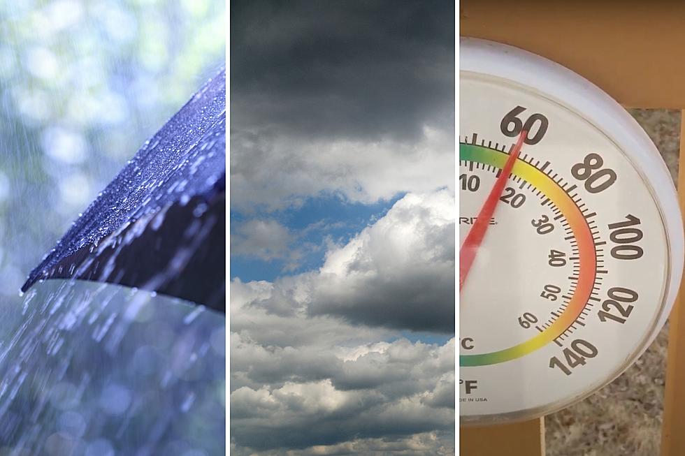
NJ weather: When it’ll rain, when it won’t, and how warm it’ll get
The Bottom Line
New Jersey's big thaw will really ramp up over the next few days. Not only are we looking at temperatures soaring way above late January norms — even into the 60s in spots — but also several rounds of rain.
I think there are three important takeaways from this forecast:
1.) There will be pockets of wet, dismal weather. But also periods of dry, even pleasant conditions.
2.) The warmup is nice. But also temporary.
3.) Cold air and wintry mix make a comeback by the end of the weekend.
Let's dig into the details now, so you can plan accordingly.

Wednesday
We are waking up to hit-or-miss showers and temperatures in the 30s.
In North Jersey — along and north of Interstate 80 — there is still a risk of icy mix (snow, sleet, freezing rain) making surfaces slick. A Winter Weather Advisory continues until midday for Sussex, Morris, western Passaic, and western Bergen counties. Once we get past lunchtime, however, that limited icing risk goes away.
In addition, Wednesday's daytime hours look mainly dry for New Jersey. After the morning spotty showers wrap up, skies will stay cloudy. High temperatures push into the mid to upper 40s — not exactly warm, but that is 5 to 10 degrees above normal for late January.
Rain will start to spread back in late Wednesday afternoon, starting in the northern half of the state. By late Wednesday night, everyone will get wet again.
Overnight temperatures will actually hold steady, or rise slowly. We should be close to 50 degrees (give or take) by daybreak Thursday.
Thursday
Thursday is going to be a wet day. Is it going to rain all day long, a potential washout? No. But a period of steady rain from morning to afternoon will have you reaching for the umbrella and windshield wipers.
Total rainfall for the entire week is forecast to end up just over an inch. It's a slow soak, which significantly lessens the risk for flooding or any dramatic impacts.
High temperatures on Thursday should reach the lower to mid 50s for central and southern New Jersey. Cooler 40s to the north.
Friday
Friday is going to be an interesting weather day.
It will start with one more push of rain, from early to mid morning. At least one model suggests the chance for an embedded thunderstorm or downpour. But again, nothing severe.
One the rain clears out, we should see some peeks of sun through Friday afternoon. And that will help fuel the grand finale of this week's warmup.
High temperatures on Friday are forecast to range from 48 degrees in North Jersey to 66 degrees in South Jersey. Yes, 60s in January! For the southern half of the state, at least. 60s is unusual, although not unheard of.
Hopefully you can get outside for a bit Friday, or at least open up the windows, to enjoy some fresh, springlike conditions. While they last.
Saturday
The warmth comes to an end with a (dry) cold frontal passage Friday night into Saturday morning.
I do expect a dry day Saturday. Again with peeks of sun — let's call it mostly cloudy.
High temperatures will come down to the upper 40s. Still above normal and probably pleasant, as long as the wind does not blow too hard.
Sunday & Beyond
Sunday will be the worse of the two weekend days, as another piece of energy approaches with more inclement weather.
The timing and extent of Sunday's rain is unclear. (The GFS model says early and late only, while the European shows a much wetter day.) High temperatures will decrease further, into the lower 40s.
The big thing to watch Sunday is what happens as rain wraps up, with cold air in the neighborhood. If temperatures drop below freezing before the rain shuts off, a transition to wintry mix or even straight snow is possible.
In fact, guidance is hinting at possible snow accumulations for Sunday night into Monday morning. In general, it is difficult for these "overrunning" events — the arrival of cold air forcing rain to flip to snow — to bring much accumulation. But a couple inches on the ground by Monday morning? That could be enough for some travel difficulties. And it would mark an abrupt departure from this week's relatively warm and wet (not wintry) weather.
OMG! Cutest pets in New Jersey!
Gallery Credit: New Jersey 101.5
Dan Zarrow is Chief Meteorologist for Townsquare Media New Jersey. Follow him on Facebook for the latest forecast and realtime weather updates.
LOOK: The most popular dog names of 2022 in every state
Gallery Credit: Amber Spencer-Knowles
More From New Jersey 101.5 FM


