
NJ weather: Final days of November bring cold and some snowflakes
The Bottom Line
Happy Cyber Monday! November is rapidly winding down. And the month will end on a cold note. Colder air is knocking on New Jersey's door. And this big, blustery cooldown is going to bite — making for two or three days of unseasonable, uncomfortable weather.
Most of the state has yet to see the first snowflakes of the season. And yes, some flurries may fly around on Tuesday. But no accumulation or travel impacts are expected.
The long-range forecast has a couple of rain chances on the horizon, late Friday and late Sunday. We could use a couple more soakings to ease our rainfall deficit. At this point, significant winter weather is not expected over the next 7 to 10 days.

Monday
As of this writing (6 a.m.), rain from our overnight storm system is long gone. We are left with only wet roads and some mist to start this Monday morning. And a dry forecast for the rest of the day.
You will need a jacket, although it is not that cold outside. We start around 40, with temperatures bumping to around 45 to 50 degrees by midday. In general, we will enjoy increasing sunshine with an occasional breeze.
Monday is actually a transition day, with a cold front opening the door to a new, cold, dry air mass. No additional rain or snow, just the introduction of a brisk wind and a big cooldown.
Monday night should remain quiet, clear, and cold. It will be a freeze for most of the state, as low temperatures bottom out around 30 degrees.
Tuesday
Cold and windy. I call that combo "blustery" — and it is never a pleasant thing.
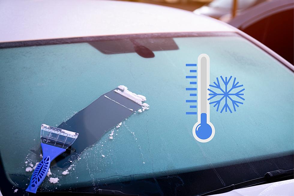
Wind gusts will probably exceed 30 mph for a good part of the day, as cold air "whooshes" in from the west. High temperatures will only reach the mid to upper 30s — well below normal for this time of year, by the way. And the wind chill (the "feels like" or "apparent" temperature) will likely be stuck in the 20s all day. Tuesday will be a good day to test out your heavier coat.
Overhead, we will see a mix of sunshine and some clouds. And there probably will be some flurries flying around too. If it's cold enough and winds calm enough, I could see a dusting sticking to the ground in spots. But nothing to write home about. (Except for the fact that this could be the first snowflakes of the season for most of NJ.)
Tuesday night will get very cold, a hard freeze with lows firmly in the 20s. At least the wind will calm down.
Wednesday
Still cold, but with lighter winds. Wednesday will be mostly sunny. And again, I could see some flurry activity firing up. High temperatures will be limited to the upper 30s.
Thursday
A welcome wind shift (to southwesterly) will help moderate temperatures a bit. I estimate we will end up in the upper 40s Thursday afternoon. Still a hair below normal for the last day of November, but not terrible.
Skies will slowly progress from sun to clouds on Thursday, as atmospheric moisture increases and our next storm system approaches. The day should remain completely dry though.
Friday & Beyond
There are two chances of rain in the long-range forecast.
The first is Friday afternoon through late evening. A batch of light to moderate rain, dropping up to a half-inch of total rainfall. Nothing wintry, nothing severe. Just some wet weather.
The second looks to arrive Sunday night. A bit more impactful, with pockets of heavy rain through Monday morning. Rainfall totals could exceed an inch. Given the influx of warm, humid air with this storm system, I don't think snow/mix will come into play. But it is something to watch on the backside, as temperatures cool down again next week.
High temperatures for the first weekend of December look seasonable, around the lower 50s. If you can avoid the raindrops (all of Saturday and daytime Sunday), you'll fare all right.
A list of NJ malls where you can get photos with Santa for the 2023 holiday season
Gallery Credit: Mike Brant
Dan Zarrow is Chief Meteorologist for Townsquare Media New Jersey. Follow him on Facebook for the latest forecast and realtime weather updates.
These are the long-gone NJ mall stores we miss the most
Gallery Credit: Erin Vogt
More From New Jersey 101.5 FM


