

NJ weather: Another day in the 30s, warmup and rain coming soon
The Bottom Line
Tuesday was not a very nice day. Temperatures 10 to 15 degrees below normal. Wind gusts as high as 42 mph. And lots of flurries and snow showers, making it feel even more wintry.
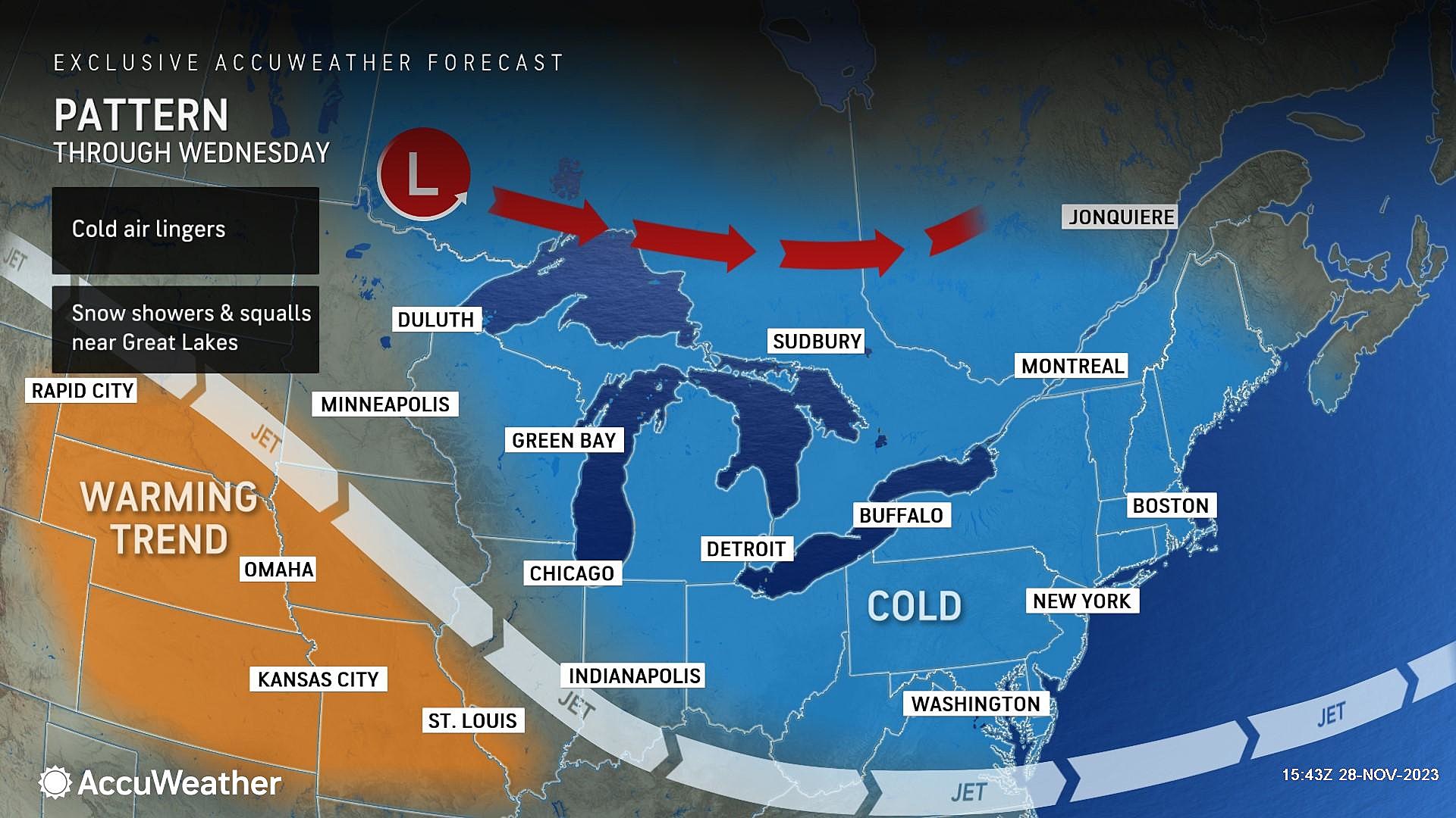
We have one more day of unseasonable cold on Wednesday. And at least this time around, winds will be calmer and the chance of snowflakes lower.
Temperatures will start to moderate as November turns to December, with widespread 50s ahead for the weekend. But our weather turns unsettled two, with at least two batches of rain coming up in the next week.

Wednesday
The entire state is frozen Wednesday morning, with temperatures firmly in the 20s. Bundle up, and watch for pockets of black ice. (Not that there's much moisture on the roads, but I hit a frozen puddle on my commute to work and can confirm it was very slippery.)
High temperatures on Wednesday will only reach the mid to upper 30s. And with a chilly breeze, most spots will probably see wind chills ('feels like" or "apparent" temperatures) in the 20s. The wind will be less ferocious than on Tuesday, but we will probably still see some gusts over 20 mph early on Wednesday.
Periods of sun and clouds will alternate through Wednesday afternoon. A flurry is possible again, although the setup is less ideal and the air is very dry.
It is going to be cold Wednesday night too, likely a freeze for most of the state. We will average upper 20s by Thursday morning, with clear skies and calm winds.
Thursday
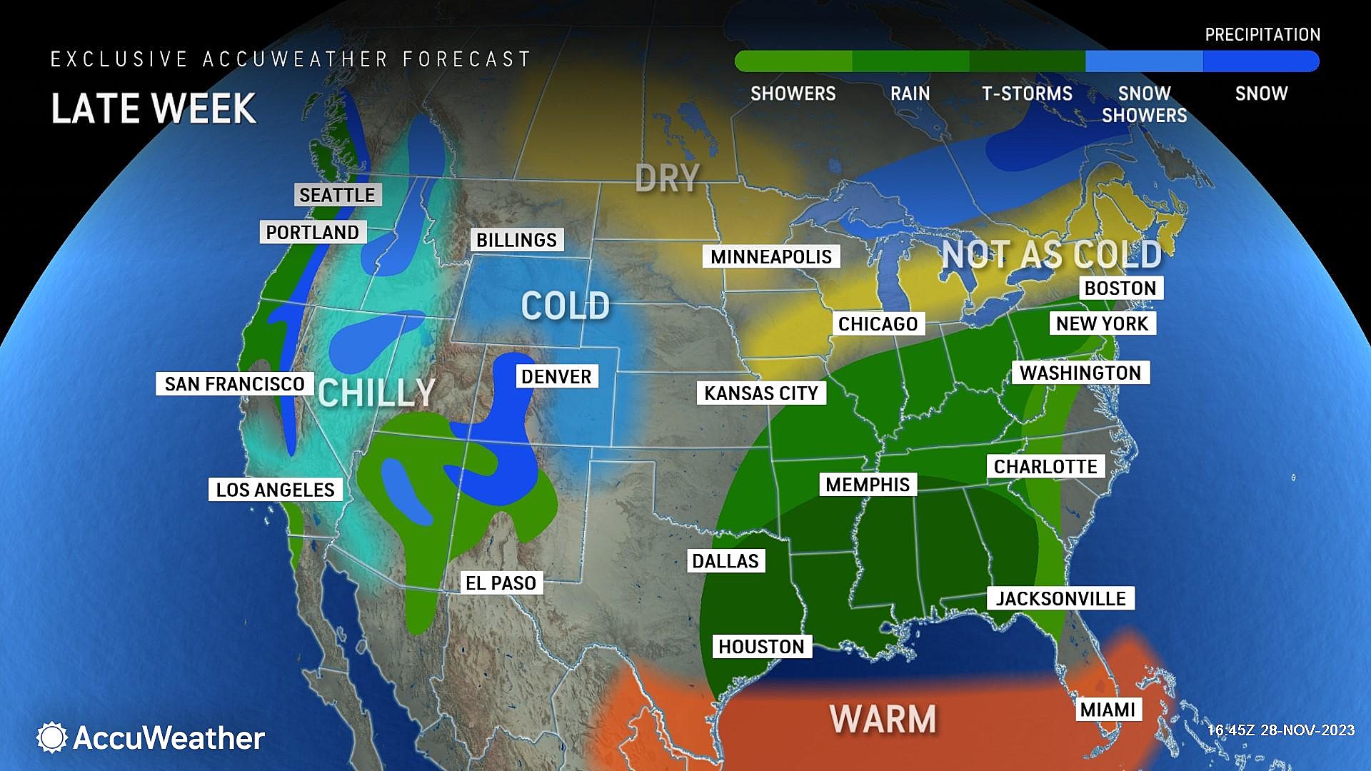
Warming up. I would not call it "warm". But definitely "warmer". You can ditch the heavy winter coat for a few days, at least.
Highs on Thursday will hit about 45 to 50 degrees. Still below seasonal normals, but not terrible. Skies will be partly sunny on balance, winds will stay light, and weather will be dry.
Friday
The month of December will begin with mild but unsettled weather, with two batches of rain aiming for New Jersey through the weekend.
The first will be scattered rain showers, arriving around midday Friday. That means the early morning hours should be dry, and you might even catch some early sunshine. Then skies turn mostly cloudy, as raindrops dampen NJ through the afternoon and early evening hours.
Total rainfall will be mediocre, only around a tenth of an inch. (This forecast is slightly earlier and lighter than we have discussed previously.)
Note: There is no need to ring alarm bells for potential winter weather (i.e. snow) from this storm system. The overall warmup plus the daytime timing should keep all precipitation liquid over the Garden State.
High temperatures on Friday will range from the mid 40s in North Jersey to the mid 50s in South Jersey. Overnight low temperatures should stay above freezing, so there is no threat of widespread icing.
Saturday
Saturday has potential, especially since I am maintaining a dry forecast at this time. It is going to be pretty cloudy though. Look for highs in the lower to mid 50s — right around or just above normal for early December.
Sunday & Beyond
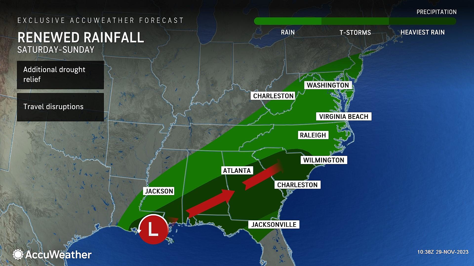
Sunday's forecast has gone downhill again, as pockets of rain return. But it does not look like a total washout.
The best chance of widespread, steady rain on Sunday will be early and late. Once again temperatures will be in the 50s. The atmosphere could even become unstable enough for a rumble of thunder, gusty storm cell, and/or localized downpour. Nothing too crazy though. And again, nothing wintry.
The chance of rain will carry into much of Monday, before some late-day clearing. By Tuesday, temperatures will be tumbling on a gusty wind again.
LOOK: Biggest snowfalls recorded in New Jersey history
Gallery Credit: Stacker
Dan Zarrow is Chief Meteorologist for Townsquare Media New Jersey. Follow him on Facebook for the latest forecast and realtime weather updates.
LOOK: Highest-rated free things to do in New Jersey, according to Tripadvisor
Gallery Credit: Stacker
More From New Jersey 101.5 FM


