Warm and dry today, but grab an umbrella for the rest of the week
Sunshine and a stiff southwest breeze will push temperatures to the upper 60s for Monday, while steady rain chances move in for Tuesday and beyond.
Here are your weather headlines for Monday, April 6, 2015...
Warm, Dry, Breezy Monday
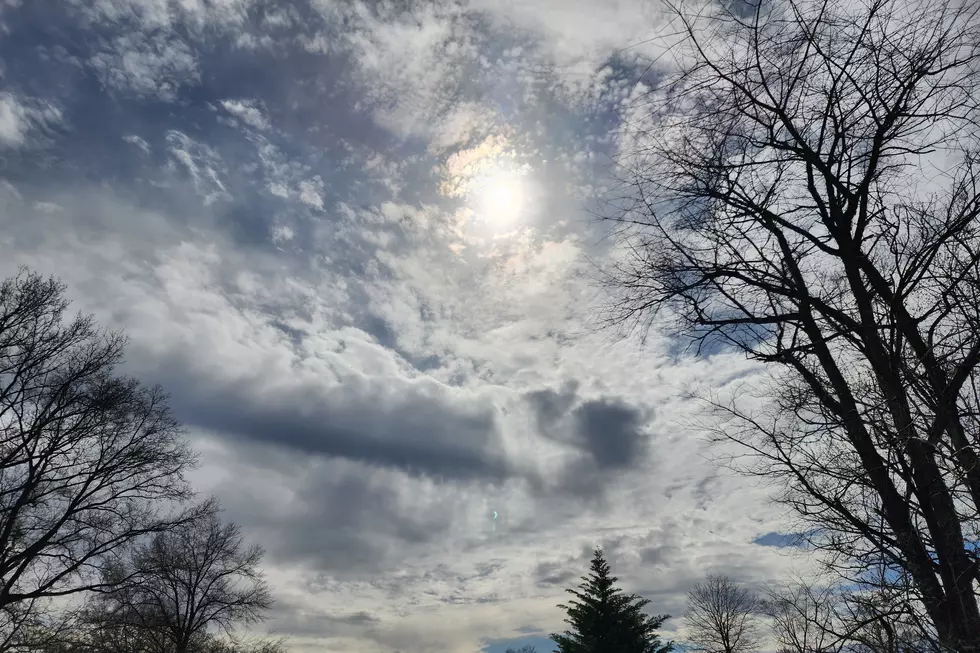
We’re closing out a pleasant holiday weekend (although windy at times) with one more nice day. Despite occasional clouds today, sunshine and a brisk southwest wind (10 to 20 mph) will push highs to about the 70° mark for most of the state. Newark and Trenton haven’t hit 70° since November, so this could turn into the warmest day of the season so far.
There’s a lot to like about today’s weather... especially since it will likely be the only totally day of the upcoming week...
April Showers & Thunderstorms
A unsettled weather pattern looks to be setting up this week, which will keep prolonged wet weather on top of New Jersey. Before I discuss what to expect, I need to mention that this forecast is extremely volatile. Because the timing and intensity of the rain is highly dependent on the exact positions of the frontal boundaries and atmospheric impulses, confidence is low for this forecast as a whole. And so I really can’t give any insight regarding specific geographical impacts or exact timing of the rain at this time. My best advice would be to keep an umbrella handy for Tuesday all the way through Friday.
As a cold front slowly sags through New Jersey on Tuesday, we’ll see a prolonged chance for showers and thunderstorms through the day - possibly starting before daybreak tomorrow morning in North Jersey, and lasting through evening. (Current models put the heaviest rain over New Jersey just after sunset on Tuesday.)
That cold front finally pushes through Tuesday night, and temperatures will tumble as a result (see below for more on that). That front will push down to around the mid-Atlantic states before stalling. That will keep scattered precipitation chances in the forecast for Wednesday and Thursday, but it shouldn’t be as widespread or heavy as on Tuesday. However, if those bands of precipitation pass through during the overnight hours, we could very well see some frozen stuff mixed in. It’s not a sure bet at this point, and I don’t think significant accumulations or travel impacts will happen, but it’s something we’ll have to watch.
The third phase of this week’s unsettled weather will come on Friday, as the aforementioned stubborn cold front pushes north as a warm front. So Friday will bring a chance for fog and drizzle, and perhaps some outright showers and thunderstorms. As high pressure builds eastward, the rain should finally clear out completely by early Saturday morning. And the forecast for next weekend looks outstanding.
Temperature Swings
Warm to cool to warm again... Yup, that’s what springtime in New Jersey is all about!
As long as it doesn’t rain hard all day long on Tuesday, temperatures should stay warm for at least the southern half of the state. 60s are a sure bet, but 70s will be possible if we see a prolonged break in the rainfall action Tuesday afternoon.
Tuesday night, a front will pull colder air into New Jersey and so those mild temperatures will be put on pause for a few days. Both Wednesday and Thursday will be significantly cooler, with high temperatures only reaching the mid to upper 40s. With normal highs bumping up to 60° this week, that will be 10°-15° below average. At the moment, it appears that overnight lows should stay above freezing for most of the state. (Although there is still a marginal chance for some frozen precipitation - see above.)
As a warm front returns on Friday, at least the southern part of the state will warm up into the 60s, under showers and thunderstorms.
High pressure for the upcoming weekend will keep temperatures steady in the seasonable lower 60s, and will keep winds light... we’ll deserve a nice, quiet weather weekend after a such a wet and tumultuous week!
More From New Jersey 101.5 FM


