Still nice Monday, but rainy days on the way for NJ
Several rounds of wet weather are expected across the Garden State through the middle of the week, with some thunder and a little bit of wintry mix possible.
We're coming off a true winner of a weekend, as temperatures peaked in the 50s and 60s for both Saturday and Sunday across New Jersey. No records were broken, but thermometers still reached more than 20 degrees above normal in spots!
Now, it's back to work and back to reality. A weak area of low pressure tracked across New Jersey late Sunday night, which brought some rain (particularly to the central and southern parts of the state). So don't be surprised to see some wet roads on Monday morning, but the rain has completely moved off-shore as of this writing.
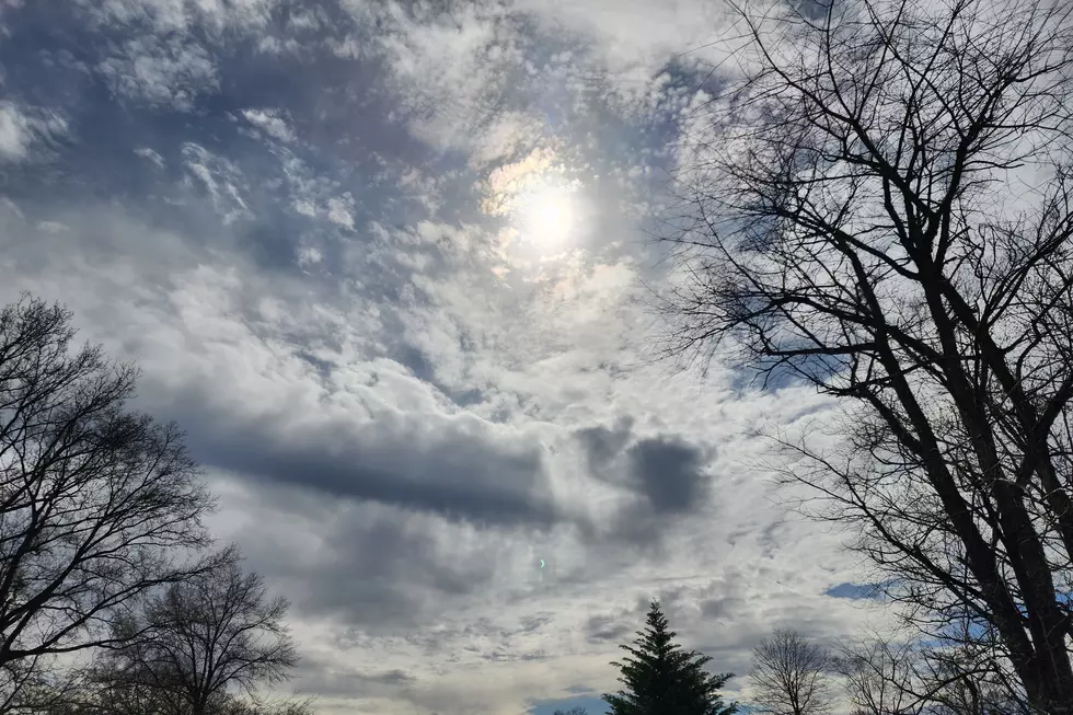
Throughout Monday, skies will range from mostly sunny to partly sunny, with light winds up to about 10 to 15 mph. Temperatures are forecast to top out between 45 and 51 degrees. Cooler than the weekend, but still above normal for late February.
Clouds will continue to increase Monday night. Lows will be comfortably cool, in the lower to mid 30s.
A multi-pronged, stormy setup will move toward New Jersey on Tuesday. And so, rain will spread from south to north from late morning onward. Tuesday's rain looks to be occasionally steady, and generally light to moderate in intensity.
As temperatures drop Tuesday evening, some changeover to wintry mix is possible, especially in North Jersey. I suppose an inch or two of snow accumulation is possible. I'm slightly more concerned about the freezing rain/icing potential through Tuesday night. But the wintry impacts of this system will be limited - our weather will stay mostly (if not exclusively) wet this week.
Wednesday will bring persistent showers, a brisk wind, and briefly warmer temperatures in the 50s and even lower 60s. This week's hardest rain will happen between Wednesday afternoon and Wednesday night. An approaching cold front will create a sharp edge for rising air, and therefore some very heavy rain is possible. Unfortunately, the timing of these downpours will probably coincide with Wednesday evening's commute. An inch or two of rainfall may fall during this time frame alone, which could lead to some localized flooding of streets, streams, and rivers.
Models show the rain will end early Thursday morning, with some lingering showers and clouds possible throughout the day. Colder air will start to arrive, causing temperatures to fall out of the lower 50s through Thursday afternoon.
The final weekend of February looks cooler, but otherwise quiet for New Jersey. High temperatures for Friday and Saturday will be close to seasonal normals, in the lower 40s.
More From New Jersey 101.5 FM


