Some NJ schools are already closing, delayed for Tuesday, March 14
TRENTON — What's projected to be the worst storm of the winter has led many schools and businesses to close ahead of time for Tuesday.
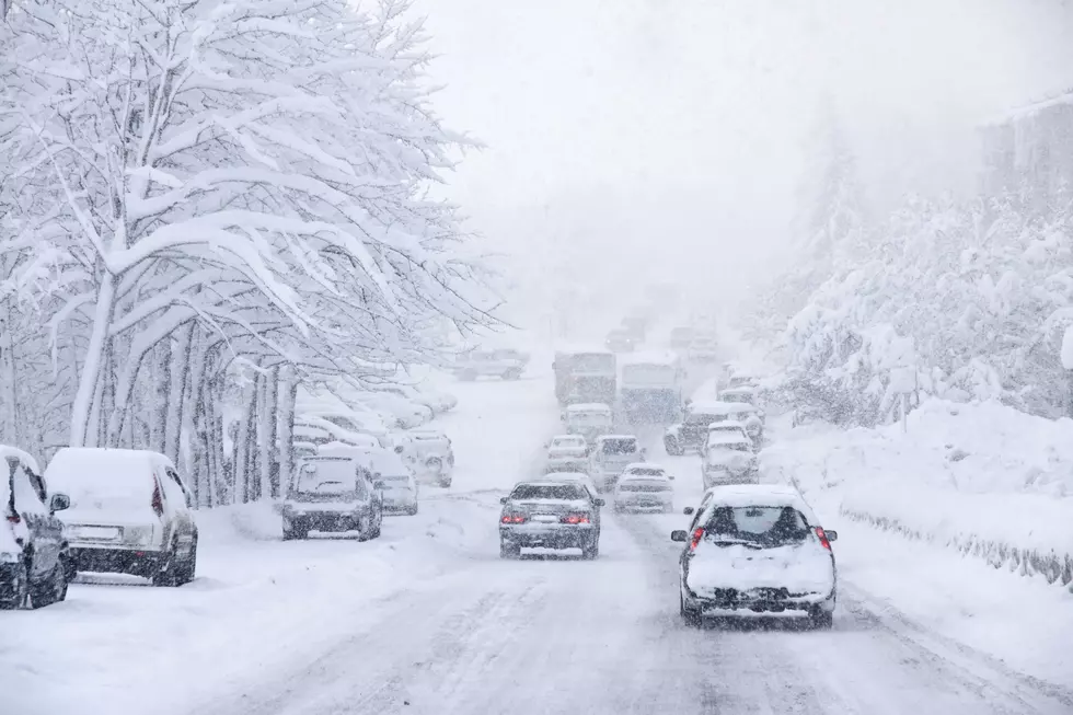
"The peak of the storm, featuring the heaviest snowfall and highest winds, will happen from about 2 a.m. to 2 p.m. Tuesday," New Jersey 101.5 Chief Meteorologist Dan Zarrow said. "Sustained winds of 20 to 30 mph are expected throughout the peak of the storm. Gusts over 40 mph inland and over 50 mph along the coast could cause downed trees. Scattered power outages are likely. Widespread power outages are possible."
All across the state, many classes are cancelled or on a delayed opening for Tuesday.
Zarrow expects 12 to 18 inches of snow to fall in North and Central Jersey, with sleet and rain mixing in closer to the Jersey Shore.
Conditions will generally improve from Tuesday afternoon through evening, although periods of light snow may continue through part of Wednesday, Zarrow said.
If you don't see your district or school listed, check back, as their status could change. Also, some delayed openings could change to cancellations.
Contact reporter Dan Alexander at Dan.Alexander@townsquaremedia.com.
More from New Jersey 101.5:
More From New Jersey 101.5 FM