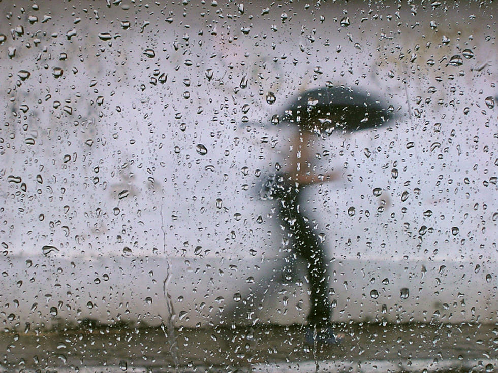
Periods of moderate to heavy rain all day Friday for NJ
Flooding will be possible as a moisture-rich storm system slowly slides through the Garden State, producing an extended period of soaking rain.
It's going to a wet, windy, and just plain nasty end to the workweek and the month of March. As of this writing, we've already seen one push of solid rainfall across New Jersey — that's nothing compared to what's in the forecast.
We'll actually see a relative lull or break in the rainfall action through much of Friday morning. Don't be deceived though — your umbrella, rain coat, and windshield wipers will get quite a workout later.
The heaviest, steadiest rain is expected to fall from Friday afternoon through Friday evening. Models have upped statewide rainfall totals — I think it's now safe to expect about 1.5" for most of the Garden State, with areas over 2.5" possible where the rain really pours.
That's certainly enough to cause flooding of low-lying and poor-drainage areas, and then some. Flooded roadways may need to be closed. (The National Weather Service has issued a Flood Watch for much of New Jersey, from Noon Friday through late Friday night.) Visibility will also be very poor in heavy rain bands.
While there could be brief periods of of sleet and/or freezing rain in the higher elevations around Sussex County, wintry weather is not expected to be a widespread or significant issue
Along the Jersey Shore, a Coastal Flood Advisory is in effect for potential minor flooding at the times of high tide Friday and Saturday morning.
Rain continues Friday night, eventually lightening up a bit after Midnight. Residual showers should come to an end by about 10 a.m. Saturday.
And then the rest of the weekend looks great! Skies will clear and winds will calm through Saturday afternoon. Temperatures will end up a bit below normal, with highs in the lower 50s.
Sunday will be the better of the weekend days, as our weather stays dry and skies will become sunny. High temperatures will climb into the upper 50s to around 60 degrees. It will be a bit breezy, up to about 20 mph.
Monday daytime looks pleasant too. But our next storm system and chance of heavy rain will be just around the corner, from late Monday night through Tuesday.
More From New Jersey 101.5 FM


