
Oppressive heat continues across NJ on Friday
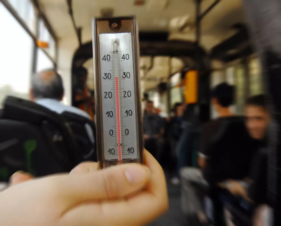
Friday marks a second straight day of dangerous heat for New Jersey, with heat advisories already in effect for Mercer, Salem, Gloucester and parts of Burlington counties, and a heat index again threatening to top out at 105.
Those advisories, as Thursday's did, will last until at least 6 p.m. Friday, and carry with them all the standard precautions: Stay hydrated, curtail outdoor activity, and protect the elderly and the very young.
If there is one thing I think I've learned as Acting Assistant Junior Meteorologist*, and Dan could either back me up on this or refute it, it's that weather patterns sometimes get stuck in a "Groundhog Day" sort of rut: You seemingly see the same forecast repeated over two or even three days.
And that's mostly true for Friday.
We have the same heat advisory, the same humidity, the same forecasted highs (a range of 88 to 96 across most of the state), and the same heat index values (98 to 105 by the afternoon) as Thursday. But what will change on Friday are some of the actual conditions outside those numbers.
The day should be a bit more hazy in general than Thursday was, and there's a chance temperatures will be cooler -- though not by much -- at the Jersey Shore. Also, late afternoon brings in the possibility of thunderstorms, a threat which could hang around into the evening.
*By the way, if you're a regular reader of this blog, you know Dan's son Jackson is NJ101.5's official Junior Meteorologist. I don't mind being outranked here.
Storms move out Friday evening to usher in partly cloudy skies, with overnight lows from the upper 60s to mid-70s. Then on Saturday, there is one more day of 90-plus degree heat. It'll be partly sunny, again humid, and the highs will range from the mid-80s to lower 90s -- the heat index making it feel like "only" 95 to 101, though.
Another thunderstorm chance moves in late in the day on Saturday; that chance strengthens Saturday evening, but all rain should be gone by Sunday. That day actually looks quite nice right now, partly sunny with highs in the upper 70s to mid-80s.
Monday brings further relief, with plenty of sunshine for Dan's return and highs peaking around *just* 80 degrees.
Meteorologist Dan Zarrow is on vacation and returns Monday, September 12. Patrick Lavery produces “New Jersey’s First News” and is New Jersey 101.5’s morning drive breaking news reporter.
More from New Jersey 101.5:
More From New Jersey 101.5 FM


