
Occasional raindrops and breaks of sunshine Tuesday for NJ
There will be periods of partly sunny skies in between widely scattered showers and thunderstorms, with pleasant temperatures just below late June normals.
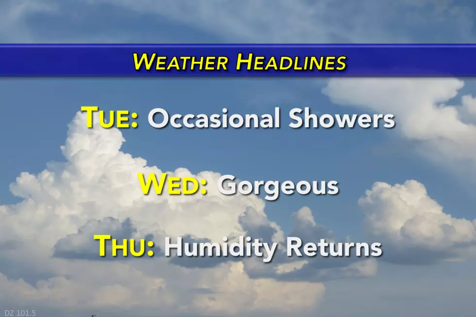
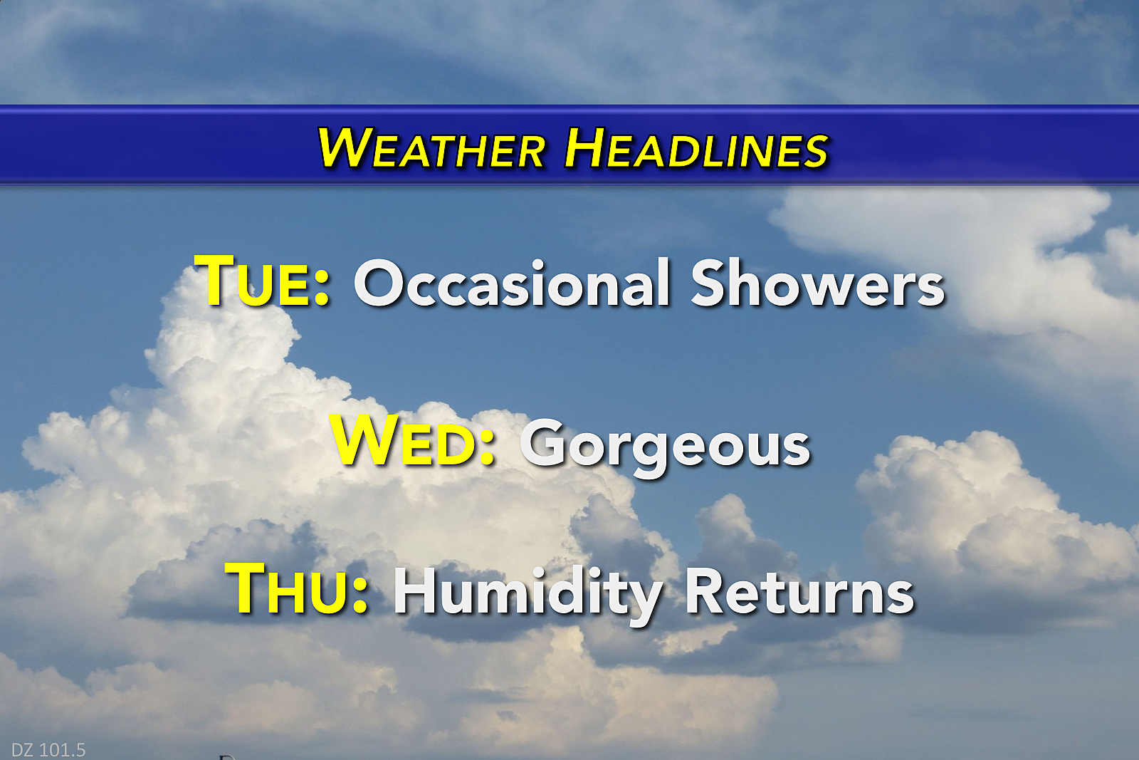
Here are your weather headlines for Tuesday, June 27, 2017...
Low Humidity + Rain?
I know it seems like an odd forecast combination - we'll continue to enjoy low humidity and dry air on Tuesday, but sporadic rain chances will pop up throughout the day too. How is that possible? The atmosphere will have just enough lift and moisture to produce rain.
We've already seen a round of brief but healthy rainfall push across much of the Garden State — a couple spots picked up over a quarter-inch in the rain gauge. As of this writing, that band of rain is exiting New Jersey and should wrap up completely by 8 a.m. at the latest.
Widely scattered showers and a few brief thunderstorms will be possible through Tuesday afternoon and evening. But in between the raindrops, I think skies will average partly sunny. High temperatures will once again end up a few degrees below normal for late June, in the upper 70s to around 80 degrees.
By sunset Tuesday night, any rainfall activity will have pulsed down, and we'll see the skies clear out through the overnight hours. Thanks to continuing low humidity, low temperatures will be pleasantly cool in the mid to upper 50s for most of the state.
Wonderful Wednesday
The dome of high pressure that has been driving our pleasant humidity levels will be right on top of New Jersey on Wednesday. That will lead to a simply gorgeous day, with abundant sunshine and high temperatures around 80 degrees.
Enjoy it while it lasts...
Humidity Makes a Comeback
By Thursday, the summertime stickiness and steaminess returns to the forecast. Increasing clouds will accompany increase temperatures on Thursday, as high temps bounce into the mid 80s. While models have hinted at an isolated shower sometime Thursday, I'm leaning toward a dry forecast for now.
Friday gets even warmer — eh, hotter. High temperatures will spike into the upper 80s away from the coast, with a few 90s possible. Add in the newly refreshed oppressive humidity, and it's going to feel pretty oppressive. We could see heat index ("feels like") temperatures in the mid 90s (at least) for Friday and beyond.
A few showers are possible on Friday too, but it will do little to cool us down.
The Holiday Weekend
July begins on Saturday. I can tell you a few things about the weather forecast for the 4th of July holiday weekend: it's going to be hot and humid, and there will be scattered showers and thunderstorms.
Hottest days through the holiday look to be Saturday and Sunday.
Stormiest periods look to be Saturday, Monday, and late Tuesday.
Best chance for dry, reasonably pleasant weather? Sunday.
While no day will be a total washout, it would be worthwhile to pay attention to "rain dates" as you make your fireworks plans.
More From New Jersey 101.5 FM


