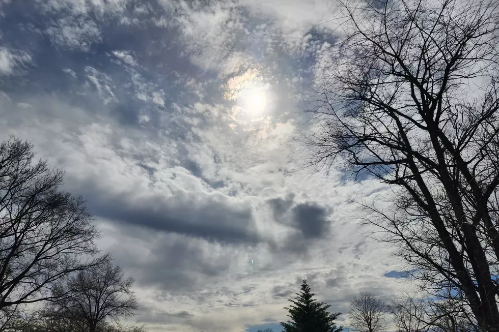
NJ weather: Sunny and 60 Wednesday, cloudy and 50 Thursday
After one more mild day for New Jersey, a weak cold front will knock temperatures back to more seasonable levels.
Hey New Jersey, don't get too spoiled by Wednesday's lovely, mild 60-degree weather. More seasonable (read: cooler) temperatures are coming, although there's still nothing dramatic in the short-range forecast.
As expected, thermometers across most of New Jersey aren't very cold — most (not all) spots are in the 40s and 50s. It's probably still cool enough that you'll want a jacket as you step out the front door, but these temperatures are closer to normal high temperatures than low temperatures for this time of year.
I have been promising that Wednesday will be the warmest day of the week, and it looks like Mother Nature will delivery. On Tuesday, we saw scattered 60s along the I-295 corridor in SW NJ. For Wednesday, 60s will probably be widespread throughout Central and South Jersey. The day will start out bright and sunny.
However, a weak cold front will begin pushing into the state Wednesday afternoon, marking the "beginning of the end" of our streak of mild weather. It looks like this frontal passage will be dry, although I do expect a marginal increase in cloud cover. Additionally a brisk wind will pick up just before and after the front, with regular gusts over 20 mph.
So for Wednesday night, chilly air will make a comeback. Lows will dip into the upper 20s to lower 30s. Clouds will increase between Midnight and daybreak.
Thursday will be a very different day than Wednesday. No more 60s — highs will end up near 50 degrees (close to seasonal normals). No more bright sunshine — clouds will clearly win the sky.
Another front will push through New Jersey from late Thursday night through early Friday morning. This one will probably carry enough moisture to spawn a few showers between about 10 p.m. Thursday and 10 a.m. Friday. As I've discussed throughout this week, these showers will be light, scattered, and all-rain. Rainfall totals will end up below a tenth of an inch.
After these rain showers exit the Garden State, skies should rapidly clear away to sunshine (by Friday lunchtime at the latest). High temperatures for this first day of December will be seasonable (near-normal), again in the neighborhood of 50 degrees.
The storm system that was modeled to impact New Jersey this weekend? Gone. Dry air and a more favorable storm track will keep things reasonable pleasant — by late December standards, at least. We'll see a mix of sun and clouds for both Saturday and Sunday. Highs on Saturday will hold steady near 50, with lower 50s in the forecast for Sunday.
No big storms, arctic blasts, or otherwise overly eventful weather
More From New Jersey 101.5 FM


