Learn More About Winter Storm Nemo
Last week's nor'easter, dubbed Nemo, is the first major snowstorm in New Jersey this winter season.
Why the Nor'easter is called Nemo
The Weather Channel decided last fall that this would be the first winter season that winter storms would be given a name.
The Weather Channel is acting alone on this because the National Weather Service and websites of major TV news networks do not follow The Weather Channel's actions of naming winter storms.
Many people opposed the idea because winter storms can have a different effect in two nearby areas. A difference of 1 degree can result in one area getting snow and another area getting rain. But there are some positives for naming winter storms. Similar to naming hurricanes, naming winter storms raises awareness, makes it easier to track a weather system’s progress, and is much easier to refer to in the future.
How Nemo Developed
Before Nemo formed, it started out as two separate low pressure systems. One low pressure system came from the west, and another low pressure system came from the south. They merged together to form one powerful winter storm.
The merging of two storms is called a Miller Type B storm. It is considered a complex storm because it features two low pressure systems. In this scenario, there is usually one low pressure inland over the Appalachians, and the other low pressure off the coast of North Carolina.
The timing of the merge is very important because if the merge occurred too late, then the storm would have been another regular rain storm.
Effects of Nemo
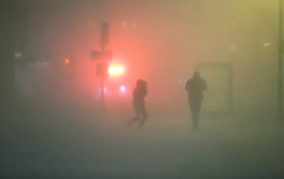
Nemo’s effect was very widespread. New England was hit the hardest from this storm. Not only was snow a factor, winds were very strong as it produced blizzard-like conditions.
A blizzard is classified as a severe snowstorm with sustained winds of at least 35 miles per hour. Resulting in blowing or drifting snow which reduces visibility. The difference between a regular snowstorm and a blizzard is not the amount of snowfall, but the strength of the wind.
The low pressure system from the west moved too slow, causing a later merge than expected. And because the merge of the two low pressure systems occurred late there were more rain along the coast.
Central New Jersey received about 8 to 10 inches of snow. Northern New Jersey received anywhere from 10 to 20 inches of snow. Find all of NJ's snowfall totals here. The bulk of the snowfall occurred in New England where parts of Connecticut received over 30 inches of snow.
There were reports of rates of 3 to 5 inches of snow per hour. There was also a report of winds gusting over 80 miles an hour. To put that into perspective, a category 1 hurricane has sustained winds of at least 74 miles an hour.
More From New Jersey 101.5 FM


