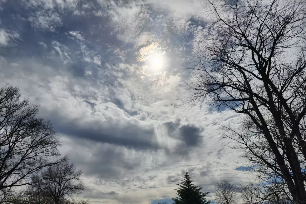
Funnel Cloud Spotted From the Driscoll Bridge in NJ
A funnel cloud was spotted by commuters late this morning from the Driscoll Bridge. The National Weather Service at Mount Holly is classifying it as a cold-air funnel that formed around 8:45 a.m.
Meteorologist Justin Ryan confirms the cold-air funnel after viewing a photo of it. He says that when you have cold, dry air like we did last night into this morning and warm sun, it forms what's called a cold-air funnel. It's a very weak formation, if it touches the ground, it would be considered a minor tornado, he explains.
New Jersey's Office of Emergency Management, State Police and Sayreville police say they haven't received any phone calls reporting a funnel cloud in the area but that it doesn't mean it didn't happen.
The National Weather Service has issued several severe weather alerts for the area today.
Strong thunderstorms are expected to hit parts of Middlesex County with small hail, strong winds, heavy rains and dangerous cloud-to-ground lightening.
In addition to this, widespread coastal flooding is expected from 6 p.m. to 11 p.m. in Middlesex, Monmouth, Ocean, Cumberland, Atlantic, Cape May, Burlington counties.
Tidal flooding could reach moderate levels during high tide, according to an alert issued by the weather service. Drivers are urged not to attempt to drive through flood waters.
JCP&L is reporting nearly 600 power outages in Howell as of noon. PSE&G reports outages in Passaic and Burlington counties where anywhere from 501 to 2,000 people affected. Smaller outages of less than 500 are reported in Hudson, Sussex, Union, Somerset and parts of Camden as of 11:45 a.m.
Dan Alexander contributed to this report.
More From New Jersey 101.5 FM


