Dan Zarrow, in Irma’s path — ‘There is no best-case scenario’
New Jersey 101.5 Meteorologist Dan Zarrow, on vacation in Florida, finds himself in the path of Hurricane Irma — planning to leave just half a day before the local airport shuts down. He's been providing updates via the Meteorologist Dan Zarrow Facebook page.
The following is Zarrow's latest report:
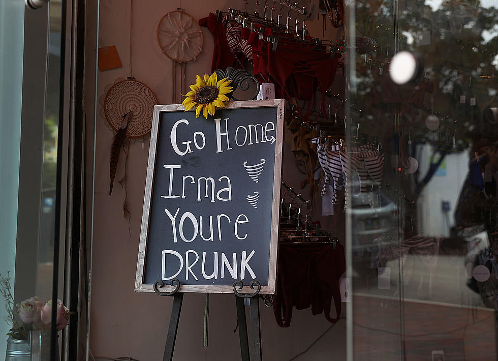
THERE REALLY IS NO "BEST-CASE SCENARIO" for Hurricane Irma. The islands along the northern rim of the Caribbean Sea have taken severe damage and tonight the Bahamas are getting battered. Florida will be next.
On the latest NHC update I've pasted below, compare the yellow/orange "hurricane force winds" area to the white "cone of uncertainty" path along Florida. Best case? Someone in Florida sees hurricane force winds. Worst case? Everyone in Florida experiences the impact of a major hurricane. This is a monster of a storm, and the surge, wind, and rain may very well be catastrophic.
Oh, by the way, I'm still in Florida at Disney World right now. And you can feel the hurricane apprehension from guests and staff/locals alike. Trying not to let the storm dampen our vacation fun, though. Our flight out is Saturday morning — the airport shuts down Saturday evening. My backup plan is to drive a rental car all the way back to Jersey, but I really hope it doesn't come to that. I-95 was backed up from Miami to South Carolina earlier today.
As for the NJ forecast, we'll probably get some rain and wind next week (Wednesday-ish). That picture will become clearer once the storm makes its final landfall.
More from New Jersey 101.5:
More From New Jersey 101.5 FM