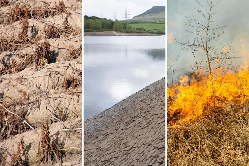
All that rain last weekend did help NJ stave off potential drought
A new report by the U.S. Drought Monitor finds most parts of New Jersey are not as dry as they have been for the past month, but water conservation is still recommended.
According to Dave Robinson, New Jersey’s state climatologist, the U.S. Drought Monitor is a consortium of organizations that have come together to study drought in different parts of the United States, including New Jersey.
“It’s part of what’s called the National Integrated Drought Information System, and it includes agricultural and hydrologic experts, meteorologists, and climatologists,” he explained.
Robinson said the report finds conditions in New Jersey are improving, due in part to the heavy rains that drenched parts of the state last weekend, but also because last month turned out to be the 14th wettest on record.
He said for the past several weeks the U.S. Drought Monitor had listed North Jersey and some Central Jersey areas as being in a moderate drought classification, and parts of South Jersey as being abnormally dry. But with the recent rainfall we got last weekend “this week’s Drought Monitor has removed the abnormally dry category from most of South Jersey and up in the northern half of the state there’s been some reduction in the area of moderate drought where the very heavy rains fell over the weekend.”
Ne noted lower Cape May County remains abnormally dry, but very heavy rain, in the 6 to 8-inch range, fell over the Highlands region, so that area has gone from a moderate drought to a abnormally dry classification.
Robinson also said in a few areas in the Central Jersey Route 1 corridor, where very heavy rains fell last weekend, they’ve gone from a moderate drought classification back to normal.
Nevertheless, a significant part of North Jersey is still listed as being in a moderate drought classification.
“We don’t know what’s going to happen next,” said Robinson. “It remains to be seen if all the hydrologic variables, the groundwater, the stream flow and the reservoir levels, how they’re going to respond over the days and couple of weeks ahead, therefore it was prudent to hold back on making a big large-scale change, just because of a week of heavy rain.”
Robinson stressed the take-home point is “things are much better than they were just days ago, but it doesn’t mean we’re fully out of the woods yet. We’re talking about a situation that began really late last summer when we were quite dry, and continued into March and April which were very dry, so we’ve been teetering there, right at the edge of getting into more concern when it comes to drought, however all the indicators are responding to the rains of late, and of course we’re hoping that timely and abundant enough rains continue into August.”
He pointed out the drought watch for Central and North Jersey, issued by the state Department of Environmental Protection at the beginning of last week, is based on current water supplies, and the DEP is a separate agency from the U.S. Drought Monitor, but the work of both agencies does dovetail.
"The U.S. Drought Monitor takes a broader look at a number of variables, including soil moisture, fire danger, hydrologic parameters such as stream flow, groundwater levels and rainfall. The Drought Monitor tends to lead what goes on with the state, because those variables can indicate what will happen with the reservoirs, so the agencies complement each other.”
More From New Jersey 101.5 FM