Beautiful, warm spring weather returns to NJ for two whole days
The Bottom Line
We closed the record books on April by adding a little more rainfall to the final tally, as a round of thunderstorms rumbled through the Garden State Tuesday evening. April rainfall was very close to normal, the long-term averages. In terms of temperature, there was some back-and-forth throughout the month, but it looks like the final average is about 3 degrees above normal.
Welcome to May! Now that we are firmly in spring — a transition season — it should be no surprise this is a middle-of-the-road month for New Jersey. On average, it is our 5th warmest, 5th driest, and 8th snowiest month of the year.
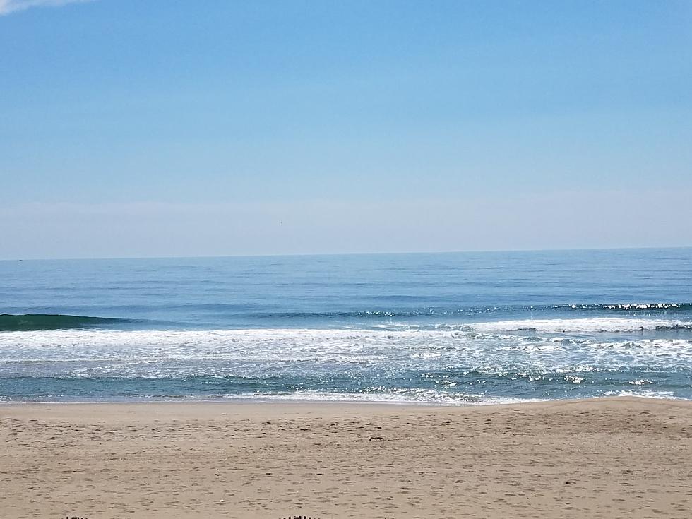
Following some thunderstorms and wacky temperatures on Tuesday — ranging from 56 to 88 degrees in NJ — our weather will settle down Wednesday. We fall into gorgeous spring weather for the next two days, with dry conditions, bright skies, and warmer-than-normal temperatures.
By the end of the week, that chilly, moist marine air will increase cloud cover and send temperatures tumbling.
And the weekend does not look great, as rain and miserably cool temperatures return to the forecast.

Wednesday
As of this writing (6:30 a.m.), showers have exited the New Jersey coast. But we are left with some patchy drizzle, mist, fog, and wet roads lending toward a damp and raw morning overall.
Because of that, you might reach for the jacket early on. Morning temperatures are in the 50s.
We will continue to dry out, with partial sunshine emerging by midday Wednesday. The afternoon should be splendid, as most temperatures surge into the 70s. 80 is a possibility in that warm southwest sector of the state.
However, a sea breeze will kick in Wednesday afternoon, once again squashing the warmth at the Jersey Shore. I expect temperatures to barely hit the 60s east of the Parkway.
Wednesday night could bring a resurgence of fog and low clouds. Temperatures will be comfortably cool, bottoming out around the mid 50s.
Thursday
Thursday is probably the nicest day in this forecast. Certainly the warmest.
Expect a noticeable southerly breeze, a bright mix of sun and clouds, and completely dry weather. That combination will fuel a warmup to around 80 degrees Thursday afternoon. There is some give and take in that number — the Shore will end up close to 70, while I could see mid 80s again to the southwest.
Our fourth day in a row of summerlike heat for part of the Garden State.
Friday
Changes again. Another infusion of ocean-influenced air will thicken up clouds quickly Friday morning. And temperatures will crash, as a result.
Expect high temperatures only in the 60s on Friday. Most likely "mid" 60s. I'm calling it mostly cloudy, not quite overcast, so you may catch a hint of sun at some point. And despite the increased gray overhead, Friday does look completely dry.
Saturday
Weather in a word for this weekend? Blah.
On Saturday, you will have a chance to salvage much of the day. Some model guidance paints rain showers starting in the afternoon. But some keeps the day mostly (if not totally) dry.
It will be cloudy and cool, with a damp easterly wind. High temperatures will only hit about 60 degrees. More like 50s along the coast. That is almost 10 degrees below normal for this time of year.
Sunday
Sunday looks wet. I am not ready to call it a total washout, as you may catch a pocket of dry weather. (Especially in the morning.) But all signs are pointing to periodic rain for most of the day and night, totalling about an inch by the time it's done.
Meanwhile, because of the clouds, raindrops, and on-shore breeze, high temperatures will barely make it into the 50s on Sunday. A typical March day. Pretty miserable, I'm sorry to say.
The Extended Forecast
You know, Mother Nature has a twisted sense of humor. After awful weather centered directly on the first weekend of May, we will warm right back up again next week.
Expect 70s for Monday and Tuesday. But those will be unsettled 70s, with a daily chance of showers and thunderstorms thrown in too. (I do not want to get too specific about rain timing just yet.)
The rain chances and relative warmth will probably continue into Wednesday and Thursday too. I expect an influx of cooler, drier air to put an end to that occasionally stormy weather pattern. Likely arriving just in time for the Mother's Day Weekend.
How much does parking cost at NJ fun spots?
Gallery Credit: Dan Alexander
Dan Zarrow is Chief Meteorologist for Townsquare Media New Jersey. Follow him on Facebook for the latest forecast and realtime weather updates.
Final flakes: When does snow season end in NJ?
Gallery Credit: Dan Zarrow
More From New Jersey 101.5 FM


